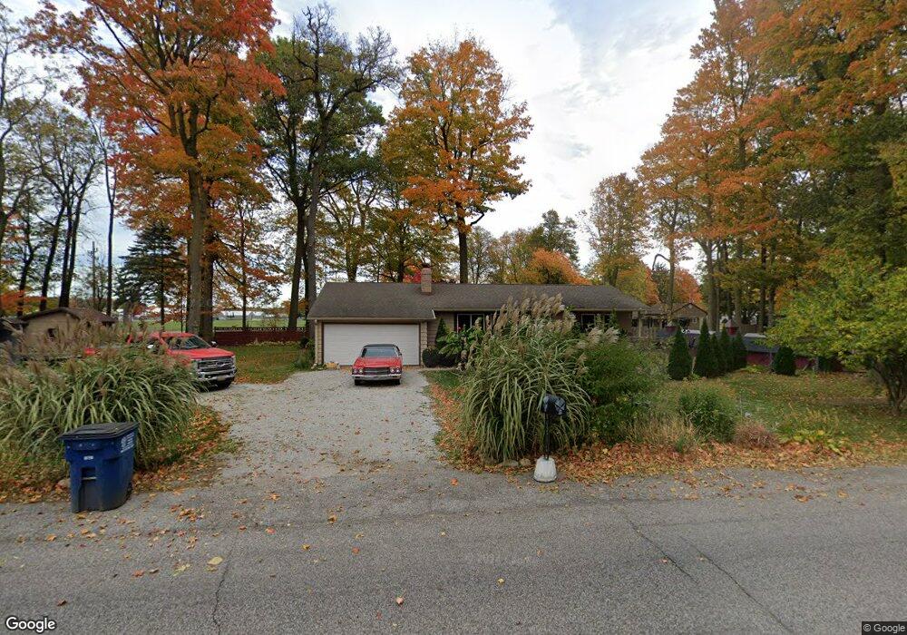
2555 W 18th St La Porte, IN 46350
Estimated Value: $225,000 - $282,000
2
Beds
2
Baths
1,442
Sq Ft
$169/Sq Ft
Est. Value
About This Home
This home is located at 2555 W 18th St, La Porte, IN 46350 and is currently estimated at $243,505, approximately $168 per square foot. 2555 W 18th St is a home with nearby schools including La Porte High School, Riley Elementary School, and Kesling Intermediate School.
Ownership History
Date
Name
Owned For
Owner Type
Purchase Details
Closed on
Aug 26, 2025
Sold by
Landes Gregg A and Landes Vicky L
Bought by
Skyhwy Fuels Inc
Current Estimated Value
Purchase Details
Closed on
Jan 21, 2016
Sold by
Mayflower Motel Llc
Bought by
Landes Gregg A and Landes Vicky L
Home Financials for this Owner
Home Financials are based on the most recent Mortgage that was taken out on this home.
Original Mortgage
$74,000
Interest Rate
3.97%
Mortgage Type
New Conventional
Create a Home Valuation Report for This Property
The Home Valuation Report is an in-depth analysis detailing your home's value as well as a comparison with similar homes in the area
Home Values in the Area
Average Home Value in this Area
Purchase History
| Date | Buyer | Sale Price | Title Company |
|---|---|---|---|
| Skyhwy Fuels Inc | -- | None Listed On Document | |
| Landes Gregg A | -- | None Available |
Source: Public Records
Mortgage History
| Date | Status | Borrower | Loan Amount |
|---|---|---|---|
| Previous Owner | Landes Gregg A | $74,000 |
Source: Public Records
Tax History Compared to Growth
Tax History
| Year | Tax Paid | Tax Assessment Tax Assessment Total Assessment is a certain percentage of the fair market value that is determined by local assessors to be the total taxable value of land and additions on the property. | Land | Improvement |
|---|---|---|---|---|
| 2024 | $3,085 | $160,100 | $42,800 | $117,300 |
| 2022 | $2,405 | $136,300 | $29,000 | $107,300 |
| 2021 | $2,405 | $123,000 | $29,000 | $94,000 |
| 2020 | $2,359 | $123,000 | $29,000 | $94,000 |
| 2019 | $2,378 | $120,400 | $29,000 | $91,400 |
| 2018 | $2,692 | $134,000 | $27,800 | $106,200 |
| 2017 | $2,234 | $114,800 | $27,800 | $87,000 |
| 2016 | $822 | $113,900 | $27,800 | $86,100 |
| 2014 | $800 | $115,100 | $25,200 | $89,900 |
Source: Public Records
Map
Nearby Homes
- 1009 S Redbud Dr
- 2425 W 18th St
- 2183 W Oak St
- 2261 W Joliet Rd
- 694 S Maple Leaf Ln
- 2241 W Saint Road 2
- 54 Victoria Cir
- 52 Victoria Cir
- 1105 W 18th St
- 1527 5th St
- 101 Miller St
- 826 Kingsporte Ave
- V/l State Road 39
- N SR State Road 39
- 0 State Road 39
- 607 J St
- 509 K St
- 1522 Sallwasser Ave
- 502 Circle Dr
- 1539 Weller Ave
- 2652 W State Road 2
- 977 S Redbud Dr
- 974 S Redbud Dr
- 2532 W 18th St
- 2502 W 18th St
- 951 S Nursery Rd
- 2591 W Hickory Ct
- 1016 S Westwood Dr
- 2487 W 18th St
- 2545 W Larch Ln
- 2623 W Hickory Ct
- 1015 S Westwood Dr
- 1044 S Westwood Dr
- 2465 W 18th St
- 2606 W Hickory Ct
- 2626 W Hickory Ct
- 2576 W Larch Ln
- 2485 W Pepperidge Ct
- 2462 W 18th St
- 2562 W State Road 2