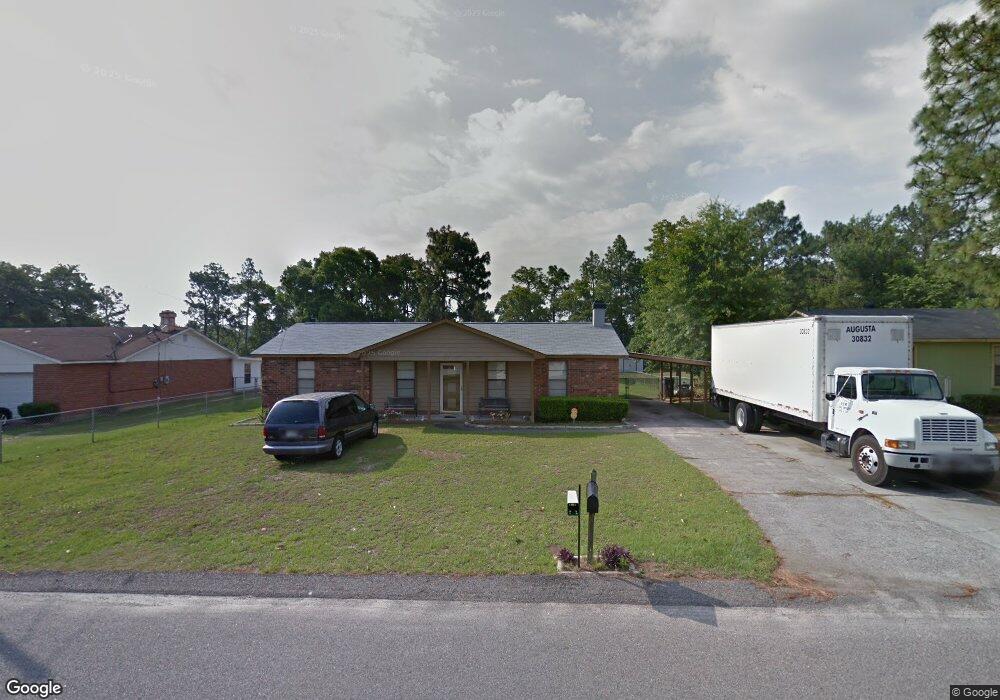
2556 Anthony Dejuan Pkwy Hephzibah, GA 30815
Jamestown NeighborhoodEstimated Value: $169,000 - $206,000
3
Beds
2
Baths
1,350
Sq Ft
$136/Sq Ft
Est. Value
About This Home
This home is located at 2556 Anthony Dejuan Pkwy, Hephzibah, GA 30815 and is currently estimated at $183,349, approximately $135 per square foot. 2556 Anthony Dejuan Pkwy is a home located in Richmond County with nearby schools including Diamond Lakes Elementary School, Pine Hill Middle School, and Johnson Magnet.
Ownership History
Date
Name
Owned For
Owner Type
Purchase Details
Closed on
Aug 25, 1989
Sold by
Veterans Affairs Administrator Of Veter
Bought by
Williams Charles Williams Laura
Current Estimated Value
Purchase Details
Closed on
Aug 1, 1989
Sold by
Veterans Affairs Ad
Bought by
Williams Charles
Purchase Details
Closed on
Dec 1, 1987
Sold by
Haskell Robert J
Bought by
Dent Rickey G
Create a Home Valuation Report for This Property
The Home Valuation Report is an in-depth analysis detailing your home's value as well as a comparison with similar homes in the area
Home Values in the Area
Average Home Value in this Area
Purchase History
| Date | Buyer | Sale Price | Title Company |
|---|---|---|---|
| Williams Charles Williams Laura | -- | -- | |
| Williams Charles | $50,000 | -- | |
| Dent Rickey G | $55,900 | -- |
Source: Public Records
Tax History Compared to Growth
Tax History
| Year | Tax Paid | Tax Assessment Tax Assessment Total Assessment is a certain percentage of the fair market value that is determined by local assessors to be the total taxable value of land and additions on the property. | Land | Improvement |
|---|---|---|---|---|
| 2025 | $1,986 | $61,440 | $6,000 | $55,440 |
| 2024 | $1,986 | $58,960 | $6,000 | $52,960 |
| 2023 | $1,241 | $56,244 | $6,000 | $50,244 |
| 2022 | $1,227 | $34,706 | $6,000 | $28,706 |
| 2021 | $1,227 | $32,050 | $6,000 | $26,050 |
| 2020 | $1,211 | $32,050 | $6,000 | $26,050 |
| 2019 | $1,271 | $32,050 | $6,000 | $26,050 |
| 2018 | $1,278 | $32,050 | $6,000 | $26,050 |
| 2017 | $1,236 | $32,050 | $6,000 | $26,050 |
| 2016 | $1,237 | $32,050 | $6,000 | $26,050 |
| 2015 | $1,244 | $32,050 | $6,000 | $26,050 |
| 2014 | $1,246 | $32,050 | $6,000 | $26,050 |
Source: Public Records
Map
Nearby Homes
- 3492 Firestone Dr
- 4124 Country Ln
- 3466 Firestone Dr
- 3462 Firestone Dr
- 5446 Thrasher Ln
- 3442 Firestone Dr
- Homestead 10 Plan at Southampton
- Carlson 2 Plan at Southampton
- Kingston 7 Plan at Southampton - Estates
- Greyson 3 Plan at Southampton
- Jefferson 8 Plan at Southampton - Estates
- Jefferson 4 Plan at Southampton
- Baldwin 4 Plan at Southampton
- Greystone 7 Plan at Southampton - Estates
- Wynstone 4 Plan at Southampton
- Devonshire 3 Plan at Southampton
- Columbia 4 Plan at Southampton
- Homestead 5 Plan at Southampton
- Homestead 7 Plan at Southampton
- Wynstone 3 Plan at Southampton
- 2558 Anthony Dejuan Pkwy
- 2558 Lincolnton Pkwy
- 2554 Anthony Dejuan Pkwy
- 2561 Lincolnton Pkwy
- 2560 Anthony Dejuan Pkwy
- 2503 Mickey Dr
- 2505 Mickey Dr
- 2501 Mickey Dr
- 2562 Anthony Dejuan Pkwy
- 2557 Anthony Dejuan Pkwy
- 2507 Mickey Dr
- 2559 Anthony Dejuan Pkwy
- 2552 Anthony Dejuan Pkwy
- 2555 Anthony Dejuan Pkwy
- 2523 Teakwood Dr
- 2561 Anthony Dejuan Pkwy
- 2509 Mickey Dr
- 2564 Anthony Dejuan Pkwy
- 2521 Teakwood Dr
- 2563 Anthony Dejuan Pkwy