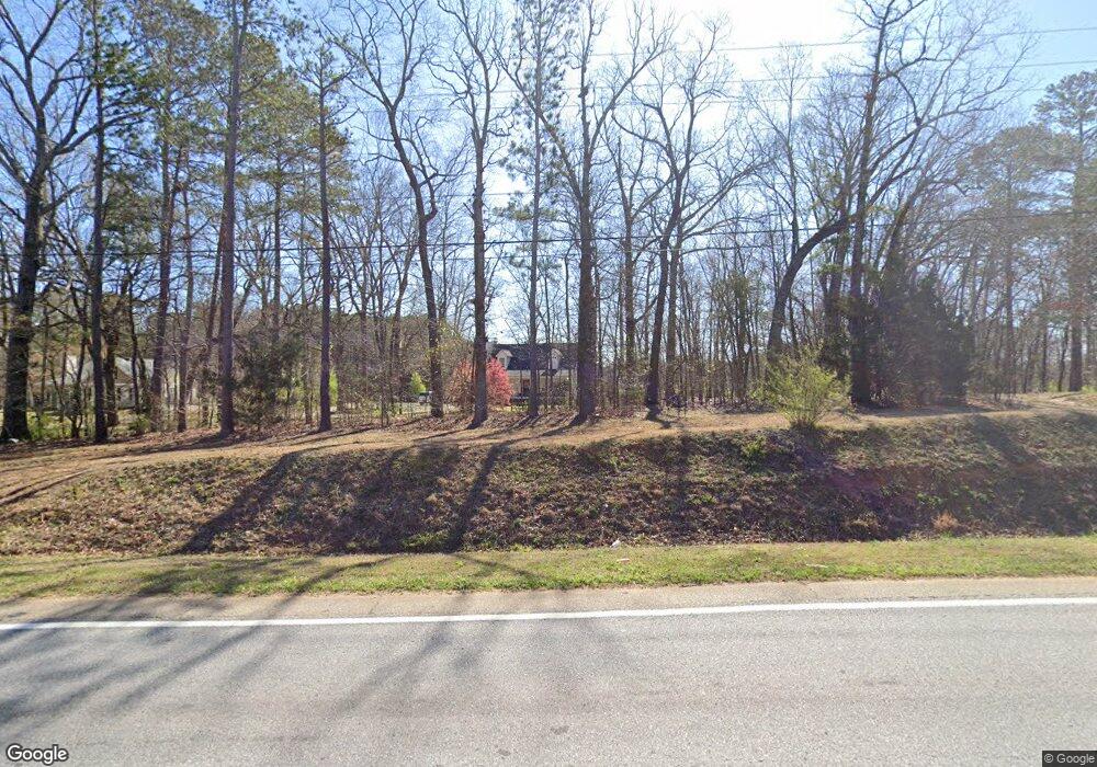
2556 Highway 20 E McDonough, GA 30252
Estimated Value: $292,464 - $303,000
3
Beds
3
Baths
1,640
Sq Ft
$182/Sq Ft
Est. Value
About This Home
This home is located at 2556 Highway 20 E, McDonough, GA 30252 and is currently estimated at $299,116, approximately $182 per square foot. 2556 Highway 20 E is a home located in Henry County with nearby schools including Timber Ridge Elementary School, Union Grove Middle School, and Union Grove High School.
Ownership History
Date
Name
Owned For
Owner Type
Purchase Details
Closed on
Aug 23, 2002
Sold by
Taylor Benjamin W
Bought by
Taylor Benjamin W and Taylor Wendy M
Current Estimated Value
Home Financials for this Owner
Home Financials are based on the most recent Mortgage that was taken out on this home.
Original Mortgage
$96,750
Interest Rate
10.88%
Mortgage Type
New Conventional
Create a Home Valuation Report for This Property
The Home Valuation Report is an in-depth analysis detailing your home's value as well as a comparison with similar homes in the area
Home Values in the Area
Average Home Value in this Area
Purchase History
| Date | Buyer | Sale Price | Title Company |
|---|---|---|---|
| Taylor Benjamin W | -- | -- |
Source: Public Records
Mortgage History
| Date | Status | Borrower | Loan Amount |
|---|---|---|---|
| Previous Owner | Taylor Benjamin W | $96,750 |
Source: Public Records
Tax History Compared to Growth
Tax History
| Year | Tax Paid | Tax Assessment Tax Assessment Total Assessment is a certain percentage of the fair market value that is determined by local assessors to be the total taxable value of land and additions on the property. | Land | Improvement |
|---|---|---|---|---|
| 2025 | $2,972 | $110,680 | $16,560 | $94,120 |
| 2024 | $2,972 | $110,760 | $14,920 | $95,840 |
| 2023 | $2,620 | $112,640 | $14,360 | $98,280 |
| 2022 | $2,593 | $90,160 | $13,240 | $76,920 |
| 2021 | $2,179 | $72,640 | $11,360 | $61,280 |
| 2020 | $1,961 | $63,400 | $10,720 | $52,680 |
| 2019 | $1,904 | $61,000 | $10,160 | $50,840 |
| 2018 | $1,816 | $57,240 | $9,400 | $47,840 |
| 2016 | $1,541 | $46,200 | $7,560 | $38,640 |
| 2015 | $1,441 | $42,720 | $8,480 | $34,240 |
| 2014 | $1,187 | $36,040 | $8,480 | $27,560 |
Source: Public Records
Map
Nearby Homes
- 2550 Highway 20 E
- 121 Harper Rd
- 2772 E Lake Rd
- 381 Country Lake Dr
- 200 Brookview Dr
- 293 Country Lake Dr
- 1209 Persimmon Way
- 745 Country Lake Ct
- 1202 Persimmon Way
- 2194 Highway 20 E
- 2175 Highway 20 E
- 1333 Nickel Oak Bend
- 2140 Airline Rd
- 1442 Swiftwater Cir
- 1098 E Lake Rd
- 322 Delta Dr
- 308 Delta Dr
- Meridian II Plan at Trinity Park
- Clarity Plan at Trinity Park
- Rainier Plan at Trinity Park
- 2600 Highway 20 E
- 2505 Highway 20 E
- 2573 Highway 20 E
- 2577 Highway 20 E
- 2610 Highway 20 E
- 100 Simeon Dr
- 2579 Highway 20 E
- 218 Cobblestone Way
- 212 Cobblestone Way
- 224 Cobblestone Way
- 108 Simeon Dr
- 108 Simeon Dr Unit 1
- 107 Harper Way
- 206 Cobblestone Way
- 105 Harper Way
- 111 Harper Way
- 406 Freedom Dr
- 105 Simeon Dr
- 105 Simeon Dr Unit 1
- 103 Harper Way