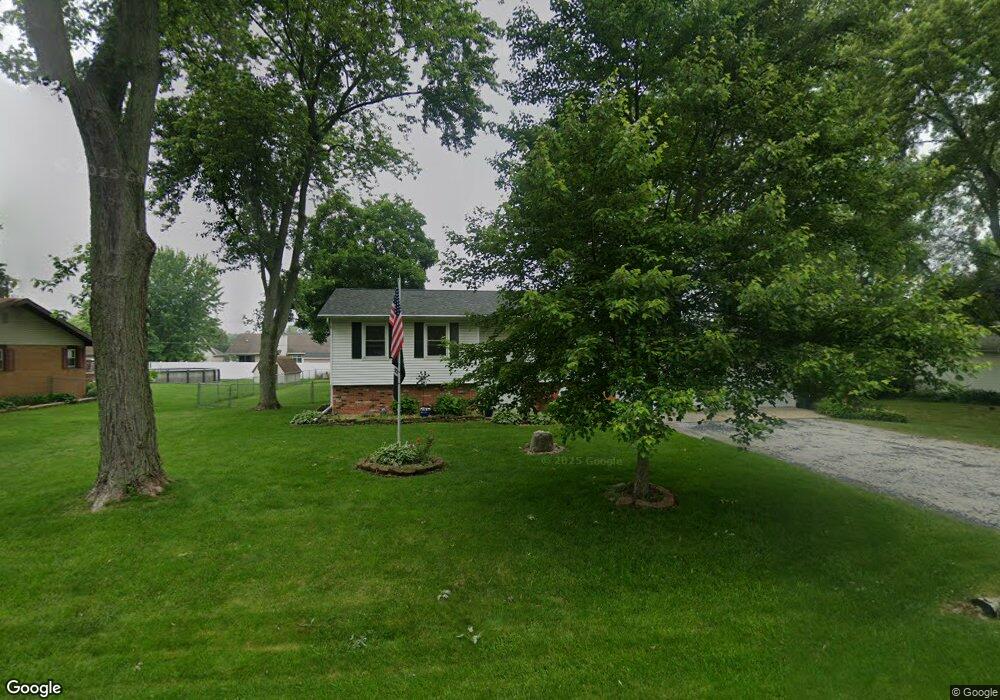
2556 N Osage Dr Bourbonnais, IL 60914
Estimated Value: $207,000 - $255,000
Studio
--
Bath
--
Sq Ft
16,466
Sq Ft
About This Home
This home is located at 2556 N Osage Dr, Bourbonnais, IL 60914 and is currently estimated at $233,910. 2556 N Osage Dr is a home located in Kankakee County with nearby schools including Alan B. Shepard Elementary School, Liberty Intermediate School, and Bourbonnais Upper Grade Center.
Ownership History
Date
Name
Owned For
Owner Type
Purchase Details
Closed on
Jul 1, 2020
Sold by
Lynn Leclair Karen
Bought by
Renehan Karen Lynn and Renehan Kevin Patrick
Current Estimated Value
Purchase Details
Closed on
Aug 22, 2019
Sold by
Leclair Mary C
Bought by
Leclair Karen L
Home Financials for this Owner
Home Financials are based on the most recent Mortgage that was taken out on this home.
Original Mortgage
$114,000
Interest Rate
4%
Mortgage Type
New Conventional
Create a Home Valuation Report for This Property
The Home Valuation Report is an in-depth analysis detailing your home's value as well as a comparison with similar homes in the area
Home Values in the Area
Average Home Value in this Area
Purchase History
| Date | Buyer | Sale Price | Title Company |
|---|---|---|---|
| Renehan Karen Lynn | -- | Renehan Karen Leclair | |
| Leclair Karen L | $120,000 | Homestar Title |
Source: Public Records
Mortgage History
| Date | Status | Borrower | Loan Amount |
|---|---|---|---|
| Previous Owner | Leclair Karen L | $114,000 |
Source: Public Records
Tax History
| Year | Tax Paid | Tax Assessment Tax Assessment Total Assessment is a certain percentage of the fair market value that is determined by local assessors to be the total taxable value of land and additions on the property. | Land | Improvement |
|---|---|---|---|---|
| 2024 | $4,393 | $61,716 | $5,457 | $56,259 |
| 2023 | $3,997 | $57,145 | $5,053 | $52,092 |
| 2022 | $3,719 | $51,615 | $5,974 | $45,641 |
| 2021 | $3,651 | $50,480 | $5,843 | $44,637 |
| 2020 | $3,611 | $49,129 | $5,687 | $43,442 |
| 2019 | $3,002 | $46,470 | $5,521 | $40,949 |
| 2018 | $2,877 | $44,885 | $5,332 | $39,553 |
| 2017 | $2,804 | $43,790 | $5,202 | $38,588 |
| 2016 | $2,679 | $42,398 | $5,125 | $37,273 |
| 2015 | $2,106 | $41,978 | $5,074 | $36,904 |
| 2014 | $2,020 | $44,712 | $5,074 | $39,638 |
| 2013 | -- | $43,618 | $5,074 | $38,544 |
Source: Public Records
Map
Nearby Homes
- 549 Beach Ave
- 310 Barrington Dr
- 1617 Waterford Place
- 284 Barrington Ln
- 1387 Westminster Ln
- 2 Oxford Place
- 3100 Sportsman Club Rd
- 1905 Indian Trail
- 5 Inverness Dr
- 1850 N Stone Creek Rd
- 1785 Indian Trail
- lot Briarcliff Ln
- 1268 Deer Path
- 2008 Indian Trail
- 2777 Stonefence Dr
- 3314 Toulouse
- 2755 Stonefence Dr
- 1402 Indian Trail
- 1420 Indian Trail
- 1418 Indian Trail
- 2568 N Osage Dr
- 2530 N Osage Dr
- 524 Turnberry Dr
- 522 Turnberry Dr
- 526 Turnberry Dr
- 2586 N Osage Dr
- 2518 N Osage Dr
- 2549 N Osage Dr
- 520 Turnberry Dr
- 2529 N Osage Dr
- 2577 N Osage Dr
- 528 Turnberry Dr
- 2517 N Osage Dr
- 2585 N Osage Dr
- 2606 N Osage Dr
- 2490 N Osage Dr
- 521 Turnberry Dr
- 532 Turnberry Dr
- 514 Turnberry Dr
Your Personal Tour Guide
Ask me questions while you tour the home.