2556 Old 179 N Whigham, GA 39897
Estimated Value: $364,000 - $661,000
--
Bed
1
Bath
2,284
Sq Ft
$205/Sq Ft
Est. Value
About This Home
This home is located at 2556 Old 179 N, Whigham, GA 39897 and is currently estimated at $467,498, approximately $204 per square foot. 2556 Old 179 N is a home located in Grady County.
Ownership History
Date
Name
Owned For
Owner Type
Purchase Details
Closed on
Jul 12, 2017
Sold by
Alger John L
Bought by
Whigham Llc
Current Estimated Value
Purchase Details
Closed on
Dec 20, 2005
Sold by
Brinkley Thomas E
Bought by
Alger John L and Alger Carla
Purchase Details
Closed on
Mar 20, 2000
Sold by
Brinkley Thomas E
Bought by
Brinkley Thomas E
Purchase Details
Closed on
May 25, 1999
Sold by
Brinkley Thomas E
Bought by
Brinkley Thomas E
Purchase Details
Closed on
Jun 1, 1992
Bought by
Brinkley Thomas E
Create a Home Valuation Report for This Property
The Home Valuation Report is an in-depth analysis detailing your home's value as well as a comparison with similar homes in the area
Home Values in the Area
Average Home Value in this Area
Purchase History
| Date | Buyer | Sale Price | Title Company |
|---|---|---|---|
| Whigham Llc | -- | -- | |
| Alger John L | $362,000 | -- | |
| Brinkley Thomas E | -- | -- | |
| Brinkley Thomas E | -- | -- | |
| Brinkley Thomas E | -- | -- |
Source: Public Records
Tax History Compared to Growth
Tax History
| Year | Tax Paid | Tax Assessment Tax Assessment Total Assessment is a certain percentage of the fair market value that is determined by local assessors to be the total taxable value of land and additions on the property. | Land | Improvement |
|---|---|---|---|---|
| 2024 | $3,536 | $141,062 | $44,794 | $96,268 |
| 2023 | $2,421 | $104,506 | $41,102 | $63,404 |
| 2022 | $2,410 | $104,506 | $41,102 | $63,404 |
| 2021 | $2,406 | $104,506 | $41,102 | $63,404 |
| 2020 | $2,404 | $104,506 | $41,102 | $63,404 |
| 2019 | $2,393 | $104,506 | $41,102 | $63,404 |
| 2018 | $2,237 | $107,787 | $44,383 | $63,404 |
| 2017 | $2,103 | $107,787 | $44,383 | $63,404 |
| 2016 | $1,838 | $98,184 | $44,383 | $53,801 |
| 2015 | $1,806 | $98,184 | $44,383 | $53,801 |
| 2014 | $1,798 | $98,184 | $44,383 | $53,801 |
| 2013 | -- | $86,541 | $38,261 | $48,280 |
Source: Public Records
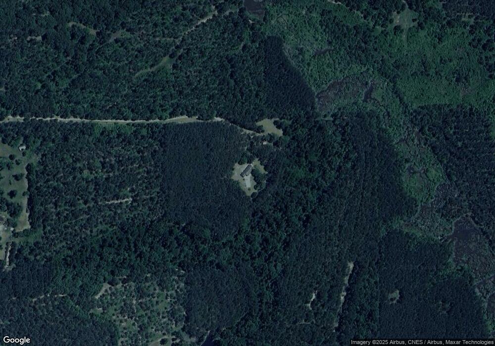
Map
Nearby Homes
- 2033 Old 179 N
- 0 Cal Thomas Rd
- 0 Harrell Rd
- 1741 Georgia 112
- 231 Mcintyre Ln
- 53 +/- A Bond Rd
- 0 Pelham Rd Unit 23706472
- 206 Lodge Ln
- 165 Larkin St
- 189 Sabino Dr
- 0 Eddie Avery Rd Unit 14399
- TBD3 Cumbie Rd
- TBD2 Cumbie Rd
- TBD4 Cumbie Rd
- Tbd Cumbie Rd
- 0 Cumbie Rd
- 547 Eddie Avery Rd
- 267 Providence Rd
- 0 Earl Hester Rd
- 1520 Upper Hawthorne Trail