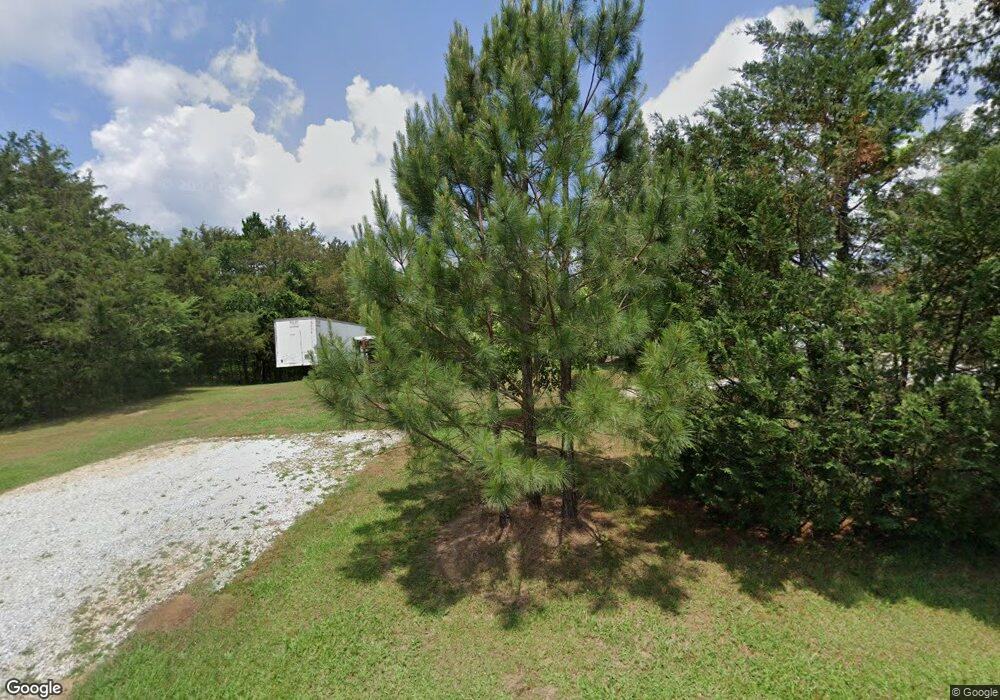
2556 Slay Rd Elberton, GA 30635
Estimated Value: $237,000 - $350,000
--
Bed
2
Baths
1,496
Sq Ft
$197/Sq Ft
Est. Value
About This Home
This home is located at 2556 Slay Rd, Elberton, GA 30635 and is currently estimated at $295,022, approximately $197 per square foot. 2556 Slay Rd is a home located in Elbert County with nearby schools including Elbert County Primary School, Elbert County Elementary School, and Elbert County Middle School.
Ownership History
Date
Name
Owned For
Owner Type
Purchase Details
Closed on
Nov 29, 2011
Sold by
Stanfill Teresa
Bought by
Stanfill Stephen
Current Estimated Value
Purchase Details
Closed on
Aug 24, 2007
Sold by
Thomason Bobby L
Bought by
Stanfill Stephen and Stanfill Teresa
Home Financials for this Owner
Home Financials are based on the most recent Mortgage that was taken out on this home.
Original Mortgage
$233,523
Interest Rate
6.65%
Purchase Details
Closed on
May 10, 2007
Sold by
Thomason Sara Louise
Bought by
Anderson Pamela T and Thomason Bobby L
Purchase Details
Closed on
Apr 4, 2007
Sold by
Smith George Walter
Bought by
Anderson Pamela T
Create a Home Valuation Report for This Property
The Home Valuation Report is an in-depth analysis detailing your home's value as well as a comparison with similar homes in the area
Home Values in the Area
Average Home Value in this Area
Purchase History
| Date | Buyer | Sale Price | Title Company |
|---|---|---|---|
| Stanfill Stephen | -- | -- | |
| Stanfill Stephen | $73,500 | -- | |
| Stanfill Stephen | $73,500 | -- | |
| Anderson Pamela T | -- | -- | |
| Anderson Pamela T | -- | -- | |
| Thomason Bobby L | -- | -- | |
| Scott Martha Jo | -- | -- |
Source: Public Records
Mortgage History
| Date | Status | Borrower | Loan Amount |
|---|---|---|---|
| Previous Owner | Stanfill Stephen | $233,523 |
Source: Public Records
Tax History Compared to Growth
Tax History
| Year | Tax Paid | Tax Assessment Tax Assessment Total Assessment is a certain percentage of the fair market value that is determined by local assessors to be the total taxable value of land and additions on the property. | Land | Improvement |
|---|---|---|---|---|
| 2024 | $1,640 | $98,533 | $36,767 | $61,766 |
| 2023 | $1,635 | $98,533 | $36,767 | $61,766 |
| 2022 | $1,176 | $65,685 | $21,886 | $43,799 |
| 2021 | $1,174 | $65,685 | $21,886 | $43,799 |
| 2020 | $1,085 | $52,804 | $17,508 | $35,296 |
| 2019 | $1,123 | $52,804 | $17,508 | $35,296 |
| 2018 | $1,128 | $52,804 | $17,508 | $35,296 |
| 2017 | $1,150 | $50,783 | $17,508 | $33,275 |
| 2016 | $1,070 | $50,783 | $17,508 | $33,275 |
| 2015 | -- | $50,783 | $17,508 | $33,275 |
| 2014 | -- | $50,783 | $17,508 | $33,275 |
| 2013 | -- | $50,783 | $17,508 | $33,275 |
Source: Public Records
Map
Nearby Homes
- 2709 Washington Hwy
- 1464 Rousey Rd
- 0 Addison Rd
- 2211 Indian Hill Rd
- 1436 Longstreet Rd
- 1709 Bullards Ferry Rd
- 1703 Bullards Ferry Rd
- 0 Cherokee Rd Unit 10576301
- 1863 Mauldin Rd
- 1943 Mauldin Rd
- 1969 Mauldin Rd
- 2021 Wyche Cir
- 0 Lexington Hwy Unit 10565392
- 2291 Calhoun Falls Hwy
- 2688 Calhoun Falls Hwy
- 2914 Cherokee Rd
- 2132 Henry Hill Rd
- 00 Elberton Rd
- 1228 Country Club Rd
- 1530 Country Club Rd
- 0 Slay Rd Unit 7582662
- 0 Slay Rd
- 2571 Slay Rd
- 0000 Slay Rd
- 2589 Slay Rd
- 2452 Slay Rd
- 2420 Slay Rd
- 1927 Sam Tate Rd
- 1915 Sam Tate Rd
- 1759 Sam Tate Rd
- 1948 Sam Tate Rd
- 1879 Sam Tate Rd
- 1950 Sam Tate Rd
- 2729 Washington Hwy
- 2000 Sam Tate Rd
- 2681 Slay Rd
- 2018 Sam Tate Rd
- 2725 Washington Hwy
- 2721 Washington Hwy
- 2717 Washington Hwy
