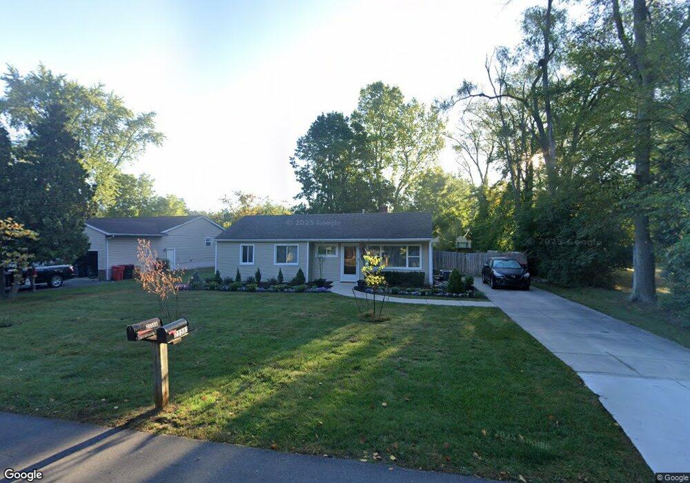
25566 Dunbar St Southfield, MI 48033
Estimated Value: $152,827 - $249,000
--
Bed
1
Bath
1,028
Sq Ft
$195/Sq Ft
Est. Value
About This Home
This home is located at 25566 Dunbar St, Southfield, MI 48033 and is currently estimated at $200,957, approximately $195 per square foot. 25566 Dunbar St is a home located in Oakland County with nearby schools including Morris Adler Elementary School, Glenn W. Levey Middle School, and Laurus Academy.
Ownership History
Date
Name
Owned For
Owner Type
Purchase Details
Closed on
Aug 28, 2001
Sold by
Mitrikeski Drasko
Bought by
Campbell Celesta
Current Estimated Value
Home Financials for this Owner
Home Financials are based on the most recent Mortgage that was taken out on this home.
Original Mortgage
$94,090
Interest Rate
6.8%
Mortgage Type
Purchase Money Mortgage
Purchase Details
Closed on
Dec 8, 1998
Sold by
Evans Gerald L
Bought by
Mitrikeski Drasko
Home Financials for this Owner
Home Financials are based on the most recent Mortgage that was taken out on this home.
Original Mortgage
$66,000
Interest Rate
6.83%
Mortgage Type
Purchase Money Mortgage
Create a Home Valuation Report for This Property
The Home Valuation Report is an in-depth analysis detailing your home's value as well as a comparison with similar homes in the area
Home Values in the Area
Average Home Value in this Area
Purchase History
| Date | Buyer | Sale Price | Title Company |
|---|---|---|---|
| Campbell Celesta | $97,000 | -- | |
| Mitrikeski Drasko | $83,000 | -- |
Source: Public Records
Mortgage History
| Date | Status | Borrower | Loan Amount |
|---|---|---|---|
| Previous Owner | Campbell Celesta | $94,090 | |
| Previous Owner | Mitrikeski Drasko | $66,000 |
Source: Public Records
Tax History Compared to Growth
Tax History
| Year | Tax Paid | Tax Assessment Tax Assessment Total Assessment is a certain percentage of the fair market value that is determined by local assessors to be the total taxable value of land and additions on the property. | Land | Improvement |
|---|---|---|---|---|
| 2022 | $1,599 | $61,880 | $17,480 | $44,400 |
| 2021 | $1,585 | $57,790 | $17,480 | $40,310 |
| 2020 | $1,393 | $51,430 | $15,200 | $36,230 |
| 2018 | $1,641 | $30,700 | $8,500 | $22,200 |
| 2015 | -- | $24,150 | $0 | $0 |
| 2014 | -- | $22,170 | $0 | $0 |
| 2011 | -- | $24,810 | $0 | $0 |
Source: Public Records
Map
Nearby Homes
- 25555 Lahser Rd Unit 15
- 25275 Briarbank Ave
- 25150 Briarbank Ave
- 25160 Lahser Rd
- 24713 Lois Ln
- 24714 Pembrooke Dr
- 25611 Mulroy Dr
- 23409 Ranch Hill Dr W
- 21763 Hidden Rivers Dr N Unit M68
- 23565 Oliver Ct
- 000 Pontiac Trail
- 22465 Kenwyck Dr
- 27249 Nantucket Dr
- 21731 Concord St
- 21901 Concord St
- 21361 Andover Rd
- 20082 Rodeo Ct Unit 8
- 20023 Boardwalk Blvd Unit 281
- 20217 Boardwalk Blvd
- 25476 Saint James
- 25596 Dunbar St
- 22060 Charter St
- 25626 Dunbar St
- 25565 Dunbar St
- 25654 Dunbar St
- 25595 Dunbar St
- 25480 Dunbar St
- 25535 Dunbar St
- 25625 Dunbar St
- 25835 Lahser Rd Unit 7
- 25821 Lahser Rd
- 25821 Lahser Rd
- 25821 Lahser Rd
- 25821 Lahser Rd
- 25831 Lahser Rd
- 25831 Lahser Rd
- 25831 Lahser Rd
- 25831 Lahser Rd
- 25835 Lahser Rd
- 25835 Lahser Rd