Estimated Value: $255,941 - $343,000
3
Beds
1
Bath
1,320
Sq Ft
$220/Sq Ft
Est. Value
About This Home
This home is located at 2557 226th Ln, Logan, IA 51546 and is currently estimated at $290,235, approximately $219 per square foot. 2557 226th Ln is a home located in Harrison County with nearby schools including Logan-Magnolia Elementary School and Logan-Magnolia Junior/Senior High School.
Ownership History
Date
Name
Owned For
Owner Type
Purchase Details
Closed on
Feb 3, 2014
Sold by
Pond Terri and Pond Rosemary
Bought by
Pond Rosemary
Current Estimated Value
Purchase Details
Closed on
Oct 22, 2008
Sold by
Pond Rosemary and Pond Robert V
Bought by
Pond Rosemary
Home Financials for this Owner
Home Financials are based on the most recent Mortgage that was taken out on this home.
Original Mortgage
$56,699
Outstanding Balance
$36,413
Interest Rate
5.73%
Mortgage Type
Purchase Money Mortgage
Estimated Equity
$253,822
Create a Home Valuation Report for This Property
The Home Valuation Report is an in-depth analysis detailing your home's value as well as a comparison with similar homes in the area
Purchase History
| Date | Buyer | Sale Price | Title Company |
|---|---|---|---|
| Pond Rosemary | -- | None Available | |
| Pond Rosemary | -- | None Available |
Source: Public Records
Mortgage History
| Date | Status | Borrower | Loan Amount |
|---|---|---|---|
| Open | Pond Rosemary | $56,699 |
Source: Public Records
Tax History
| Year | Tax Paid | Tax Assessment Tax Assessment Total Assessment is a certain percentage of the fair market value that is determined by local assessors to be the total taxable value of land and additions on the property. | Land | Improvement |
|---|---|---|---|---|
| 2025 | $1,866 | $210,580 | $60,000 | $150,580 |
| 2024 | $1,866 | $179,980 | $50,000 | $129,980 |
| 2023 | $1,674 | $179,980 | $50,000 | $129,980 |
| 2022 | $1,646 | $146,308 | $50,000 | $96,308 |
| 2021 | $1,646 | $146,308 | $50,000 | $96,308 |
| 2020 | $1,728 | $134,401 | $50,000 | $84,401 |
| 2019 | $1,280 | $134,401 | $50,000 | $84,401 |
| 2018 | $1,280 | $93,886 | $0 | $0 |
| 2017 | $1,280 | $93,886 | $0 | $0 |
| 2016 | $1,400 | $93,886 | $0 | $0 |
| 2015 | $1,400 | $84,582 | $0 | $0 |
| 2014 | $1,178 | $84,582 | $0 | $0 |
Source: Public Records
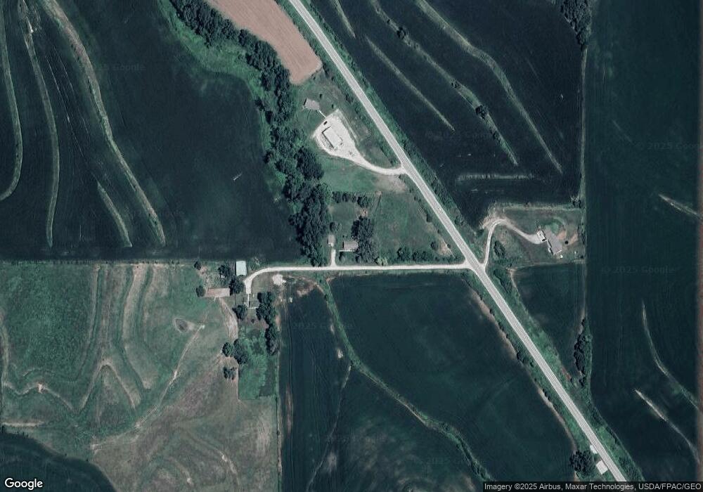
Map
Nearby Homes
- 2144 Norton Ave
- 1010 Skyline Dr
- 120 W 6th St
- 217 N 2nd Ave
- 114 E 10th St
- 2613 Niagara Trail
- Lot 18 Mulligan Trail
- LOT 45 Shadow Hill Estates
- Lot 45 & 45A Shadow Hill Estates
- 1986 Jasper Trail
- LOT 30 Shadow Hill Estates
- LOT 20 Shadow Hill Estates
- LOT 19 Shadow Hill Estates
- LOT 21 Shadow Hill Estates
- LOT 18 Shadow Hill Estates
- LOT 22 Shadow Hill Estates
- LOT 24 Shadow Hill Estates
- LOT 23 Shadow Hill Estates
- 2972 194th St
- LOT 25 Shadow Hill Estates
- 2556 Highway 127
- 2559 Highway 127
- 2527 Highway 127
- 2525 Highway 127
- 2525 Highway 127
- 2567 220th St
- 2585 Highway 127
- 2601 220th St
- 2496 Highway 127
- 2607 220th St
- 2603 230th St
- 2196 Nemaha Ln
- 2171 Newport Ln
- 2611 220th St
- 2649 235th Trail
- 2625 230th St
- 2625 230th St
- 2645 235th Trail
- 2158 Newport Ln
- 2480 Highway 127
Your Personal Tour Guide
Ask me questions while you tour the home.