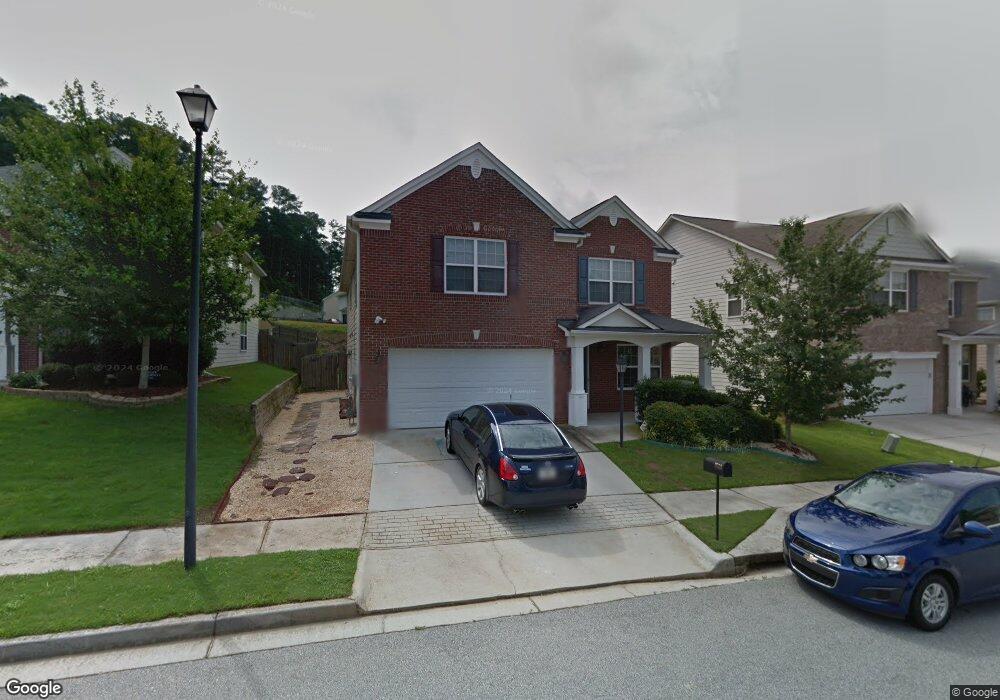
2558 Farmstead Ct Grayson, GA 30017
Estimated Value: $346,000 - $389,000
4
Beds
3
Baths
2,360
Sq Ft
$157/Sq Ft
Est. Value
About This Home
This home is located at 2558 Farmstead Ct, Grayson, GA 30017 and is currently estimated at $371,573, approximately $157 per square foot. 2558 Farmstead Ct is a home located in Gwinnett County with nearby schools including Trip Elementary School, Bay Creek Middle School, and Grayson High School.
Ownership History
Date
Name
Owned For
Owner Type
Purchase Details
Closed on
May 5, 2017
Sold by
Radford David
Bought by
Radford Talina Christine
Current Estimated Value
Purchase Details
Closed on
Jun 28, 2006
Sold by
Colony Homes Llc
Bought by
Radford David
Home Financials for this Owner
Home Financials are based on the most recent Mortgage that was taken out on this home.
Original Mortgage
$223,884
Interest Rate
6.57%
Mortgage Type
FHA
Create a Home Valuation Report for This Property
The Home Valuation Report is an in-depth analysis detailing your home's value as well as a comparison with similar homes in the area
Home Values in the Area
Average Home Value in this Area
Purchase History
| Date | Buyer | Sale Price | Title Company |
|---|---|---|---|
| Radford Talina Christine | -- | -- | |
| Radford David | $225,700 | -- |
Source: Public Records
Mortgage History
| Date | Status | Borrower | Loan Amount |
|---|---|---|---|
| Previous Owner | Radford David | $223,884 |
Source: Public Records
Tax History
| Year | Tax Paid | Tax Assessment Tax Assessment Total Assessment is a certain percentage of the fair market value that is determined by local assessors to be the total taxable value of land and additions on the property. | Land | Improvement |
|---|---|---|---|---|
| 2025 | $5,110 | $161,720 | $30,000 | $131,720 |
| 2024 | $4,950 | $154,680 | $30,000 | $124,680 |
| 2023 | $4,950 | $149,920 | $30,400 | $119,520 |
| 2022 | $3,998 | $124,560 | $22,000 | $102,560 |
| 2021 | $2,949 | $89,920 | $16,800 | $73,120 |
| 2020 | $3,427 | $89,920 | $16,800 | $73,120 |
| 2019 | $2,991 | $78,520 | $15,200 | $63,320 |
| 2018 | $2,719 | $71,000 | $12,000 | $59,000 |
| 2016 | $2,206 | $62,760 | $12,000 | $50,760 |
| 2015 | $2,005 | $57,240 | $9,600 | $47,640 |
| 2014 | -- | $57,240 | $9,600 | $47,640 |
Source: Public Records
Map
Nearby Homes
- 623 Hawthorn Ln
- 1175 Pebble Bend Dr
- 2542 Meadow Pond Trail Unit 2
- 1135 Pebble Bend Dr
- 889 Bramble Way
- 422 Copeland St
- 124 Camry Ln
- 2700 Haynescrest Dr
- 1028 Bramble Way
- 314 Gable Brook Dr SW
- 2542 Haynes Meadow Ct
- 112 Camry Ln
- 1080 Pebble Bend Dr
- 1318 Cascade View Dr Unit 2
- 1205 Mistyhaynes Way
- 1207 Mistyhaynes Way
- 2687 Pointcrest Way
- 1335 Tullifenney Ct SW
- 2810 Cooper Brook Dr
- 2228 Roseberry Ln
- 2568 Farmstead Ct Unit 47
- 2568 Farmstead Ct
- 2548 Farmstead Ct
- 2578 Farmstead Ct
- 2662 Meadow Trace Dr
- 2652 Meadow Trace Dr
- 2538 Farmstead Ct
- 2588 Farmstead Ct
- 2642 Meadow Trace Dr
- 2561 Farmstead Ct
- 2551 Farmstead Ct
- 2571 Farmstead Ct
- 2672 Meadow Trace Dr
- 2541 Farmstead Ct
- 2528 Farmstead Ct Unit 2528
- 2528 Farmstead Ct
- 2528 Farmstead Ct
- 2598 Farmstead Ct
- 2581 Farmstead Ct
- 2632 Meadow Trace Dr
Your Personal Tour Guide
Ask me questions while you tour the home.