25585 E 754 Rd Tahlequah, OK 74464
Estimated Value: $162,000 - $479,000
2
Beds
1
Bath
1,372
Sq Ft
$204/Sq Ft
Est. Value
About This Home
This home is located at 25585 E 754 Rd, Tahlequah, OK 74464 and is currently estimated at $280,450, approximately $204 per square foot. 25585 E 754 Rd is a home located in Cherokee County with nearby schools including Briggs Public School.
Ownership History
Date
Name
Owned For
Owner Type
Purchase Details
Closed on
Dec 15, 2022
Sold by
Warnock Larry
Bought by
Walker Andrew L and Walker Jessica S
Current Estimated Value
Purchase Details
Closed on
Nov 5, 2013
Sold by
Peak William J and Peak Norma J
Bought by
Warnock Larry Gene
Purchase Details
Closed on
Mar 7, 2005
Sold by
Catron Jerry Lee and Catron Nancy Sue
Bought by
Warnock Larry Gene
Purchase Details
Closed on
Jan 10, 2003
Sold by
William Peak
Bought by
Jerry and Nancy Catron
Purchase Details
Closed on
Oct 28, 2002
Sold by
Jerry and Nancy Catron
Bought by
William and Norma Peak
Purchase Details
Closed on
Oct 9, 2002
Sold by
William Peak
Bought by
Jerry and Nancy Catron
Create a Home Valuation Report for This Property
The Home Valuation Report is an in-depth analysis detailing your home's value as well as a comparison with similar homes in the area
Purchase History
| Date | Buyer | Sale Price | Title Company |
|---|---|---|---|
| Walker Andrew L | -- | -- | |
| Warnock Larry Gene | -- | None Available | |
| Warnock Larry Gene | $235,000 | None Available | |
| Jerry | $97,000 | -- | |
| William | -- | -- | |
| Jerry | -- | -- |
Source: Public Records
Tax History
| Year | Tax Paid | Tax Assessment Tax Assessment Total Assessment is a certain percentage of the fair market value that is determined by local assessors to be the total taxable value of land and additions on the property. | Land | Improvement |
|---|---|---|---|---|
| 2025 | $628 | $8,314 | $3,810 | $4,504 |
| 2024 | $583 | $8,072 | $3,699 | $4,373 |
| 2023 | $583 | $7,837 | $1,263 | $6,574 |
| 2022 | $577 | $7,758 | $1,375 | $6,383 |
| 2021 | $516 | $7,532 | $1,335 | $6,197 |
| 2020 | $500 | $7,313 | $1,296 | $6,017 |
| 2019 | $487 | $7,099 | $1,397 | $5,702 |
| 2018 | $478 | $6,894 | $1,357 | $5,537 |
| 2017 | $465 | $6,692 | $1,062 | $5,630 |
| 2016 | $452 | $6,497 | $1,457 | $5,040 |
| 2015 | $369 | $6,307 | $1,604 | $4,703 |
| 2014 | $356 | $6,124 | $1,604 | $4,520 |
Source: Public Records
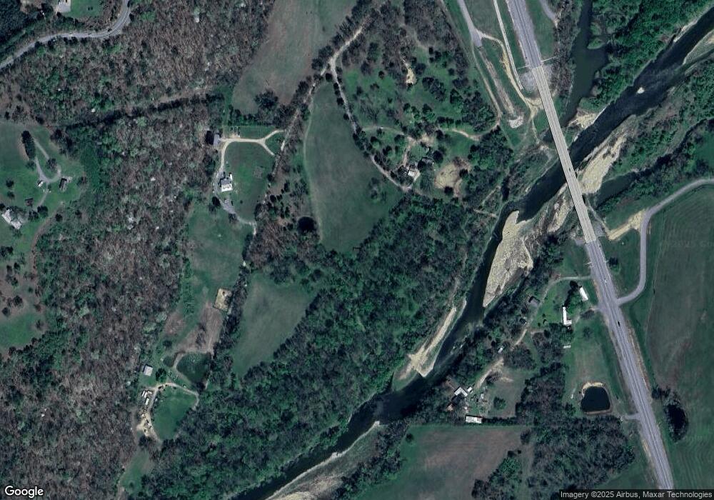
Map
Nearby Homes
- 25302 Oklahoma 51
- 469581 E 815 Rd
- 24536 E Woodland Rd
- 2000 N Sunset Strip
- 26986 Highway 51
- 81134 S 4720 Rd
- 81118 S 4725 Rd
- 78332 S 4760 Rd
- 23244 E 754 Rd
- 0 S Cary Ln
- 461685 E 770 Rd
- 8147 N 544 Rd
- 16399 N 573 Rd
- 000 S 590 Road and 785 Rd E
- 14554 N 603 Rd
- 0000 E Salvation Rd
- 63320 S 4625 Rd
- 26524 E 795 Rd
- 0093 S Acres S (93 Acres) S Welling Rd
- 462548 E 635 Rd
- Rt3 Hwy 51 W Hwy 51 Hwy
- 1092 N Hwy 51 Hwy
- Route 6 W Hwy 51 Hwy
- 770 W Hwy 51 Rd W
- 25957 Highway 51
- 22561 Highway 51
- 25832 E 745 Rd
- 25844 Highway 51
- 25749 Highway 51
- 25363 Highway 51
- 25369 Highway 51
- 25369 Highway 51
- 25372 Highway 51
- 25372 Highway 51
- 25881 E Lane School Rd
- 18282 S 585 Rd
- 25643 Hwy 51
- 25724 E 745 Rd
- 25789 Highway 62
- 17856 S 580 Rd