Estimated Value: $570,000 - $610,000
Studio
--
Bath
--
Sq Ft
5,009
Sq Ft Lot
About This Home
This home is located at 2559 Burns Place, Union, NJ 07083 and is currently estimated at $583,442. 2559 Burns Place is a home located in Union County with nearby schools including Hannah Caldwell Elementary School, Burnet Middle School, and Union High School.
Ownership History
Date
Name
Owned For
Owner Type
Purchase Details
Closed on
Nov 7, 2008
Sold by
Byrne George J
Bought by
Jean Baptiste Barnabas and Jean Baptiste Ketsia
Current Estimated Value
Home Financials for this Owner
Home Financials are based on the most recent Mortgage that was taken out on this home.
Original Mortgage
$312,871
Interest Rate
5.99%
Mortgage Type
FHA
Create a Home Valuation Report for This Property
The Home Valuation Report is an in-depth analysis detailing your home's value as well as a comparison with similar homes in the area
Home Values in the Area
Average Home Value in this Area
Purchase History
| Date | Buyer | Sale Price | Title Company |
|---|---|---|---|
| Jean Baptiste Barnabas | $317,000 | Multiple |
Source: Public Records
Mortgage History
| Date | Status | Borrower | Loan Amount |
|---|---|---|---|
| Previous Owner | Jean Baptiste Barnabas | $312,871 |
Source: Public Records
Tax History
| Year | Tax Paid | Tax Assessment Tax Assessment Total Assessment is a certain percentage of the fair market value that is determined by local assessors to be the total taxable value of land and additions on the property. | Land | Improvement |
|---|---|---|---|---|
| 2025 | $10,728 | $48,000 | $20,000 | $28,000 |
| 2024 | $10,401 | $48,000 | $20,000 | $28,000 |
| 2023 | $10,401 | $48,000 | $20,000 | $28,000 |
| 2022 | $10,040 | $48,000 | $20,000 | $28,000 |
| 2021 | $9,796 | $48,000 | $20,000 | $28,000 |
| 2020 | $9,601 | $48,000 | $20,000 | $28,000 |
| 2019 | $9,472 | $48,000 | $20,000 | $28,000 |
| 2018 | $9,311 | $48,000 | $20,000 | $28,000 |
| 2017 | $9,173 | $48,000 | $20,000 | $28,000 |
| 2016 | $8,949 | $48,000 | $20,000 | $28,000 |
| 2015 | $8,801 | $48,000 | $20,000 | $28,000 |
| 2014 | $8,604 | $48,000 | $20,000 | $28,000 |
Source: Public Records
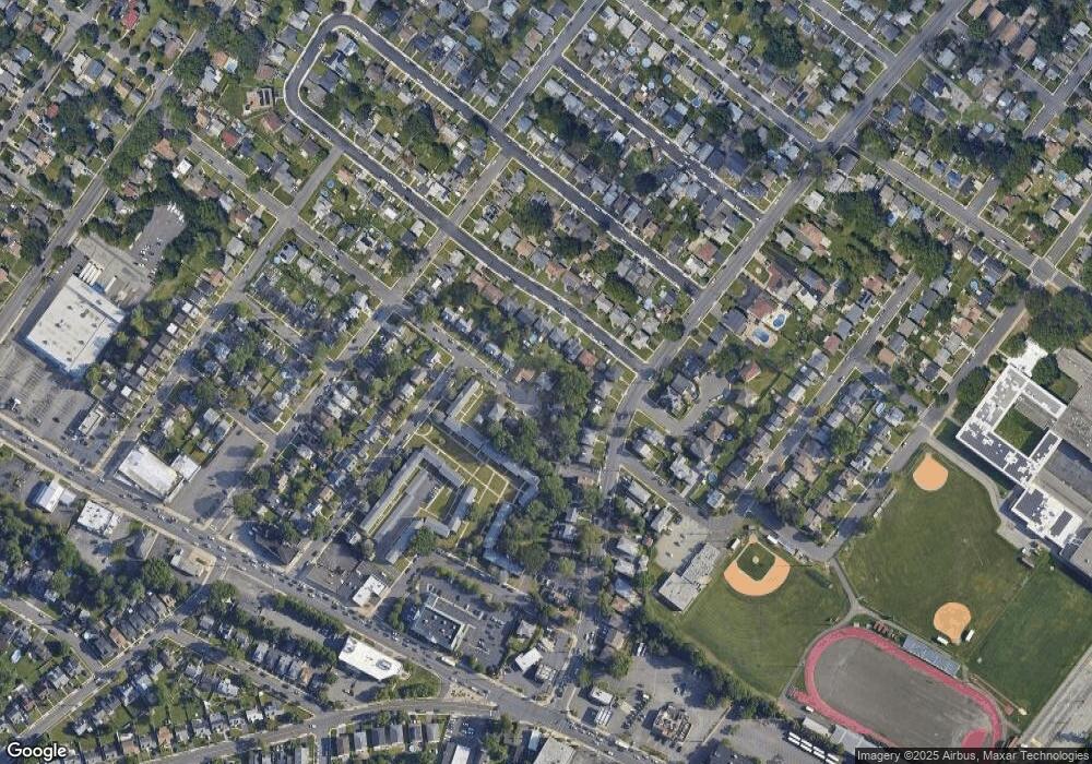
Map
Nearby Homes
- 5 Bashford Ave Unit 5
- 6 Bashford Ave Unit 6
- 2659 Hawthorne Ave
- 1163 Burnet Ave
- 1065 Liberty Ave
- 2620 Eleanor Terrace
- 1239 Rony Rd
- 933 Douglas Terrace
- 2389 Steuben St
- 888 Peach Tree Rd
- 960 Moessner Ave
- 1042 Battle Hill Terrace
- 2785 Larchmont Rd
- 1322 Glendale Place
- 2766 Alice Terrace
- 2853 Allen Ave
- 2670 Bancroft Ave
- 2563 Jackson Ave
- 148 Jockey Hollow Way
- 787 Liberty Ave
- 2565 Burns Place
- 10 Bashford-F
- 10 Bashford-F Unit 10
- 2557 Burns Place
- 2512 Leslie St
- 2508 Leslie St
- 2516 Leslie St
- 1066 Burnet Ave
- 2569 Burns Place
- 1072 Burnet Ave Unit 4
- 2554 Burns Place
- 2520 Leslie St
- 2558 Burns Place
- 2564 Burns Place
- 2564 Burns Place Unit 1
- 2564 Burns Place Unit 2
- 1062 Burnet Ave
- 1076 Burnet Ave Unit 8
- 2573 Burns Place
- 2526 Leslie St
Your Personal Tour Guide
Ask me questions while you tour the home.