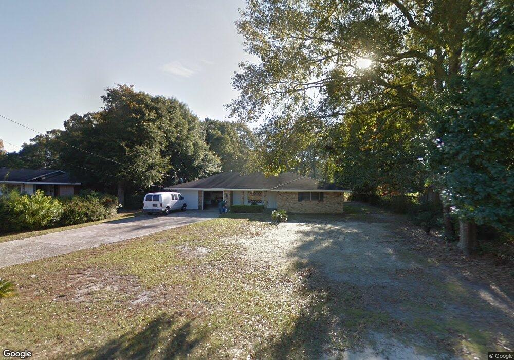
2559 E Daniels Rd Mobile, AL 36605
Neshota NeighborhoodEstimated Value: $162,462 - $252,000
3
Beds
2
Baths
1,737
Sq Ft
$115/Sq Ft
Est. Value
About This Home
This home is located at 2559 E Daniels Rd, Mobile, AL 36605 and is currently estimated at $200,116, approximately $115 per square foot. 2559 E Daniels Rd is a home located in Mobile County with nearby schools including Dr. Robert W. Gilliard Elementary School, Ben C Rain High School, and Revelation Christian School.
Ownership History
Date
Name
Owned For
Owner Type
Purchase Details
Closed on
Nov 24, 1999
Sold by
Mcmillan Winifred M
Bought by
Smith Ella L
Current Estimated Value
Home Financials for this Owner
Home Financials are based on the most recent Mortgage that was taken out on this home.
Original Mortgage
$74,949
Outstanding Balance
$22,026
Interest Rate
7.94%
Mortgage Type
FHA
Estimated Equity
$178,090
Create a Home Valuation Report for This Property
The Home Valuation Report is an in-depth analysis detailing your home's value as well as a comparison with similar homes in the area
Home Values in the Area
Average Home Value in this Area
Purchase History
| Date | Buyer | Sale Price | Title Company |
|---|---|---|---|
| Smith Ella L | -- | -- |
Source: Public Records
Mortgage History
| Date | Status | Borrower | Loan Amount |
|---|---|---|---|
| Open | Smith Ella L | $74,949 | |
| Closed | Smith Ella L | $2,000 |
Source: Public Records
Tax History
| Year | Tax Paid | Tax Assessment Tax Assessment Total Assessment is a certain percentage of the fair market value that is determined by local assessors to be the total taxable value of land and additions on the property. | Land | Improvement |
|---|---|---|---|---|
| 2025 | $766 | $12,950 | $1,700 | $11,250 |
| 2024 | $766 | $12,950 | $1,700 | $11,250 |
| 2023 | $766 | $12,110 | $1,700 | $10,410 |
| 2022 | $690 | $11,910 | $1,500 | $10,410 |
| 2021 | $592 | $10,380 | $1,500 | $8,880 |
| 2020 | $596 | $10,430 | $1,500 | $8,930 |
| 2019 | $544 | $9,610 | $1,500 | $8,110 |
| 2018 | $578 | $10,160 | $0 | $0 |
| 2017 | $578 | $10,160 | $0 | $0 |
| 2016 | $684 | $11,820 | $0 | $0 |
| 2013 | $629 | $10,840 | $0 | $0 |
Source: Public Records
Map
Nearby Homes
- 2637 Robin Hood Dr
- 2467 Dauphin Island Pkwy
- 2374 Willowdale St
- 1715 Gulfdale Dr
- 2315 S Hillwood Dr
- 2204 David Dr
- 2905 Lott Dr
- 2753 S Lartigue Ave
- 2283 Cedar Point Rd
- 1550 N Lartigue Ave
- 1550 S Lartigue Ave
- 3128 Club House Rd
- 1904 Riverside Dr
- 221 Riverbend Dr Unit 221
- 1909 Riverside Dr
- 222 Riverbend Dr
- 301 Riverbend Dr
- 209 Riverbend Dr Unit 209
- 3256 Dauphin Island Pkwy
- 3015 Cedar Crescent Dr
- 2555 E Daniels Rd
- 2563 E Daniels Rd
- 2567 E Daniels Rd
- 2516 Robin Hood Dr
- 2560 E Daniels Rd
- 2512 Robin Hood Dr
- 2556 E Daniels Rd
- 2571 E Daniels Rd
- 2571 E Daniels Rd
- 2522 Robin Hood Dr
- 2505 E Daniels Rd
- 2570 E Daniels Rd
- 2550 E Daniels Rd
- 1867 N Daniels Rd Unit 2
- 2508 Robin Hood Dr
- 2530 Robin Hood Dr
- 2532 S Daniels Rd
- 2000 Archer Ln
- 1859 N Daniels Rd
- 2004 Archer Ln
Your Personal Tour Guide
Ask me questions while you tour the home.