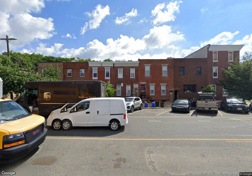
2559 E Lehigh Ave Philadelphia, PA 19125
Port Richmond NeighborhoodEstimated Value: $251,000 - $287,000
3
Beds
1
Bath
1,200
Sq Ft
$224/Sq Ft
Est. Value
About This Home
This home is located at 2559 E Lehigh Ave, Philadelphia, PA 19125 and is currently estimated at $268,748, approximately $223 per square foot. 2559 E Lehigh Ave is a home located in Philadelphia County with nearby schools including Richmond School, Kensington High School, and Kensington Health Sciences Academy.
Ownership History
Date
Name
Owned For
Owner Type
Purchase Details
Closed on
Jun 23, 2010
Sold by
Smith Michael J and Smith Mary
Bought by
Smith Mary
Current Estimated Value
Purchase Details
Closed on
Jul 18, 2000
Sold by
Borcich Robert
Bought by
Smith Michael J and Smith Mary
Home Financials for this Owner
Home Financials are based on the most recent Mortgage that was taken out on this home.
Original Mortgage
$41,520
Interest Rate
8.06%
Mortgage Type
Balloon
Create a Home Valuation Report for This Property
The Home Valuation Report is an in-depth analysis detailing your home's value as well as a comparison with similar homes in the area
Home Values in the Area
Average Home Value in this Area
Purchase History
| Date | Buyer | Sale Price | Title Company |
|---|---|---|---|
| Smith Mary | -- | None Available | |
| Smith Michael J | $51,900 | Commonwealth Land Title Ins |
Source: Public Records
Mortgage History
| Date | Status | Borrower | Loan Amount |
|---|---|---|---|
| Closed | Smith Michael J | $41,520 |
Source: Public Records
Tax History Compared to Growth
Tax History
| Year | Tax Paid | Tax Assessment Tax Assessment Total Assessment is a certain percentage of the fair market value that is determined by local assessors to be the total taxable value of land and additions on the property. | Land | Improvement |
|---|---|---|---|---|
| 2025 | $2,938 | $248,700 | $49,740 | $198,960 |
| 2024 | $2,938 | $248,700 | $49,740 | $198,960 |
| 2023 | $2,938 | $209,900 | $41,980 | $167,920 |
| 2022 | $1,407 | $164,900 | $41,980 | $122,920 |
| 2021 | $2,037 | $0 | $0 | $0 |
| 2020 | $2,037 | $0 | $0 | $0 |
| 2019 | $1,891 | $0 | $0 | $0 |
| 2018 | $1,179 | $0 | $0 | $0 |
| 2017 | $1,599 | $0 | $0 | $0 |
| 2016 | $1,179 | $0 | $0 | $0 |
| 2015 | $1,128 | $0 | $0 | $0 |
| 2014 | -- | $114,200 | $12,780 | $101,420 |
| 2012 | -- | $12,640 | $2,529 | $10,111 |
Source: Public Records
Map
Nearby Homes
- 2565 E Lehigh Ave
- 2671 Almond St
- 2663 Livingston St
- 2664 Mercer St
- 2717 Webb St
- 2714 Edgemont St
- 2639 Mercer St
- 2509 E Oakdale St
- 2726 Edgemont St
- 2671 Webb St
- 2669 Webb St
- 2624 Almond St
- 2614 E Somerset St
- 2622 Almond St
- 2675 Edgemont St
- 2730 Tilton St
- 2626 E Somerset St
- 2615 E Harold St Unit 5
- 2612 E Thompson St
- 2630 E Harold St
- 2561 E Lehigh Ave
- 2557 E Lehigh Ave
- 2563 E Lehigh Ave
- 2555 E Lehigh Ave
- 2709 Livingston St
- 2553 E Lehigh Ave
- 2712 Almond St
- 2713 Livingston St
- 2714 Almond St
- 2601 E Lehigh Ave
- 2715 Livingston St
- 2551 E Lehigh Ave
- 2716 Almond St
- 2603 E Lehigh Ave
- 2549 E Lehigh Ave
- 2702 Livingston St
- 2704 Livingston St
- 2713 Almond St
- 2605 E Lehigh Ave
- 2547 E Lehigh Ave