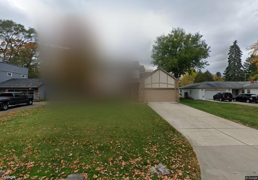
25599 Briarbank Ave Southfield, MI 48033
Estimated Value: $318,000 - $336,000
3
Beds
3
Baths
1,762
Sq Ft
$185/Sq Ft
Est. Value
About This Home
This home is located at 25599 Briarbank Ave, Southfield, MI 48033 and is currently estimated at $325,685, approximately $184 per square foot. 25599 Briarbank Ave is a home located in Oakland County with nearby schools including Morris Adler Elementary School, Glenn W. Levey Middle School, and Faxon Academy.
Ownership History
Date
Name
Owned For
Owner Type
Purchase Details
Closed on
Sep 13, 2006
Sold by
Cureau Alfred J
Bought by
The Cureau Living Trust
Current Estimated Value
Purchase Details
Closed on
Nov 7, 2000
Sold by
Ekus Jason
Bought by
Cureau A
Home Financials for this Owner
Home Financials are based on the most recent Mortgage that was taken out on this home.
Original Mortgage
$199,000
Interest Rate
7.87%
Mortgage Type
Purchase Money Mortgage
Purchase Details
Closed on
Nov 3, 1999
Sold by
Gordon Ann
Bought by
Ekus Jason
Create a Home Valuation Report for This Property
The Home Valuation Report is an in-depth analysis detailing your home's value as well as a comparison with similar homes in the area
Home Values in the Area
Average Home Value in this Area
Purchase History
| Date | Buyer | Sale Price | Title Company |
|---|---|---|---|
| The Cureau Living Trust | -- | None Available | |
| Cureau A | -- | -- | |
| Ekus Jason | $39,000 | -- |
Source: Public Records
Mortgage History
| Date | Status | Borrower | Loan Amount |
|---|---|---|---|
| Previous Owner | Cureau A | $199,000 |
Source: Public Records
Tax History Compared to Growth
Tax History
| Year | Tax Paid | Tax Assessment Tax Assessment Total Assessment is a certain percentage of the fair market value that is determined by local assessors to be the total taxable value of land and additions on the property. | Land | Improvement |
|---|---|---|---|---|
| 2022 | $2,950 | $125,710 | $17,480 | $108,230 |
| 2021 | $3,132 | $115,590 | $17,480 | $98,110 |
| 2020 | $2,709 | $104,750 | $15,200 | $89,550 |
| 2018 | $3,216 | $65,720 | $8,500 | $57,220 |
| 2015 | -- | $49,200 | $0 | $0 |
| 2014 | -- | $49,240 | $0 | $0 |
| 2011 | -- | $49,500 | $0 | $0 |
Source: Public Records
Map
Nearby Homes
- 25725 Dunbar St
- 25150 Briarbank Ave
- 25555 Lahser Rd Unit 15
- 25665 Lahser Rd
- 25160 Lahser Rd
- 24714 Pembrooke Dr
- 24390 Green Valley St
- 23773 Clarkson St
- 23409 Ranch Hill Dr W
- 23565 Oliver Ct
- 21763 Hidden Rivers Dr N Unit M68
- 22465 Kenwyck Dr
- 27021 Nantucket Ct
- 5000 S Civic Center Dr W Unit Ste 1302
- 23588 Lahser Rd
- 21731 Concord St
- 21697 Mcclung Ave
- 21361 Andover Rd
- 21963 Deer Brook Dr Unit 1
- 21955 Deer Brook Dr Unit 3
- 25639 Briarbank Ave
- 25555 Briarbank Ave
- 25660 Code Rd
- 22470 Charter St
- 25679 Briarbank Ave
- 25670 Code Rd
- 25525 Briarbank Ave
- 25680 Code Rd
- 25690 Code Rd
- 25600 Briarbank Ave
- 25761 Briarbank Ave
- 25544 Briarbank Ave Unit Bldg-Unit
- 25544 Briarbank Ave
- 25700 Code Rd
- 25640 Briarbank Ave
- 22324 Charter St
- 25704 Briarbank Ave
- 25801 Briarbank Ave
- 25720 Code Rd
- 25280 Code Rd