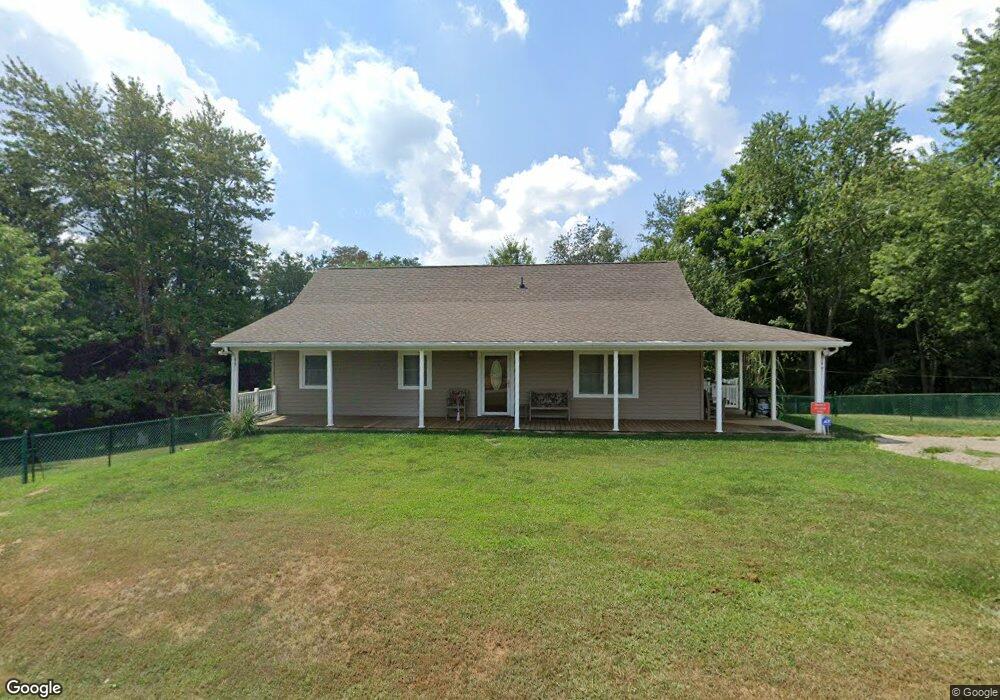
256 Anderson Ln Weirton, WV 26062
Estimated Value: $161,000 - $198,000
2
Beds
2
Baths
1,316
Sq Ft
$137/Sq Ft
Est. Value
About This Home
This home is located at 256 Anderson Ln, Weirton, WV 26062 and is currently estimated at $180,175, approximately $136 per square foot. 256 Anderson Ln is a home located in Hancock County.
Ownership History
Date
Name
Owned For
Owner Type
Purchase Details
Closed on
Jun 25, 2009
Sold by
Stewart Terry L and Stewart Nancy L
Bought by
Stewart Terry L and Stewart Nancy L
Current Estimated Value
Purchase Details
Closed on
Jul 19, 2006
Sold by
Grimm Pride Dewayne
Bought by
Stewart Terry L and Stewart Nancy L
Home Financials for this Owner
Home Financials are based on the most recent Mortgage that was taken out on this home.
Original Mortgage
$133,900
Interest Rate
6.7%
Mortgage Type
New Conventional
Create a Home Valuation Report for This Property
The Home Valuation Report is an in-depth analysis detailing your home's value as well as a comparison with similar homes in the area
Home Values in the Area
Average Home Value in this Area
Purchase History
| Date | Buyer | Sale Price | Title Company |
|---|---|---|---|
| Stewart Terry L | -- | None Available | |
| Stewart Terry L | -- | None Available |
Source: Public Records
Mortgage History
| Date | Status | Borrower | Loan Amount |
|---|---|---|---|
| Closed | Stewart Terry L | $133,900 |
Source: Public Records
Tax History Compared to Growth
Tax History
| Year | Tax Paid | Tax Assessment Tax Assessment Total Assessment is a certain percentage of the fair market value that is determined by local assessors to be the total taxable value of land and additions on the property. | Land | Improvement |
|---|---|---|---|---|
| 2024 | $558 | $60,060 | $17,460 | $42,600 |
| 2023 | $511 | $58,920 | $16,320 | $42,600 |
| 2022 | $505 | $58,920 | $16,320 | $42,600 |
| 2021 | $489 | $57,540 | $16,020 | $41,520 |
| 2020 | $459 | $55,380 | $15,540 | $39,840 |
| 2019 | $443 | $53,640 | $14,940 | $38,700 |
| 2018 | $416 | $51,480 | $13,860 | $37,620 |
| 2017 | $391 | $49,260 | $13,140 | $36,120 |
| 2016 | $649 | $48,660 | $12,540 | $36,120 |
| 2015 | $562 | $46,080 | $11,820 | $34,260 |
| 2014 | $562 | $43,200 | $11,460 | $31,740 |
Source: Public Records
Map
Nearby Homes
- TBD Anderson Ln
- TBD Bryden Rd
- 230 Bryden Rd
- 4878 Wylie Ridge Rd
- 0 Holberts Run Rd
- 2224 Hudson Hill Rd
- 953 Shady Glen Rd
- 2364 Hudson Hill Rd
- 0 Wagner Way
- 499 Finance Rd
- 0 Wylie Ridge Rd Unit 5134114
- 125 Meadowood Dr
- 843 Rainey Hill Rd
- 131 Theresa Dr
- 73 Hemlock Ln
- 268 Kingsview Dr
- 51 Hudson Hill Rd
- 298 Chapman Rd
- 138 Marsha St
- 214 Basil Dr
- 200 Anderson Ln
- 296 Anderson Ln
- 152 Anderson Ln
- 77 Anderson Ln
- 268 Gaston Rd
- 268 Gaston Rd
- 268 Gaston Rd
- 268 Gaston Rd
- 268 Gaston Rd
- 259 Gaston Rd
- 88 Anderson Ln
- 0 Gaston Rd
- 72 Anderson Ln
- 58 Anderson Ln
- 3454 Wylie Ridge Rd
- 3402 Wylie Ridge Rd
- 3580 Wylie Ridge Rd
- 3482 Wylie Ridge Rd
- 33 Piper Ln
- 40 Anderson Ln