256 Bartlett Rd Plymouth, MA 02360
Estimated Value: $585,000 - $840,000
3
Beds
3
Baths
1,680
Sq Ft
$414/Sq Ft
Est. Value
About This Home
This home is located at 256 Bartlett Rd, Plymouth, MA 02360 and is currently estimated at $695,602, approximately $414 per square foot. 256 Bartlett Rd is a home located in Plymouth County with nearby schools including Manomet Elementary School, Plymouth Community Intermediate, and Plymouth North High School.
Ownership History
Date
Name
Owned For
Owner Type
Purchase Details
Closed on
Mar 31, 2017
Sold by
Canniff Patricia M
Bought by
Patricia M Canniff Rt and Canniff
Current Estimated Value
Purchase Details
Closed on
Aug 16, 1993
Sold by
Colletti Guy F
Bought by
Canniff William S and Canniff Patricia M
Home Financials for this Owner
Home Financials are based on the most recent Mortgage that was taken out on this home.
Original Mortgage
$40,000
Interest Rate
7.16%
Mortgage Type
Purchase Money Mortgage
Create a Home Valuation Report for This Property
The Home Valuation Report is an in-depth analysis detailing your home's value as well as a comparison with similar homes in the area
Home Values in the Area
Average Home Value in this Area
Purchase History
| Date | Buyer | Sale Price | Title Company |
|---|---|---|---|
| Patricia M Canniff Rt | -- | -- | |
| Canniff William S | $58,000 | -- | |
| Canniff William S | $58,000 | -- |
Source: Public Records
Mortgage History
| Date | Status | Borrower | Loan Amount |
|---|---|---|---|
| Previous Owner | Canniff William S | $250,000 | |
| Previous Owner | Canniff William S | $40,000 |
Source: Public Records
Tax History Compared to Growth
Tax History
| Year | Tax Paid | Tax Assessment Tax Assessment Total Assessment is a certain percentage of the fair market value that is determined by local assessors to be the total taxable value of land and additions on the property. | Land | Improvement |
|---|---|---|---|---|
| 2025 | $7,419 | $584,600 | $301,600 | $283,000 |
| 2024 | $6,969 | $541,500 | $275,000 | $266,500 |
| 2023 | $6,754 | $492,600 | $247,800 | $244,800 |
| 2022 | $6,494 | $420,900 | $233,500 | $187,400 |
| 2021 | $6,521 | $403,500 | $233,500 | $170,000 |
| 2020 | $6,251 | $382,300 | $212,500 | $169,800 |
| 2019 | $6,108 | $369,300 | $198,500 | $170,800 |
| 2018 | $5,708 | $346,800 | $184,500 | $162,300 |
| 2017 | $5,435 | $327,800 | $184,500 | $143,300 |
| 2016 | $5,120 | $314,700 | $170,500 | $144,200 |
| 2015 | $4,794 | $308,500 | $163,500 | $145,000 |
| 2014 | $4,601 | $304,100 | $163,500 | $140,600 |
Source: Public Records
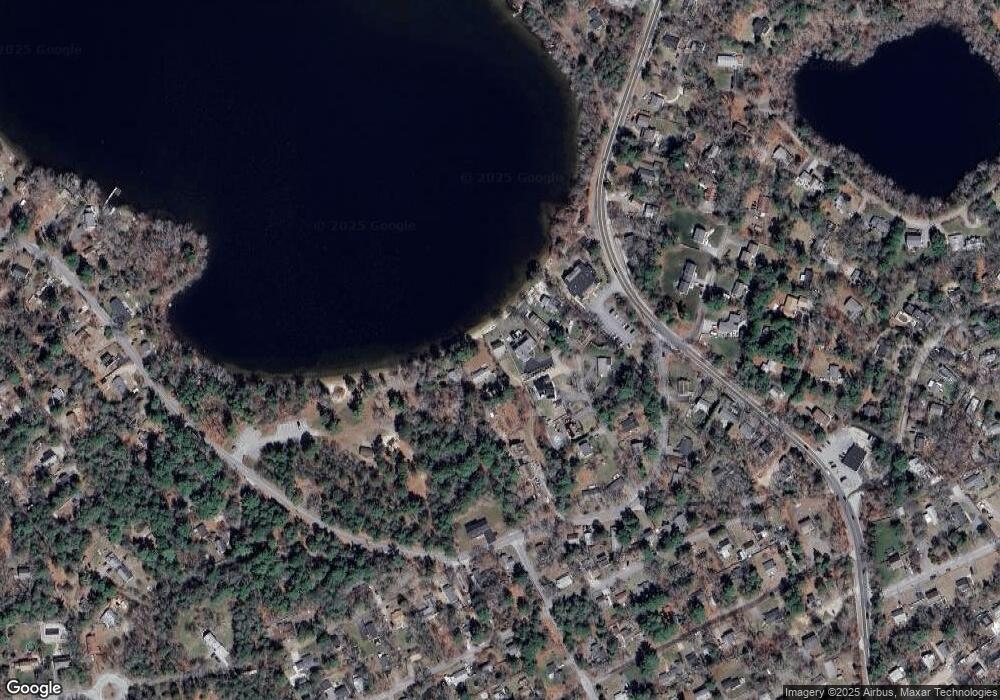
Map
Nearby Homes
- 881 State Rd
- 11 April Way
- 32 Ray Rd
- 61 Crescent Ave
- 3 Hiawatha Rd
- 84 Bartlett Rd
- 115 Andrews Way
- 39 Miter Dr Unit 8-1
- 24 Drum Dr Unit 24
- 22 Presidents Ln
- 90 Miter Dr Unit 1-3
- 91 Miter Dr Unit 18-1
- The Hickory Plan at Alden's Reach - Attached & Detached Single Family Homes
- 91 Miter Dr Unit 3-2
- The Spruce Plan at Alden's Reach - Attached & Detached Single Family Homes
- The Pine Plan at Alden's Reach - Attached & Detached Single Family Homes
- 91 Miter Dr Unit 25-2
- 91 Miter Dr Unit 18-2
- 91 Miter Dr Unit 16-3
- The Oak Plan at Alden's Reach - Attached & Detached Single Family Homes
- 20 Chapman Ln
- 252 Bartlett Rd
- 21 Chapman Ln
- 250 Bartlett Rd
- 250 Bartlett Rd Unit 1
- 250 Bartlett Rd Unit Winter rent
- 250 Bartlett Road Winter Rental Unit Winter rent
- 18 Chapman Ln
- 19 Chapman Ln
- 949 State Rd Unit 206
- 949 State Rd Unit 203
- 949 State Rd Unit 202
- 949 State Rd Unit 105
- 949 State Rd Unit 5-9
- 949 State Rd Unit 305
- 949 State Rd Unit 205
- 949 State Rd
- 949 State Rd Unit 101
- 949 State Rd Unit 103
- 949 State Rd Unit 204