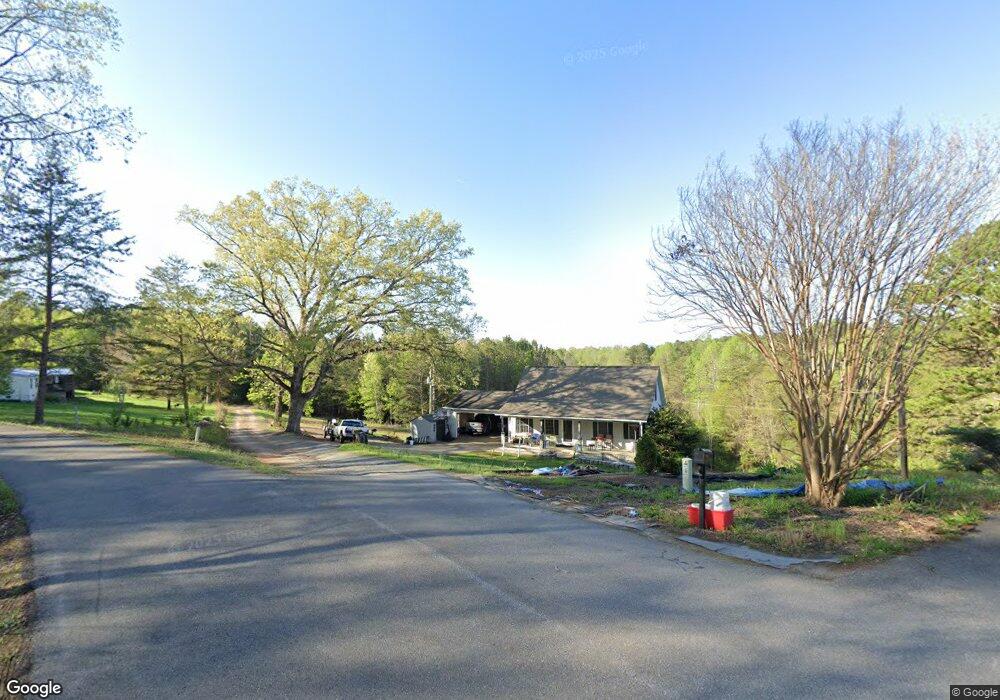
256 Basin Trail Rutherfordton, NC 28139
Estimated Value: $361,000 - $375,000
3
Beds
3
Baths
1,702
Sq Ft
$215/Sq Ft
Est. Value
About This Home
This home is located at 256 Basin Trail, Rutherfordton, NC 28139 and is currently estimated at $366,770, approximately $215 per square foot. 256 Basin Trail is a home located in Rutherford County with nearby schools including Rutherfordton Elementary School, R.S. Middle School, and R-S Central High School.
Ownership History
Date
Name
Owned For
Owner Type
Purchase Details
Closed on
Sep 9, 2008
Sold by
Morrow Jerry and Morrow Frances
Bought by
Wells Murray Cornelius Trent and Wells Murray Cisily A
Current Estimated Value
Home Financials for this Owner
Home Financials are based on the most recent Mortgage that was taken out on this home.
Original Mortgage
$141,300
Outstanding Balance
$85,667
Interest Rate
4.75%
Mortgage Type
New Conventional
Estimated Equity
$281,103
Create a Home Valuation Report for This Property
The Home Valuation Report is an in-depth analysis detailing your home's value as well as a comparison with similar homes in the area
Home Values in the Area
Average Home Value in this Area
Purchase History
| Date | Buyer | Sale Price | Title Company |
|---|---|---|---|
| Wells Murray Cornelius Trent | $157,000 | None Available |
Source: Public Records
Mortgage History
| Date | Status | Borrower | Loan Amount |
|---|---|---|---|
| Open | Wells Murray Cornelius Trent | $141,300 |
Source: Public Records
Tax History Compared to Growth
Tax History
| Year | Tax Paid | Tax Assessment Tax Assessment Total Assessment is a certain percentage of the fair market value that is determined by local assessors to be the total taxable value of land and additions on the property. | Land | Improvement |
|---|---|---|---|---|
| 2025 | $1,919 | $298,600 | $25,400 | $273,200 |
| 2024 | $1,849 | $298,600 | $25,400 | $273,200 |
| 2023 | $1,471 | $298,600 | $25,400 | $273,200 |
| 2022 | $1,471 | $186,200 | $17,800 | $168,400 |
| 2021 | $1,466 | $186,200 | $17,800 | $168,400 |
| 2020 | $1,466 | $186,200 | $17,800 | $168,400 |
| 2019 | $1,458 | $186,200 | $17,800 | $168,400 |
| 2018 | $1,318 | $168,700 | $17,700 | $151,000 |
| 2016 | $1,296 | $168,700 | $17,700 | $151,000 |
| 2013 | -- | $168,700 | $17,700 | $151,000 |
Source: Public Records
Map
Nearby Homes
- 124 Blue Ridge Dr
- 0 Talia Dr Unit 4 CAR3897801
- 201 Fleming Dr
- 000 Thompson Rd
- <1AC Thompson Rd
- 00 Thompson Rd
- 0 Cross Creek Dr Unit 261 CAR4231323
- 0 Cross Creek Dr Unit 67 CAR4272789
- 0 Cross Creek Dr Unit 277
- 0 Cross Creek Dr Unit 136A CAR4219953
- 0 Cross Creek Dr Unit 68 CAR4209838
- 134 Moriah Dr
- 0 Broyhill Rd
- 00 Creekside Cir
- 00 Creekside Cir Unit 95
- 00 Creekside Cir Unit 94
- TBD Cross Creek Dr Unit 140
- 0 Thompson Rd
- 160 Northridge Dr
- 0000 Creekside Cir Unit 135
- 236 Basin Trail
- 224 Basin Trail
- 247 Basin Trail
- 189 Basin Trail
- 226 Basin Trail
- 170 Blue Ridge Dr
- Lot 209 Clearwater Pkwy
- Lot 33 Clearwater Pkwy
- Lots 30 & 31 Clearwater Pkwy
- Lot 201 Clearwater Pkwy
- 130 Clearwater Pkwy Unit 238
- 201 Clearwater Pkwy
- 181 Clearwater Pkwy
- 198 Clearwater Pkwy
- 160 Blue Ridge Dr
- 0 Talia Dr Unit (Lot 4)
- 167 Blue Ridge Dr
- 145 Clearwater Pkwy
- 263 Clearwater Pkwy
- 128 Talia Dr