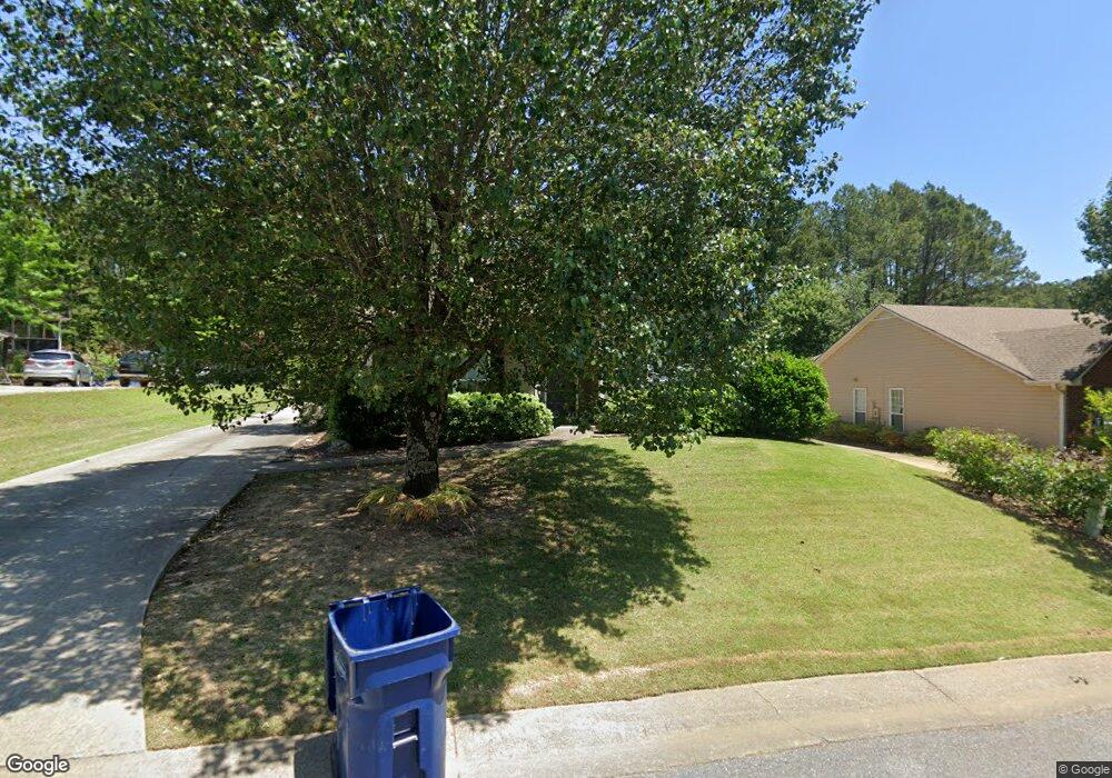
256 Brentwood Dr Alabaster, AL 35007
Estimated Value: $279,993 - $298,000
--
Bed
1
Bath
1,713
Sq Ft
$170/Sq Ft
Est. Value
About This Home
This home is located at 256 Brentwood Dr, Alabaster, AL 35007 and is currently estimated at $290,998, approximately $169 per square foot. 256 Brentwood Dr is a home located in Shelby County with nearby schools including Thompson Intermediate School, Thompson Middle School, and Thompson High School.
Ownership History
Date
Name
Owned For
Owner Type
Purchase Details
Closed on
Jun 20, 2016
Sold by
Strickland William C and Hopkins Susan
Bought by
Ogles Michael G
Current Estimated Value
Home Financials for this Owner
Home Financials are based on the most recent Mortgage that was taken out on this home.
Original Mortgage
$171,830
Outstanding Balance
$135,859
Interest Rate
3.37%
Mortgage Type
FHA
Estimated Equity
$155,139
Purchase Details
Closed on
Jun 5, 1998
Sold by
Strickland Dawn S
Bought by
Strickland William C
Home Financials for this Owner
Home Financials are based on the most recent Mortgage that was taken out on this home.
Original Mortgage
$19,500
Interest Rate
7.14%
Create a Home Valuation Report for This Property
The Home Valuation Report is an in-depth analysis detailing your home's value as well as a comparison with similar homes in the area
Home Values in the Area
Average Home Value in this Area
Purchase History
| Date | Buyer | Sale Price | Title Company |
|---|---|---|---|
| Ogles Michael G | $175,000 | None Available | |
| Strickland William C | -- | -- |
Source: Public Records
Mortgage History
| Date | Status | Borrower | Loan Amount |
|---|---|---|---|
| Open | Ogles Michael G | $171,830 | |
| Previous Owner | Strickland William C | $19,500 |
Source: Public Records
Tax History Compared to Growth
Tax History
| Year | Tax Paid | Tax Assessment Tax Assessment Total Assessment is a certain percentage of the fair market value that is determined by local assessors to be the total taxable value of land and additions on the property. | Land | Improvement |
|---|---|---|---|---|
| 2024 | $1,250 | $23,140 | $0 | $0 |
| 2023 | $1,136 | $21,800 | $0 | $0 |
| 2022 | $1,037 | $19,960 | $0 | $0 |
| 2021 | $948 | $18,320 | $0 | $0 |
| 2020 | $883 | $17,120 | $0 | $0 |
| 2019 | $854 | $16,580 | $0 | $0 |
| 2017 | $794 | $15,460 | $0 | $0 |
| 2015 | $766 | $14,940 | $0 | $0 |
| 2014 | $748 | $14,620 | $0 | $0 |
Source: Public Records
Map
Nearby Homes
- 108 Brent Way
- 104 Brent Way
- 176 Glen Abbey Way
- 264 Warwick Ln
- 259 Warwick Ln
- 131 Chandler Dr
- 136 Glen Abbey Way
- 104 Creden Place
- 608 Treymoor Lake Cir
- 116 Treymoor Dr
- 644 Treymoor Lake Cir
- 0 Simmsville Rd Unit 2 Parcels 21400316
- 0 Simmsville Rd Unit 1326397
- 137 Broadmoor Ln
- 153 Reese Dr
- 0002 Highway 68 Unit 2
- 135 2nd Ave NE
- 133 Windsor Cir
- 3 Oakmont Dr Unit 3
- 2 Oakmont Dr Unit 2
- 260 Brentwood Dr
- 252 Brentwood Dr
- 105 Brent Way
- 110 Brentwood Ln
- 264 Brentwood Dr
- 263 Brentwood Dr
- 249 Brentwood Dr
- 101 Brent Way
- 129 Brent Way
- 237 Brentwood Dr
- 133 Brent Way
- 116 Brent Way
- 100 Brent Way
- 112 Brent Way
- 120 Brent Way
- 204 Brentwood Dr
- 124 Brent Way
- 208 Brentwood Dr
- 220 Brentwood Dr
- 233 Brentwood Dr