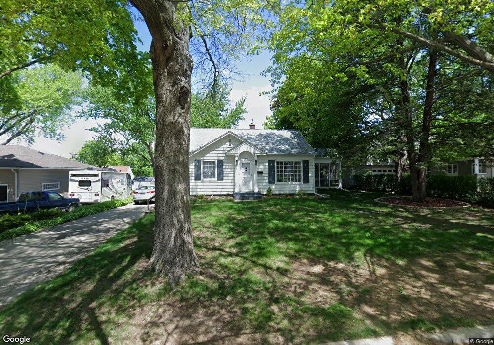
256 Byrnbrae St Waterloo, IA 50701
Estimated Value: $147,000 - $176,000
About This Home
This home is located at 256 Byrnbrae St, Waterloo, IA 50701 and is currently estimated at $164,430, approximately $183 per square foot. 256 Byrnbrae St is a home located in Black Hawk County with nearby schools including Kingsley Elementary School, Hoover Middle School, and West High School.
Ownership History
We collect this data history from publicly available records. To have your information removed, we recommend requesting removal directly through your county’s website.
Purchase Details
Home Financials for this Owner
Home Financials are based on the most recent Mortgage that was taken out on this home.Purchase History
We collect this data history from publicly available records. To have your information removed, we recommend requesting removal directly through your county’s website.
| Date | Buyer | Sale Price | Title Company |
|---|---|---|---|
| -- | None Available |
Mortgage History
We collect this data history from publicly available records. To have your information removed, we recommend requesting removal directly through your county’s website.
| Date | Status | Borrower | Loan Amount |
|---|---|---|---|
| Open | $85,500 |
Tax History
We collect this data history from publicly available records. To have your information removed, we recommend requesting removal directly through your county’s website.
| Year | Tax Paid | Tax Assessment Tax Assessment Total Assessment is a certain percentage of the fair market value that is determined by local assessors to be the total taxable value of land and additions on the property. | Land | Improvement |
|---|---|---|---|---|
| 2025 | $2,576 | $146,060 | $22,500 | $123,560 |
| 2024 | $2,576 | $128,970 | $22,500 | $106,470 |
| 2023 | $2,012 | $128,970 | $22,500 | $106,470 |
| 2022 | $1,956 | $100,460 | $22,500 | $77,960 |
| 2021 | $2,080 | $100,460 | $22,500 | $77,960 |
| 2020 | $2,042 | $100,460 | $22,500 | $77,960 |
| 2019 | $2,042 | $100,460 | $22,500 | $77,960 |
| 2018 | $2,240 | $100,460 | $22,500 | $77,960 |
| 2017 | $2,240 | $100,460 | $22,500 | $77,960 |
| 2016 | $2,082 | $100,460 | $22,500 | $77,960 |
| 2015 | $2,082 | $100,460 | $22,500 | $77,960 |
| 2014 | $2,026 | $96,360 | $22,500 | $73,860 |
Map
- 247 Martin Rd
- 2138 Casper Ave
- 314 Lillian Ln
- 576 Pioneer Rd
- 3105 Ansborough Ave
- 0 Ridgeway Ave Unit Corner Lot
- 141 Stewart Ave
- 765 Prospect Blvd
- Dixon Drive Unit Residential Lot
- 221 Byrnes Dr
- 250 Kenilworth Rd
- 0 Provision Pkwy
- 304 Columbia Cir
- 3404 Rosehill Terrace
- 3329 Lincolnshire Rd
- 3335 Lincolnshire Rd
- 3325 Lincolnshire Rd
- 800 Campbell Ave
- 3356 Lincolnshire Rd
- 514 Columbia Cir
- 246 Byrnbrae St
- 240 Byrnbrae St
- 234 Byrnbrae St
- 241 Martin Rd
- 255 Martin Rd
- 241 Byrnbrae St
- 249 Byrnbrae St
- 235 Martin Rd
- 233 Byrnbrae St
- 255 Byrnbrae St
- 270 Byrnbrae St
- 275 Martin Rd
- 225 Martin Rd
- 220 Byrnbrae St
- 273 Byrnbrae St
- 244 Devonshire Dr
- 210 Byrnbrae St
- 219 Martin Rd
- 2515 Ansborough Ave
- 300 Devonshire Dr
Ask me questions while you tour the home.