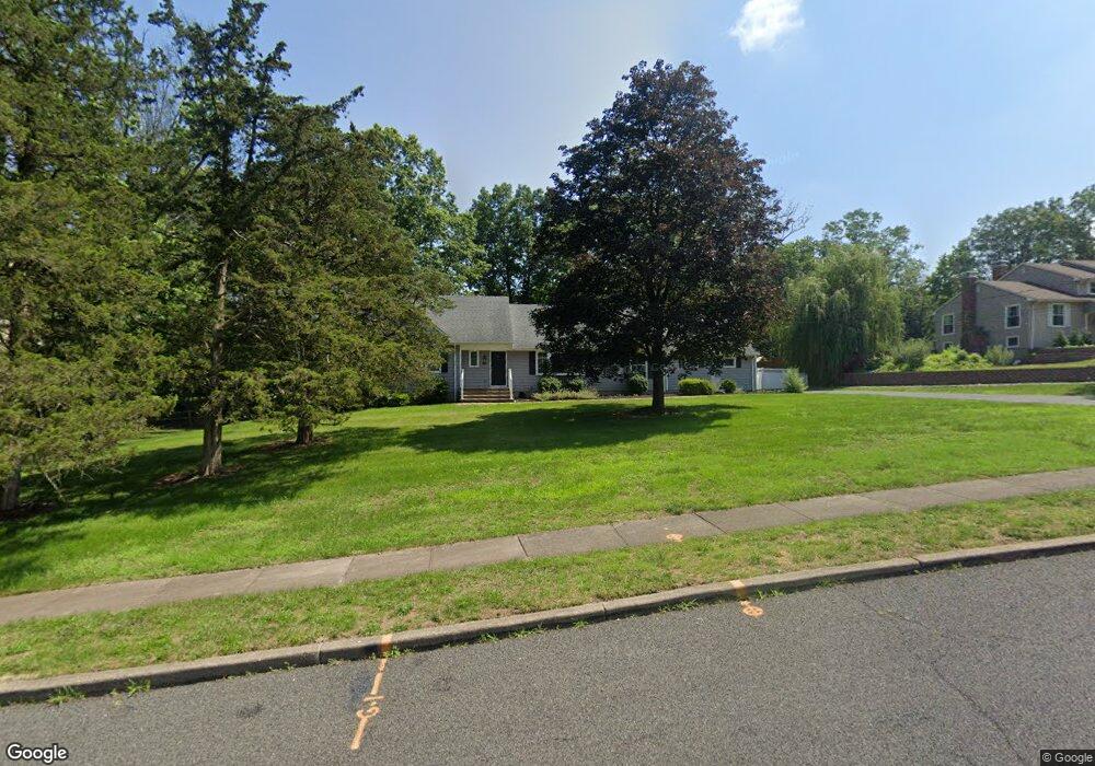
256 Carol Jean Way Branchburg, NJ 08876
Branchburg Township NeighborhoodEstimated Value: $844,042 - $923,000
--
Bed
--
Bath
2,783
Sq Ft
$319/Sq Ft
Est. Value
About This Home
This home is located at 256 Carol Jean Way, Branchburg, NJ 08876 and is currently estimated at $887,011, approximately $318 per square foot. 256 Carol Jean Way is a home located in Somerset County with nearby schools including Whiton Elementary School, Stony Brook School, and Branchburg Central Middle School.
Ownership History
Date
Name
Owned For
Owner Type
Purchase Details
Closed on
May 31, 2006
Sold by
Moffat James B
Bought by
Mongiovi Anthony and Mongiovi Kara L
Current Estimated Value
Home Financials for this Owner
Home Financials are based on the most recent Mortgage that was taken out on this home.
Original Mortgage
$180,000
Outstanding Balance
$106,121
Interest Rate
6.62%
Estimated Equity
$780,890
Create a Home Valuation Report for This Property
The Home Valuation Report is an in-depth analysis detailing your home's value as well as a comparison with similar homes in the area
Home Values in the Area
Average Home Value in this Area
Purchase History
| Date | Buyer | Sale Price | Title Company |
|---|---|---|---|
| Mongiovi Anthony | $615,000 | -- |
Source: Public Records
Mortgage History
| Date | Status | Borrower | Loan Amount |
|---|---|---|---|
| Open | Mongiovi Anthony | $180,000 |
Source: Public Records
Tax History Compared to Growth
Tax History
| Year | Tax Paid | Tax Assessment Tax Assessment Total Assessment is a certain percentage of the fair market value that is determined by local assessors to be the total taxable value of land and additions on the property. | Land | Improvement |
|---|---|---|---|---|
| 2025 | $11,805 | $703,000 | $199,700 | $503,300 |
| 2024 | $11,805 | $654,400 | $199,700 | $454,700 |
| 2023 | $11,473 | $613,200 | $199,700 | $413,500 |
| 2022 | $11,345 | $576,200 | $199,700 | $376,500 |
| 2021 | $11,612 | $549,300 | $199,700 | $349,600 |
| 2020 | $11,426 | $533,200 | $199,700 | $333,500 |
| 2019 | $11,396 | $528,800 | $199,700 | $329,100 |
| 2018 | $11,192 | $517,900 | $199,700 | $318,200 |
| 2017 | $10,943 | $502,900 | $189,700 | $313,200 |
| 2016 | $10,911 | $498,200 | $179,700 | $318,500 |
| 2015 | $10,626 | $486,100 | $169,700 | $316,400 |
| 2014 | $10,519 | $487,000 | $159,700 | $327,300 |
Source: Public Records
Map
Nearby Homes
- 248 Carol Jean Way
- 3366 Round Hill Rd
- 40 France Dr
- 3366 Us Highway 22
- 508 Keenland Ct
- 110 Arbor Way
- 1135 State Route 28
- 615 Magnolia Ln
- 1114 State Route 28
- 2 Eckles Dr
- 10 Clark Ln
- 12 Laomatong Rd
- 33 Iroquois Trail
- 122 Janelle Ct
- 16 Iroquois Trail
- 215 Readington Rd
- 41 Sanderson Ct
- 212 County Line Rd
- 21 Cheyenne Trail
- 6 Heritage Ct
- 252 Carol Jean Way
- 260 Carol Jean Way
- 264 Carol Jean Way
- 257 Carol Jean Way
- 253 Carol Jean Way
- 261 Carol Jean Way
- 89 Kiva Place
- 244 Carol Jean Way
- 265 Carol Jean Way
- 245 Carol Jean Way
- 3446 Round Hill Rd
- 85 Kiva Place
- 240 Carol Jean Way
- 241 Carol Jean Way
- 236 Carol Jean Way
- 86 Kiva Place
- 81 Kiva Place
- 3440 Round Hill Rd
- 89 Libby Ln
- 80 Kiva Place