256 Deer Farm Rd New Portland, ME 04961
Estimated Value: $391,000 - $590,000
4
Beds
4
Baths
2,520
Sq Ft
$195/Sq Ft
Est. Value
About This Home
This home is located at 256 Deer Farm Rd, New Portland, ME 04961 and is currently estimated at $491,389, approximately $194 per square foot. 256 Deer Farm Rd is a home.
Create a Home Valuation Report for This Property
The Home Valuation Report is an in-depth analysis detailing your home's value as well as a comparison with similar homes in the area
Home Values in the Area
Average Home Value in this Area
Tax History Compared to Growth
Tax History
| Year | Tax Paid | Tax Assessment Tax Assessment Total Assessment is a certain percentage of the fair market value that is determined by local assessors to be the total taxable value of land and additions on the property. | Land | Improvement |
|---|---|---|---|---|
| 2024 | $5,118 | $363,000 | $87,500 | $275,500 |
| 2023 | $4,829 | $349,900 | $74,400 | $275,500 |
| 2022 | $5,702 | $385,300 | $74,000 | $311,300 |
| 2021 | $5,702 | $267,700 | $37,100 | $230,600 |
| 2020 | $6,185 | $268,900 | $38,300 | $230,600 |
| 2019 | $5,134 | $268,800 | $38,200 | $230,600 |
| 2018 | $4,726 | $261,100 | $37,200 | $223,900 |
| 2017 | $4,679 | $261,400 | $37,500 | $223,900 |
| 2016 | $4,523 | $252,700 | $34,700 | $218,000 |
| 2015 | $4,248 | $249,900 | $31,900 | $218,000 |
| 2014 | $850 | $50,000 | $31,800 | $18,200 |
| 2013 | $702 | $40,800 | $22,100 | $18,700 |
Source: Public Records
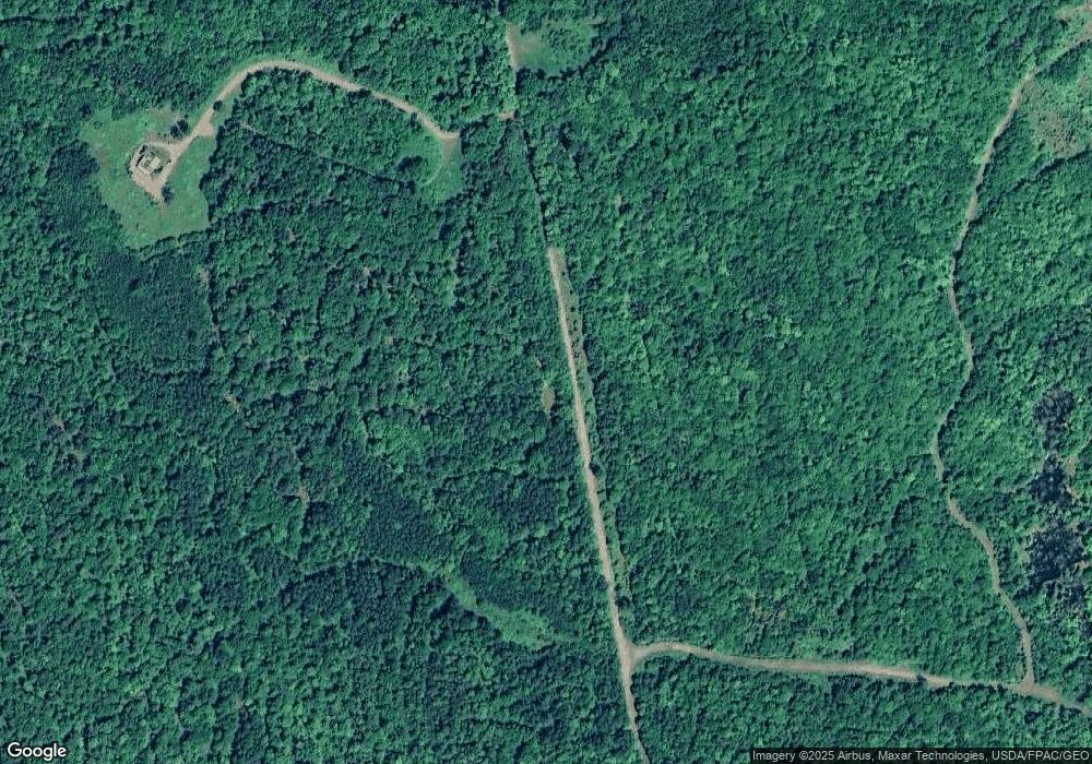
Map
Nearby Homes
- 301 Carrabassett Rd
- Lot 18&20 Carrabassett Rd
- 46-1 Millay Hill Rd
- Lot 4 Middlegate Ln
- Lot 3 Middlegate Ln
- Lot 1 Middlegate Ln
- 307 Gilman Pond Rd
- Lot 2 Middlegate Ln
- 73 Middlegate Ln
- 42 43 47 & 49 River Rd
- 42 43 47 & 49 River Rd
- 0 River Rd Unit 1621274
- 205 Long Falls Dam Rd
- 2401 Long Falls Dam Rd
- 176 Long Falls Dam Rd
- Lot 2 Freeman Ridge Rd
- 130 Bennett Hill Rd
- 286 Lexington Rd
- 461 Long Falls Dam Rd
- M12 Lot 5 22