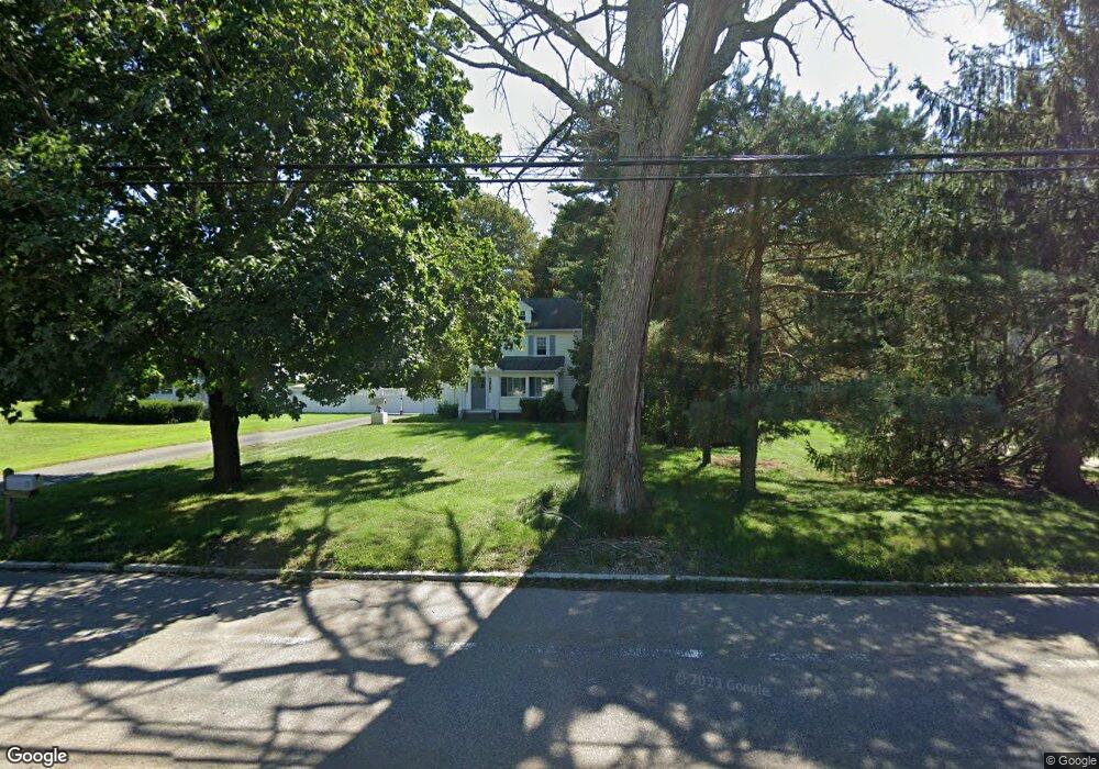
256 East St Wrentham, MA 02093
Estimated Value: $551,000 - $577,972
3
Beds
1
Bath
1,300
Sq Ft
$433/Sq Ft
Est. Value
About This Home
This home is located at 256 East St, Wrentham, MA 02093 and is currently estimated at $562,993, approximately $433 per square foot. 256 East St is a home located in Norfolk County with nearby schools including Delaney Elementary School, Charles E Roderick, and Foxborough Regional Charter School.
Ownership History
Date
Name
Owned For
Owner Type
Purchase Details
Closed on
May 2, 2025
Sold by
Edmund R Mitchell Jr Rt and Finn
Bought by
Mitchell Edmund R and Finn Denis T
Current Estimated Value
Purchase Details
Closed on
May 6, 2005
Sold by
Mitchell Edmund R
Bought by
Edmund R Mitchell Jr R R and Edmund Mitchell
Create a Home Valuation Report for This Property
The Home Valuation Report is an in-depth analysis detailing your home's value as well as a comparison with similar homes in the area
Home Values in the Area
Average Home Value in this Area
Purchase History
| Date | Buyer | Sale Price | Title Company |
|---|---|---|---|
| Mitchell Edmund R | -- | None Available | |
| Mitchell Edmund R | -- | None Available | |
| Edmund R Mitchell Jr R R | -- | -- | |
| Edmund R Mitchell Jr R | -- | -- |
Source: Public Records
Tax History Compared to Growth
Tax History
| Year | Tax Paid | Tax Assessment Tax Assessment Total Assessment is a certain percentage of the fair market value that is determined by local assessors to be the total taxable value of land and additions on the property. | Land | Improvement |
|---|---|---|---|---|
| 2025 | $5,907 | $509,700 | $265,900 | $243,800 |
| 2024 | $5,645 | $470,400 | $265,900 | $204,500 |
| 2023 | $5,546 | $439,500 | $241,800 | $197,700 |
| 2022 | $5,221 | $381,900 | $217,700 | $164,200 |
| 2021 | $5,013 | $356,300 | $194,400 | $161,900 |
| 2020 | $4,819 | $338,200 | $177,500 | $160,700 |
| 2019 | $4,482 | $317,400 | $161,300 | $156,100 |
| 2018 | $4,053 | $284,600 | $161,500 | $123,100 |
| 2017 | $3,840 | $269,500 | $158,400 | $111,100 |
| 2016 | $3,697 | $258,900 | $153,800 | $105,100 |
| 2015 | $3,601 | $240,400 | $147,900 | $92,500 |
| 2014 | $3,546 | $231,600 | $142,200 | $89,400 |
Source: Public Records
Map
Nearby Homes
- 362 East St
- 1 Lorraine Metcalf Dr
- 10 Nature View Dr
- 15 Nature View Dr
- 270 Dedham St
- 319 Taunton St
- 65 Pond St
- 120 Hawes St
- 131 Creek St Unit 7
- 11 Earle Stewart Ln
- 483 Thurston St
- Lot 3 - 14 Earle Stewart Ln
- Lot 1 - Blueberry 2 Car Plan at King Philip Estates
- Lot 8 - Blueberry 2 Car Plan at King Philip Estates
- Lot 6 - Blueberry 3 Car Plan at King Philip Estates
- Lot 2 - Camden 2 Car Plan at King Philip Estates
- Lot 7 - Cedar Plan at King Philip Estates
- Lot 4 - Hemingway 2 Car Plan at King Philip Estates
- Lot 3 - Blueberry 2 Car Plan at King Philip Estates
- 25 Foxboro Rd