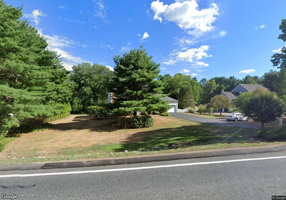
256 Eliot St Natick, MA 01760
Estimated Value: $1,163,462 - $1,360,000
4
Beds
3
Baths
2,258
Sq Ft
$563/Sq Ft
Est. Value
About This Home
This home is located at 256 Eliot St, Natick, MA 01760 and is currently estimated at $1,270,366, approximately $562 per square foot. 256 Eliot St is a home located in Middlesex County with nearby schools including Natick High School, Memorial Elementary School, and J F Kennedy Middle School.
Ownership History
Date
Name
Owned For
Owner Type
Purchase Details
Closed on
Oct 30, 2009
Sold by
Mark R Saulnier T and Standre Cathy A
Bought by
Jackson Walter L and Jackson Jeanine B
Current Estimated Value
Home Financials for this Owner
Home Financials are based on the most recent Mortgage that was taken out on this home.
Original Mortgage
$523,750
Interest Rate
5.06%
Mortgage Type
Purchase Money Mortgage
Purchase Details
Closed on
Feb 21, 2008
Sold by
Collins Kimberly
Bought by
Mark R Saulnier T and Standre Cathy A
Purchase Details
Closed on
Oct 31, 1994
Sold by
Woodland Enterprises
Bought by
Collins Kimberly A
Purchase Details
Closed on
Apr 23, 1992
Sold by
Woodland Enterprises
Bought by
Nardone Charles B and Nardone Elizabeth A
Purchase Details
Closed on
Jun 17, 1991
Sold by
Mulkerron Kathleen A
Bought by
Woodland Enterprises
Create a Home Valuation Report for This Property
The Home Valuation Report is an in-depth analysis detailing your home's value as well as a comparison with similar homes in the area
Home Values in the Area
Average Home Value in this Area
Purchase History
| Date | Buyer | Sale Price | Title Company |
|---|---|---|---|
| Jackson Walter L | $660,000 | -- | |
| Mark R Saulnier T | -- | -- | |
| Collins Kimberly A | $242,000 | -- | |
| Nardone Charles B | $325,000 | -- | |
| Woodland Enterprises | $245,000 | -- |
Source: Public Records
Mortgage History
| Date | Status | Borrower | Loan Amount |
|---|---|---|---|
| Open | Nardone Charles B | $523,750 | |
| Closed | Jackson Walter L | $523,750 | |
| Previous Owner | Nardone Charles B | $142,000 |
Source: Public Records
Tax History
| Year | Tax Paid | Tax Assessment Tax Assessment Total Assessment is a certain percentage of the fair market value that is determined by local assessors to be the total taxable value of land and additions on the property. | Land | Improvement |
|---|---|---|---|---|
| 2025 | $12,682 | $1,060,400 | $593,600 | $466,800 |
| 2024 | $12,378 | $1,009,600 | $562,500 | $447,100 |
| 2023 | $12,275 | $971,100 | $562,200 | $408,900 |
| 2022 | $10,963 | $821,800 | $448,700 | $373,100 |
| 2021 | $10,515 | $772,600 | $425,100 | $347,500 |
| 2020 | $10,276 | $755,000 | $407,500 | $347,500 |
| 2019 | $9,596 | $755,000 | $407,500 | $347,500 |
| 2018 | $9,875 | $756,700 | $390,600 | $366,100 |
| 2017 | $10,042 | $744,400 | $384,800 | $359,600 |
| 2016 | $10,055 | $741,000 | $384,800 | $356,200 |
| 2015 | $9,832 | $711,400 | $384,800 | $326,600 |
Source: Public Records
Map
Nearby Homes
- 211 Eliot St
- 189 Eliot St
- 6 Hopewell Farm Rd
- 36 Yorkshire Rd
- 16 Wayside Rd Unit 14
- 2 Phillips Pond Rd
- 124 Everett St
- 18 Phillips Pond Rd
- 81 Woodland St
- 104 Eliot St
- 11 Morgan Dr Unit 404
- 104 Glen St
- 7 Allison Way Unit 7
- 61 Glen St
- 83 Eliot St
- 44 Glen St
- 8 Greystone Rd
- 137 Lake St
- 165 Woodland St
- 14 Pinewood Ave
Your Personal Tour Guide
Ask me questions while you tour the home.