256 Emily Rd Saint Clair, MO 63077
Estimated Value: $138,000
3
Beds
1
Bath
960
Sq Ft
$144/Sq Ft
Est. Value
About This Home
This home is located at 256 Emily Rd, Saint Clair, MO 63077 and is currently estimated at $138,000, approximately $143 per square foot. 256 Emily Rd is a home located in Franklin County with nearby schools including St. Clair Elementary School, Edgar Murray Elementary School, and St. Clair Junior High School.
Ownership History
Date
Name
Owned For
Owner Type
Purchase Details
Closed on
Jan 16, 2019
Sold by
Gilbert David F and Declue Idia
Bought by
Declue George and Declue Angela
Current Estimated Value
Purchase Details
Closed on
Jul 15, 2005
Sold by
Declue Idia
Bought by
Gilbert David F and Declue Idia
Home Financials for this Owner
Home Financials are based on the most recent Mortgage that was taken out on this home.
Original Mortgage
$12,000
Interest Rate
5.61%
Mortgage Type
FHA
Create a Home Valuation Report for This Property
The Home Valuation Report is an in-depth analysis detailing your home's value as well as a comparison with similar homes in the area
Home Values in the Area
Average Home Value in this Area
Purchase History
| Date | Buyer | Sale Price | Title Company |
|---|---|---|---|
| Declue George | -- | Hansen Farnklin County Land | |
| Gilbert David F | -- | None Available |
Source: Public Records
Mortgage History
| Date | Status | Borrower | Loan Amount |
|---|---|---|---|
| Previous Owner | Gilbert David F | $12,000 |
Source: Public Records
Tax History
| Year | Tax Paid | Tax Assessment Tax Assessment Total Assessment is a certain percentage of the fair market value that is determined by local assessors to be the total taxable value of land and additions on the property. | Land | Improvement |
|---|---|---|---|---|
| 2025 | $696 | $11,505 | $0 | $0 |
| 2024 | $696 | $9,999 | $0 | $0 |
| 2023 | $545 | $9,999 | $0 | $0 |
| 2022 | $472 | $8,625 | $0 | $0 |
| 2021 | $471 | $8,625 | $0 | $0 |
| 2020 | $476 | $8,361 | $0 | $0 |
| 2019 | $472 | $8,361 | $0 | $0 |
| 2018 | $468 | $8,187 | $0 | $0 |
| 2017 | $467 | $8,187 | $0 | $0 |
| 2016 | $459 | $8,023 | $0 | $0 |
| 2015 | $421 | $8,023 | $0 | $0 |
| 2014 | $441 | $8,378 | $0 | $0 |
Source: Public Records
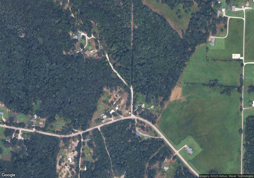
Map
Nearby Homes
- 5546 Dry Branch Rd
- 480 Lone Pine Ln
- 347 Roller Rd
- 1 Happy Sac Rd
- 315 W Oak St
- 5 Lots Mosley Ave
- 208 Mosley Ave
- 481 Family Rd
- 0 E Happy Sac Rd
- 390 Highway Dr
- 1322 Reiker Ford Rd
- 330 Young St
- 1675 Peacock Rd
- 235 E Oak St
- 0 Peacock Rd
- 285 E Oak St
- 0 Oakridge Estate Block 2 Lot 40 Unit MIS25078527
- 325 Iris Ct
- 421 Lake Shore Dr
- 605 N Main St
- 604 Emily Cemetery Rd
- 841 Angel Valley Dr
- 282 Wild Fox Rd
- 119 Petzold Dr
- 798 Roller Rd
- 800 Eagles View Ln
- 800 Eagles View Ln
- 689 Emily Cemetery Rd
- 185 Wild Fox Rd
- 150 High Pass Rd
- 146 High Pass Rd
- 729 Angel Valley Dr
- 842 Eagles View Ln
- 445 Emily Rd
- 766 Eagles View Ln
- 447 Emily Rd
- 763 Eagles View Ln
- 124 High Pass Rd
- 912 Angel Valley Dr
- 881 Hagen Dr
Your Personal Tour Guide
Ask me questions while you tour the home.