256 Gore Rd Onalaska, WA 98570
Estimated Value: $491,000
3
Beds
2
Baths
1,848
Sq Ft
$266/Sq Ft
Est. Value
About This Home
This home is located at 256 Gore Rd, Onalaska, WA 98570 and is currently estimated at $491,000, approximately $265 per square foot. 256 Gore Rd is a home located in Lewis County with nearby schools including Onalaska Elementary School and Onalaska High School.
Ownership History
Date
Name
Owned For
Owner Type
Purchase Details
Closed on
Oct 15, 2010
Sold by
Hadaller Kurt J
Bought by
Ashley Wayne
Current Estimated Value
Home Financials for this Owner
Home Financials are based on the most recent Mortgage that was taken out on this home.
Original Mortgage
$222,010
Outstanding Balance
$147,617
Interest Rate
4.5%
Mortgage Type
FHA
Estimated Equity
$343,383
Purchase Details
Closed on
Jan 7, 2005
Sold by
Edwards Virginia A
Bought by
Hadaller Kurt J and Hadaller Sandi M
Home Financials for this Owner
Home Financials are based on the most recent Mortgage that was taken out on this home.
Original Mortgage
$222,010
Interest Rate
4.5%
Mortgage Type
FHA
Create a Home Valuation Report for This Property
The Home Valuation Report is an in-depth analysis detailing your home's value as well as a comparison with similar homes in the area
Home Values in the Area
Average Home Value in this Area
Purchase History
| Date | Buyer | Sale Price | Title Company |
|---|---|---|---|
| Ashley Wayne | $234,280 | None Available | |
| Hadaller Kurt J | -- | Title Guaranty |
Source: Public Records
Mortgage History
| Date | Status | Borrower | Loan Amount |
|---|---|---|---|
| Open | Ashley Wayne | $222,010 | |
| Previous Owner | Hadaller Kurt J | $222,010 |
Source: Public Records
Tax History Compared to Growth
Tax History
| Year | Tax Paid | Tax Assessment Tax Assessment Total Assessment is a certain percentage of the fair market value that is determined by local assessors to be the total taxable value of land and additions on the property. | Land | Improvement |
|---|---|---|---|---|
| 2024 | $2,199 | $431,100 | $107,600 | $323,500 |
| 2023 | $2,350 | $413,400 | $79,300 | $334,100 |
| 2022 | $2,047 | $310,900 | $62,800 | $248,100 |
| 2021 | $2,054 | $310,900 | $62,800 | $248,100 |
| 2020 | $2,055 | $273,900 | $52,300 | $221,600 |
| 2019 | $1,840 | $258,700 | $52,300 | $206,400 |
| 2018 | $1,750 | $227,300 | $45,900 | $181,400 |
| 2017 | $1,596 | $198,900 | $43,100 | $155,800 |
| 2016 | $1,500 | $182,700 | $41,100 | $141,600 |
| 2015 | $1,263 | $167,800 | $39,100 | $128,700 |
| 2013 | $1,263 | $167,000 | $39,100 | $127,900 |
Source: Public Records
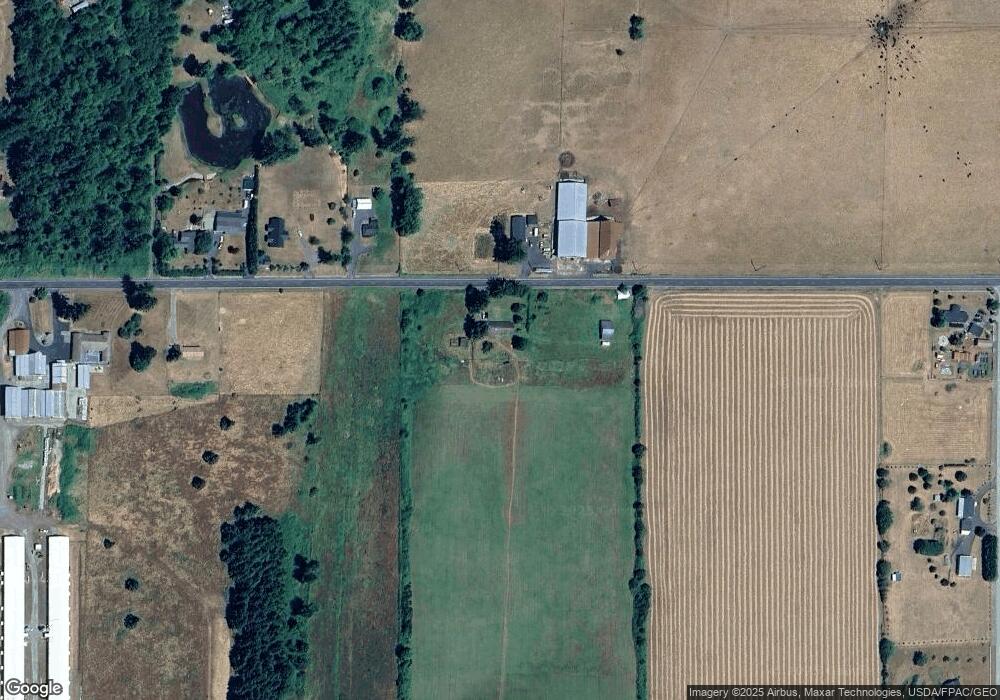
Map
Nearby Homes
- 124 Gilbert Rd S
- 182-51 Burchett Rd
- 0 Gore Rd Unit NWM2370858
- 126 Burchett Rd
- 223 Oxbow Lake Ln
- 1956 US Highway 12
- 1950 U S 12
- 0 Burchett Rd Unit NWM2322360
- 0 State Hwy 12
- 4311 State 508
- 0 Shanklin Rd Unit NWM2414157
- 0 State 508
- 1819 Washington 508
- 127 Heights Ln
- 123 6 Heights Ln
- 2091 Washington 508
- 4255 State 508
- 132 Quiet Acres Dr
- 1296 U S 12
- 0 Kiser Rd Unit NWM2399084