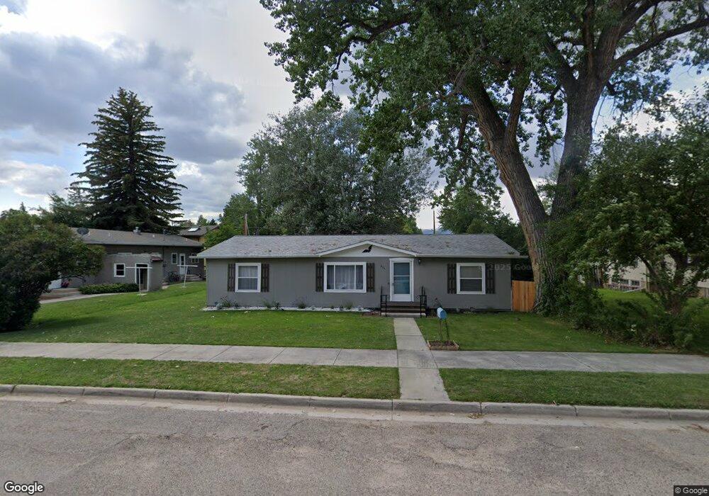
256 High St Unit Angus Buffalo, WY 82834
Estimated Value: $243,000 - $295,000
3
Beds
2
Baths
1,377
Sq Ft
$193/Sq Ft
Est. Value
About This Home
This home is located at 256 High St Unit Angus, Buffalo, WY 82834 and is currently estimated at $265,883, approximately $193 per square foot. 256 High St Unit Angus is a home located in Johnson County with nearby schools including Meadowlark Elementary School, Cloud Peak Elementary School, and Clear Creek Middle School.
Ownership History
Date
Name
Owned For
Owner Type
Purchase Details
Closed on
Jun 25, 2024
Sold by
Ward James Douglas
Bought by
Kysar Marshal and Kysar Abbie
Current Estimated Value
Home Financials for this Owner
Home Financials are based on the most recent Mortgage that was taken out on this home.
Original Mortgage
$15,000
Outstanding Balance
$8,326
Interest Rate
7.02%
Mortgage Type
New Conventional
Estimated Equity
$257,557
Create a Home Valuation Report for This Property
The Home Valuation Report is an in-depth analysis detailing your home's value as well as a comparison with similar homes in the area
Home Values in the Area
Average Home Value in this Area
Purchase History
| Date | Buyer | Sale Price | Title Company |
|---|---|---|---|
| Kysar Marshal | -- | First American Title |
Source: Public Records
Mortgage History
| Date | Status | Borrower | Loan Amount |
|---|---|---|---|
| Open | Kysar Marshal | $15,000 | |
| Open | Kysar Marshal | $263,145 |
Source: Public Records
Tax History Compared to Growth
Tax History
| Year | Tax Paid | Tax Assessment Tax Assessment Total Assessment is a certain percentage of the fair market value that is determined by local assessors to be the total taxable value of land and additions on the property. | Land | Improvement |
|---|---|---|---|---|
| 2025 | $1,049 | $11,255 | $3,550 | $7,705 |
| 2024 | $1,049 | $13,897 | $4,734 | $9,163 |
| 2023 | $808 | $13,724 | $4,734 | $8,990 |
| 2022 | $638 | $11,481 | $3,916 | $7,565 |
| 2021 | $867 | $9,807 | $3,712 | $6,095 |
| 2020 | $499 | $9,740 | $3,712 | $6,028 |
| 2019 | $588 | $10,887 | $3,712 | $7,175 |
| 2018 | $577 | $10,830 | $3,712 | $7,118 |
| 2017 | $564 | $10,740 | $3,446 | $7,294 |
| 2016 | $581 | $0 | $0 | $0 |
| 2015 | $578 | $0 | $0 | $0 |
| 2014 | $578 | $0 | $0 | $0 |
Source: Public Records
Map
Nearby Homes
- 199 Western Ave
- Lot 7 Western Ave
- Lot 8 Western Ave
- 158 Western Ave
- 293 S Main St
- TBD S Lobban Ave
- 195 W Gatchell St
- 5 S Lobban Ave
- 155 E Keays St
- TBD S Main St
- 500 W Parmelee St
- 471 & 483 S Tisdale
- 29 N Desmet Ave
- 206 Cummings Ave
- 107 N Tisdale Ave
- 401 Williams Ave
- 332 N Lobban Ave
- 253 N Carrington Ave
- TBD S Bypass Rd
- 343 N Main St