256 Leadingham Branch Grayson, KY 41143
Estimated Value: $210,000 - $307,000
3
Beds
2
Baths
1,860
Sq Ft
$138/Sq Ft
Est. Value
About This Home
This home is located at 256 Leadingham Branch, Grayson, KY 41143 and is currently estimated at $257,423, approximately $138 per square foot. 256 Leadingham Branch is a home located in Carter County with nearby schools including Heritage Elementary School, East Carter Middle School, and East Carter County High School.
Ownership History
Date
Name
Owned For
Owner Type
Purchase Details
Closed on
Apr 17, 2020
Sold by
Sexton Anjelia Joan
Bought by
Bush Cody E and Bush Kelsi Denise
Current Estimated Value
Home Financials for this Owner
Home Financials are based on the most recent Mortgage that was taken out on this home.
Original Mortgage
$182,828
Outstanding Balance
$161,656
Interest Rate
3.3%
Mortgage Type
New Conventional
Estimated Equity
$95,767
Create a Home Valuation Report for This Property
The Home Valuation Report is an in-depth analysis detailing your home's value as well as a comparison with similar homes in the area
Home Values in the Area
Average Home Value in this Area
Purchase History
| Date | Buyer | Sale Price | Title Company |
|---|---|---|---|
| Bush Cody E | $181,000 | Title Suppliers |
Source: Public Records
Mortgage History
| Date | Status | Borrower | Loan Amount |
|---|---|---|---|
| Open | Bush Cody E | $182,828 |
Source: Public Records
Tax History Compared to Growth
Tax History
| Year | Tax Paid | Tax Assessment Tax Assessment Total Assessment is a certain percentage of the fair market value that is determined by local assessors to be the total taxable value of land and additions on the property. | Land | Improvement |
|---|---|---|---|---|
| 2024 | $1,550 | $180,680 | $0 | $0 |
| 2023 | $1,557 | $180,680 | $0 | $0 |
| 2022 | $1,566 | $181,000 | $0 | $0 |
| 2021 | $1,596 | $181,000 | $0 | $0 |
| 2020 | $1,327 | $181,000 | $10,000 | $171,000 |
| 2019 | $780 | $88,500 | $5,000 | $83,500 |
| 2018 | $781 | $88,500 | $5,000 | $83,500 |
| 2017 | $745 | $88,500 | $5,000 | $83,500 |
| 2016 | $743 | $88,500 | $5,000 | $83,500 |
| 2015 | $726 | $88,500 | $5,000 | $83,500 |
| 2014 | $726 | $88,500 | $0 | $0 |
| 2011 | $713 | $88,500 | $0 | $0 |
Source: Public Records
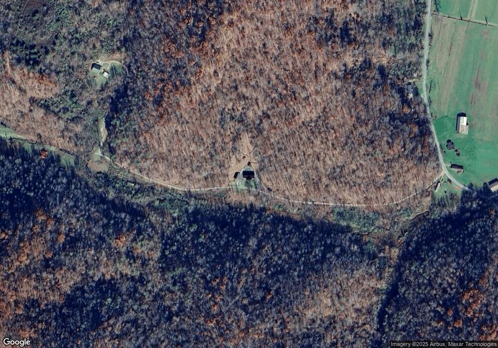
Map
Nearby Homes
- 5206 St Hwy 1496
- 862 Dry Ridge Rd
- 0 Lick Creek Rd
- 18A Hall Rd
- 6998 S State Highway 1
- 24A Fields Branch Rd
- 453 Jaybird Ln
- 1327 Fraley Branch Rd
- 70 Ridgetop Dr
- 365 Clifty Acres Rd
- 0 Route 1
- 94 Kouns Rd
- 16 Coal Camp Rd
- 272 Family Mountain
- 31 Edsel Rd
- 1015 Beetree Fork
- Lot #1
- Lot #9 Greenbrier Plantations Phase 1
- Lot #5 Greenbrier Plantations Phase 1
- Lot #3 Greenbrier Plantations Phase 1
- 1074 State Highway 1122
- 466 Leadingham Branch
- 1159 State Highway 1122
- 894 State Highway 1122
- 1446 State Highway 1122
- 300 Pennington Ln
- 1534 State Highway 1122
- 556 Pennington Ln
- 1555 State Highway 1122
- 293 Meadow Branch
- 1530 State Highway 1122
- 484 State Highway 1122
- 2365 State Highway 1122
- 61 Porter Rd
- 2153 State Highway 1122
- 202 Mcginnis Rd
- 2421 State Highway 1122
- 342 Meadow Branch
- 620 Mcginnis Rd
- 0 Hilton Branch Rd