256 Mckinnon Trail Carrollton, GA 30116
Estimated Value: $275,000 - $442,000
3
Beds
2
Baths
1,640
Sq Ft
$215/Sq Ft
Est. Value
About This Home
This home is located at 256 Mckinnon Trail, Carrollton, GA 30116 and is currently estimated at $352,224, approximately $214 per square foot. 256 Mckinnon Trail is a home located in Carroll County with nearby schools including Central Elementary School, Central Middle School, and Central High School.
Ownership History
Date
Name
Owned For
Owner Type
Purchase Details
Closed on
Nov 14, 2024
Sold by
Barron Julie
Bought by
Barron Charles and Barron Julie
Current Estimated Value
Purchase Details
Closed on
Oct 21, 2024
Sold by
Barron Charles H
Bought by
Barron Julie
Purchase Details
Closed on
Sep 15, 1999
Sold by
Barron Charles H
Bought by
Barron Charles H and Barron J
Purchase Details
Closed on
Mar 14, 1986
Bought by
Barron Charles H
Create a Home Valuation Report for This Property
The Home Valuation Report is an in-depth analysis detailing your home's value as well as a comparison with similar homes in the area
Home Values in the Area
Average Home Value in this Area
Purchase History
| Date | Buyer | Sale Price | Title Company |
|---|---|---|---|
| Barron Charles | -- | -- | |
| Barron Julie | -- | -- | |
| Barron Charles H | -- | -- | |
| Barron Charles H | -- | -- |
Source: Public Records
Tax History Compared to Growth
Tax History
| Year | Tax Paid | Tax Assessment Tax Assessment Total Assessment is a certain percentage of the fair market value that is determined by local assessors to be the total taxable value of land and additions on the property. | Land | Improvement |
|---|---|---|---|---|
| 2024 | $209 | $157,962 | $55,736 | $102,226 |
| 2023 | $209 | $138,885 | $44,589 | $94,296 |
| 2022 | $2,055 | $105,483 | $29,726 | $75,757 |
| 2021 | $1,837 | $90,428 | $23,781 | $66,647 |
| 2020 | $1,641 | $79,508 | $21,619 | $57,889 |
| 2019 | $1,580 | $75,685 | $21,619 | $54,066 |
| 2018 | $1,484 | $69,537 | $20,205 | $49,332 |
| 2017 | $1,487 | $69,537 | $20,205 | $49,332 |
| 2016 | $1,487 | $69,537 | $20,205 | $49,332 |
| 2015 | $1,172 | $48,090 | $12,945 | $35,145 |
| 2014 | $1,177 | $48,090 | $12,945 | $35,145 |
Source: Public Records
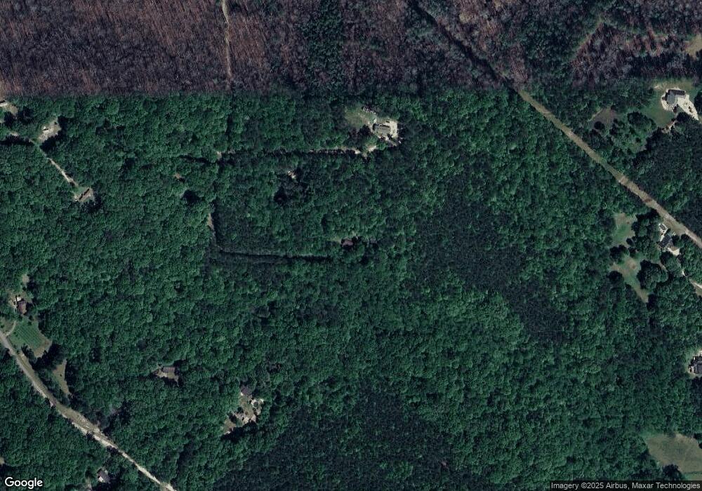
Map
Nearby Homes
- 0 Bankhead Hwy and Sassafras Unit 140936
- 52 Castleman Rd
- 2218 Cross Plains Hulett Rd
- 200 Heath Rd
- 2181 2201 Star Point
- 00 Heath Rd
- 0 Heath Rd Unit 20173471
- 357 Old Driver Rd
- 0 Horsley Dr Unit 139456
- 570 Old Driver Rd
- 369 Old Driver Rd
- 409 Old Driver Rd
- 501 Hollis Thompson Dr
- 0 Cross Plains Rd Unit 10644288
- 0 Cross Plains Rd Unit 7682594
- 252 Mink Hollow Dr
- 2033 Old Newnan Rd
- 2800 Georgia 16
- 391 Foggy Bottom Dr
- 2800 Sr 16
- 230 Mckinnon Trail
- 209 Mckinnon Trail
- 338 Gilley Rd
- 300 Gilley Rd
- 205 Mckinnon Trail
- 1341 Cross Plains Rd
- 0 Mckinnon Trail Unit 8442257
- 0 Mckinnon Trail
- 288 Gilley Rd
- 0 Gilley Rd Unit 8364710
- 850 Old Four Notch Rd
- 335 Gilley Rd
- 216 Gilley Rd
- 900 Old Four Notch Rd
- 142 Gilley Rd
- 830 Old Four Notch Rd
- 510 Gilley Rd
- 50 Mckinnon Trail
- 64 Mckinnon Trail
- 211 Gilley Rd