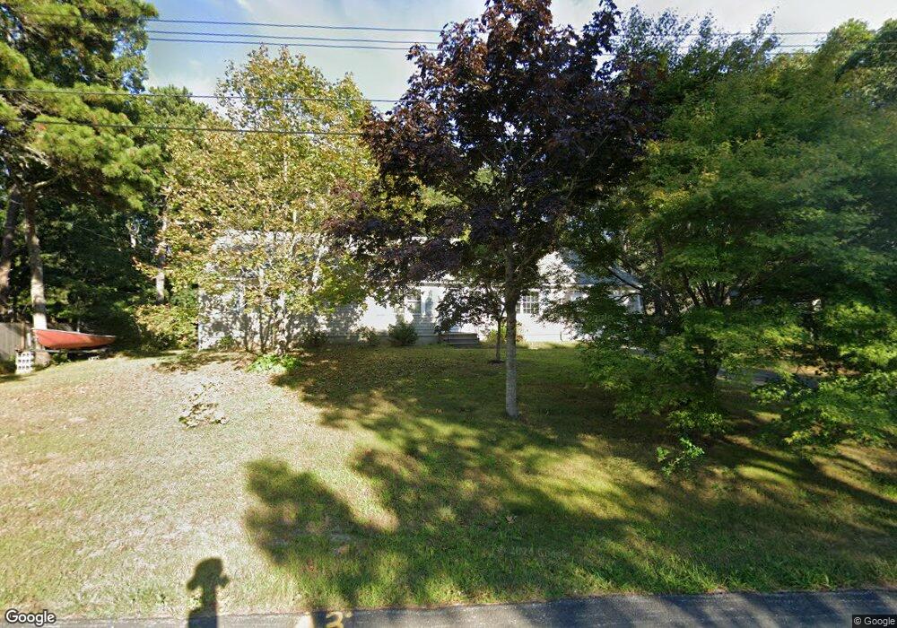
256 Paddocks Path Dennis, MA 02638
East Dennis NeighborhoodEstimated Value: $633,290 - $743,000
3
Beds
2
Baths
1,248
Sq Ft
$549/Sq Ft
Est. Value
About This Home
This home is located at 256 Paddocks Path, Dennis, MA 02638 and is currently estimated at $685,323, approximately $549 per square foot. 256 Paddocks Path is a home located in Barnstable County with nearby schools including Dennis-Yarmouth Regional High School.
Ownership History
Date
Name
Owned For
Owner Type
Purchase Details
Closed on
Dec 17, 2025
Sold by
Tymon Paul F and Scanzaroli-Tymon Anna M
Bought by
Tymon Ft and Tymon
Current Estimated Value
Purchase Details
Closed on
Aug 5, 1988
Sold by
Smith Charles H
Bought by
Tymon Paul F
Home Financials for this Owner
Home Financials are based on the most recent Mortgage that was taken out on this home.
Original Mortgage
$104,000
Interest Rate
10.36%
Mortgage Type
Purchase Money Mortgage
Create a Home Valuation Report for This Property
The Home Valuation Report is an in-depth analysis detailing your home's value as well as a comparison with similar homes in the area
Home Values in the Area
Average Home Value in this Area
Purchase History
| Date | Buyer | Sale Price | Title Company |
|---|---|---|---|
| Tymon Ft | -- | -- | |
| Tymon Paul F | $130,000 | -- |
Source: Public Records
Mortgage History
| Date | Status | Borrower | Loan Amount |
|---|---|---|---|
| Previous Owner | Tymon Paul F | $85,000 | |
| Previous Owner | Tymon Paul F | $98,000 | |
| Previous Owner | Tymon Paul F | $104,000 |
Source: Public Records
Tax History
| Year | Tax Paid | Tax Assessment Tax Assessment Total Assessment is a certain percentage of the fair market value that is determined by local assessors to be the total taxable value of land and additions on the property. | Land | Improvement |
|---|---|---|---|---|
| 2025 | $2,618 | $604,700 | $183,400 | $421,300 |
| 2024 | $2,495 | $568,300 | $176,400 | $391,900 |
| 2023 | $2,413 | $516,700 | $160,400 | $356,300 |
| 2022 | $2,286 | $408,200 | $144,500 | $263,700 |
| 2021 | $2,180 | $361,600 | $141,600 | $220,000 |
| 2020 | $2,081 | $341,200 | $141,600 | $199,600 |
| 2019 | $2,030 | $329,000 | $151,500 | $177,500 |
| 2018 | $1,924 | $303,500 | $144,200 | $159,300 |
| 2017 | $1,761 | $286,400 | $132,200 | $154,200 |
| 2016 | $1,821 | $278,800 | $150,200 | $128,600 |
| 2015 | $1,784 | $278,800 | $150,200 | $128,600 |
| 2014 | $1,656 | $260,800 | $132,200 | $128,600 |
Source: Public Records
Map
Nearby Homes
- 58 Terrace Hill Dr
- 61 Terrace Hill Dr
- 930 Old Bass River Rd
- 31 High Head Rd
- 276 Scargo Hill Rd
- 32 Captain Walsh Dr
- 35 Crown Grant Dr
- 102 Prince Way
- 15 Signal Hill Dr
- 6 Thomas Ct
- 645 Main St Back Lot
- 1354 Route 134
- 39 Whittier Dr
- 26 S West Dr
- 19 Deacon Joseph Ln
- 480 Main St
- 59 Hope Ln
- 268 Main St
- 1706 Massachusetts 6a Unit 18
- 1706 Route 6a Unit 18
- 146 Hokum Rock Rd
- 2 Anchor Ln
- 152 Hokum Rock Rd
- 253 Paddocks Path
- 8 Anchor Ln
- 8 Anchor
- 257 Paddocks Path
- 5 Southport Ln
- 245 Paddocks Path
- 7 Compass Ln
- 11 Compass Ln
- 160 Hokum Rock Rd
- 242 Paddocks Path
- 6 Southport Ln
- 7 Anchor Ln
- 3 Southport Ln
- 2 Westwind Dr
- 18 Westwind Dr
- 5 Northport Ln
- 234 Paddocks Path
Your Personal Tour Guide
Ask me questions while you tour the home.