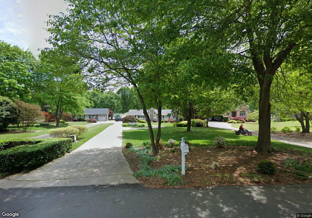
256 Queens Cove Rd Mooresville, NC 28117
Estimated Value: $1,063,000 - $1,408,000
3
Beds
2
Baths
1,774
Sq Ft
$654/Sq Ft
Est. Value
About This Home
This home is located at 256 Queens Cove Rd, Mooresville, NC 28117 and is currently estimated at $1,160,184, approximately $653 per square foot. 256 Queens Cove Rd is a home located in Iredell County with nearby schools including Coddle Creek Elementary School, Lake Norman High School, and Langtree Charter Academy.
Ownership History
Date
Name
Owned For
Owner Type
Purchase Details
Closed on
Aug 30, 2023
Sold by
Paysor Richard A and Paysor Stella J
Bought by
Paysor Family Living Trust and Paysor
Current Estimated Value
Purchase Details
Closed on
Oct 1, 1996
Purchase Details
Closed on
Jun 1, 1994
Purchase Details
Closed on
Apr 1, 1991
Purchase Details
Closed on
Jun 1, 1988
Purchase Details
Closed on
Aug 1, 1984
Create a Home Valuation Report for This Property
The Home Valuation Report is an in-depth analysis detailing your home's value as well as a comparison with similar homes in the area
Home Values in the Area
Average Home Value in this Area
Purchase History
| Date | Buyer | Sale Price | Title Company |
|---|---|---|---|
| Paysor Family Living Trust | -- | None Listed On Document | |
| -- | $200,000 | -- | |
| -- | $500 | -- | |
| -- | $240,500 | -- | |
| -- | $224,000 | -- | |
| -- | $147,000 | -- |
Source: Public Records
Tax History Compared to Growth
Tax History
| Year | Tax Paid | Tax Assessment Tax Assessment Total Assessment is a certain percentage of the fair market value that is determined by local assessors to be the total taxable value of land and additions on the property. | Land | Improvement |
|---|---|---|---|---|
| 2024 | $5,382 | $902,050 | $660,000 | $242,050 |
| 2023 | $5,382 | $902,050 | $660,000 | $242,050 |
| 2022 | $4,022 | $631,340 | $440,000 | $191,340 |
| 2021 | $4,018 | $631,340 | $440,000 | $191,340 |
| 2020 | $4,018 | $631,340 | $440,000 | $191,340 |
| 2019 | $3,828 | $631,340 | $440,000 | $191,340 |
| 2018 | $3,520 | $590,370 | $440,000 | $150,370 |
| 2017 | $3,481 | $583,640 | $440,000 | $143,640 |
| 2016 | $3,481 | $583,640 | $440,000 | $143,640 |
| 2015 | $3,452 | $583,640 | $440,000 | $143,640 |
| 2014 | $3,186 | $591,230 | $440,000 | $151,230 |
Source: Public Records
Map
Nearby Homes
- 134 Lawrence Tee Ln
- 166 Iron Gate Cir
- 122 Lanyard Dr Unit B
- 103 Turnerlair Ct
- 117 Lanyard Dr Unit E
- 117 Lanyard Dr Unit D
- 15.4 Acres Langtree Rd
- 522 Langtree Rd
- 127 Edgeway Rd
- 101 Lynn Cove Ln
- 109 Lynn Cove Ln
- 242 Templeton Rd Unit 246
- 155 Huntfield Way
- 125 Slocumb Ln
- 124 Slocumb Ln
- 169 Southhaven Dr
- 109 Sumter Dr
- 132 Bridgeport Dr
- 116 Lakewood Circle Dr
- 138 Lakefront Dr
- 258 Queens Cove Rd
- 254 Queens Cove Rd
- 260 Queens Cove Rd
- 260 Queens Cove Rd Unit 14
- 250 Queens Cove Rd
- 262 Queens Cove Rd
- 248 Queens Cove Rd
- 268 Queens Cove Rd
- 244 Queens Cove Rd
- 238 Queens Cove Rd
- 251 Queens Cove Rd
- 282 Queens Cove Rd
- 228 Harwell Rd
- 235 Queens Cove Rd
- 288 Queens Cove Rd
- 294 Queens Cove Rd
- 226 Queens Cove Rd
- 298 Queens Cove Rd
- 216 Harwell Rd
- 215 Queens Cove Rd