Estimated Value: $362,745 - $407,000
3
Beds
2
Baths
1,474
Sq Ft
$261/Sq Ft
Est. Value
About This Home
This home is located at 256 S 365 E, Ivins, UT 84738 and is currently estimated at $385,436, approximately $261 per square foot. 256 S 365 E is a home located in Washington County with nearby schools including Red Mountain School, Snow Canyon Middle School, and Lava Ridge Intermediate School.
Ownership History
Date
Name
Owned For
Owner Type
Purchase Details
Closed on
Aug 5, 2022
Sold by
Lou Johnson Mary
Bought by
Johnson Family Trust
Current Estimated Value
Purchase Details
Closed on
Jul 26, 2022
Sold by
Lou Johnson Mary
Bought by
Johnson Family Trust
Purchase Details
Closed on
Jul 13, 2017
Sold by
Provstgaard Robert F and Johnson Mary Lou
Bought by
Johnson Mary Lou
Purchase Details
Closed on
Jan 24, 2005
Sold by
Merrill And Associates Llc
Bought by
Provstgaard Robert F
Home Financials for this Owner
Home Financials are based on the most recent Mortgage that was taken out on this home.
Original Mortgage
$136,800
Interest Rate
5.69%
Mortgage Type
New Conventional
Create a Home Valuation Report for This Property
The Home Valuation Report is an in-depth analysis detailing your home's value as well as a comparison with similar homes in the area
Purchase History
| Date | Buyer | Sale Price | Title Company |
|---|---|---|---|
| Johnson Family Trust | -- | None Listed On Document | |
| Johnson Family Trust | -- | None Listed On Document | |
| Johnson Mary Lou | -- | None Available | |
| Provstgaard Robert F | -- | Southern Utah Title Co |
Source: Public Records
Mortgage History
| Date | Status | Borrower | Loan Amount |
|---|---|---|---|
| Previous Owner | Provstgaard Robert F | $136,800 |
Source: Public Records
Tax History
| Year | Tax Paid | Tax Assessment Tax Assessment Total Assessment is a certain percentage of the fair market value that is determined by local assessors to be the total taxable value of land and additions on the property. | Land | Improvement |
|---|---|---|---|---|
| 2025 | $2,494 | $376,600 | $85,000 | $291,600 |
| 2023 | $2,610 | $382,500 | $85,000 | $297,500 |
| 2022 | $1,529 | $210,870 | $46,750 | $164,120 |
| 2021 | $1,368 | $280,300 | $55,000 | $225,300 |
| 2020 | $1,237 | $239,900 | $45,000 | $194,900 |
| 2019 | $1,183 | $224,400 | $45,000 | $179,400 |
| 2018 | $1,259 | $122,870 | $0 | $0 |
| 2017 | $1,175 | $111,595 | $0 | $0 |
| 2016 | $1,272 | $111,540 | $0 | $0 |
| 2015 | $1,261 | $106,425 | $0 | $0 |
| 2014 | $1,280 | $108,570 | $0 | $0 |
Source: Public Records
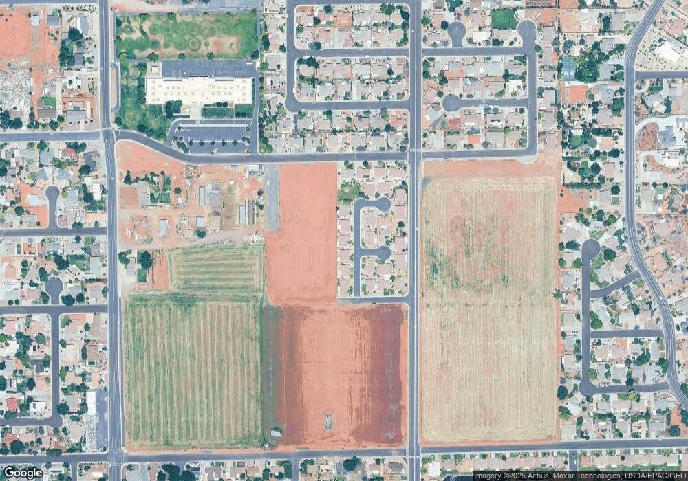
Map
Nearby Homes
- 372 E 400 S
- 163 S 480 E
- 411 E Majestic Dr
- 426 S Coyote Way
- 697 E Coral Autumn Ln
- 422 S 175 E
- 823 E Majestic Dr
- 751 E Majestic Dr
- 544 S Fiesta Dr
- 473 S Chula Vista Dr
- 567 S Fiesta Dr
- 565 S 250 E
- 375 E 615 S
- 256 E 580 S
- 61 E 490 S
- 334 E 615 S Unit 17
- 668 S 315 E Unit 45
- 691 Crimson Flare Ln
- 362 E 680 S Unit 52
- 673 Coral Autumn Ln
Your Personal Tour Guide
Ask me questions while you tour the home.