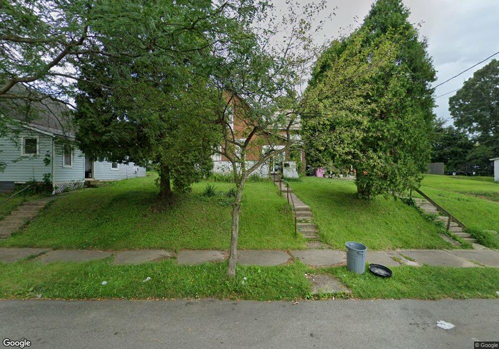
256 S Adams St Mansfield, OH 44902
Estimated Value: $60,000 - $94,000
4
Beds
2
Baths
1,456
Sq Ft
$50/Sq Ft
Est. Value
About This Home
This home is located at 256 S Adams St, Mansfield, OH 44902 and is currently estimated at $72,415, approximately $49 per square foot. 256 S Adams St is a home located in Richland County with nearby schools including St. Peter's Elementary/Montessori School, Discovery School, and St. Peter's Junior High / High School.
Ownership History
Date
Name
Owned For
Owner Type
Purchase Details
Closed on
Aug 10, 2005
Sold by
Citimortgage Inc
Bought by
Mitchell Joyce L
Current Estimated Value
Purchase Details
Closed on
May 17, 2005
Sold by
Gramly Matthew D and Bankers Trust Co Homecomings F
Bought by
Citimortgage Inc
Purchase Details
Closed on
Nov 24, 1999
Sold by
Balliett William H
Bought by
Gramly Matthew D
Home Financials for this Owner
Home Financials are based on the most recent Mortgage that was taken out on this home.
Original Mortgage
$168,750
Interest Rate
7.9%
Mortgage Type
New Conventional
Purchase Details
Closed on
Sep 1, 1985
Purchase Details
Closed on
May 1, 1985
Create a Home Valuation Report for This Property
The Home Valuation Report is an in-depth analysis detailing your home's value as well as a comparison with similar homes in the area
Home Values in the Area
Average Home Value in this Area
Purchase History
| Date | Buyer | Sale Price | Title Company |
|---|---|---|---|
| Mitchell Joyce L | $8,750 | Nova Title Agency Inc | |
| Citimortgage Inc | $20,000 | Chicago Title | |
| Gramly Matthew D | $48,000 | -- | |
| -- | $12,500 | -- | |
| -- | $6,000 | -- |
Source: Public Records
Mortgage History
| Date | Status | Borrower | Loan Amount |
|---|---|---|---|
| Previous Owner | Gramly Matthew D | $168,750 |
Source: Public Records
Tax History
| Year | Tax Paid | Tax Assessment Tax Assessment Total Assessment is a certain percentage of the fair market value that is determined by local assessors to be the total taxable value of land and additions on the property. | Land | Improvement |
|---|---|---|---|---|
| 2024 | $223 | $4,650 | $2,320 | $2,330 |
| 2023 | $223 | $4,650 | $2,320 | $2,330 |
| 2022 | $235 | $4,110 | $2,240 | $1,870 |
| 2021 | $236 | $4,110 | $2,240 | $1,870 |
| 2020 | $242 | $4,110 | $2,240 | $1,870 |
| 2019 | $229 | $3,510 | $1,900 | $1,610 |
| 2018 | $226 | $3,510 | $1,900 | $1,610 |
| 2017 | $258 | $5,070 | $1,900 | $3,170 |
| 2016 | $198 | $3,070 | $2,690 | $380 |
| 2015 | $96 | $3,070 | $2,690 | $380 |
| 2014 | $187 | $3,070 | $2,690 | $380 |
| 2012 | $173 | $3,070 | $2,690 | $380 |
Source: Public Records
Map
Nearby Homes
- 273 Hammond Ave
- 29 Ford Ave
- 22 Small Ave
- 223 Hedges St
- 167 S Adams St
- 195 Hedges St
- 203 Home Ave
- 286 S Main St
- 212 S Main St
- 28 W Blanche St
- 377 S Main St
- 146 E 1st St
- 394 S Main St
- 175 S Mulberry St
- 183 E 1st St
- 172 Crouse St
- 519 S Diamond St
- 219 Lexington Ave
- 27 Dunbilt Ct
- 0 Lot #23128 Unit 9069815
Your Personal Tour Guide
Ask me questions while you tour the home.