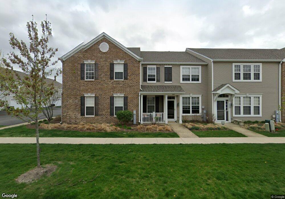
256 Springbrook Trail S Oswego, IL 60543
North Oswego NeighborhoodEstimated Value: $260,000 - $284,000
About This Home
This home is located at 256 Springbrook Trail S, Oswego, IL 60543 and is currently estimated at $272,932, approximately $184 per square foot. 256 Springbrook Trail S is a home located in Kendall County with nearby schools including Long Beach Elementary School, Plank Junior High School, and Oswego East High School.
Ownership History
We collect this data history from publicly available records. To have your information removed, we recommend requesting removal directly through your county’s website.
Purchase Details
Purchase Details
Home Financials for this Owner
Home Financials are based on the most recent Mortgage that was taken out on this home.Home Values in the Area
Average Home Value in this Area
Purchase History
We collect this data history from publicly available records. To have your information removed, we recommend requesting removal directly through your county’s website.
| Date | Buyer | Sale Price | Title Company |
|---|---|---|---|
| -- | Chicago Title | ||
| $181,000 | Chicago Title Insurance Co |
Mortgage History
We collect this data history from publicly available records. To have your information removed, we recommend requesting removal directly through your county’s website.
| Date | Status | Borrower | Loan Amount |
|---|---|---|---|
| Closed | $25,000 | ||
| Closed | $178,000 | ||
| Closed | $178,088 |
Tax History
We collect this data history from publicly available records. To have your information removed, we recommend requesting removal directly through your county’s website.
| Year | Tax Paid | Tax Assessment Tax Assessment Total Assessment is a certain percentage of the fair market value that is determined by local assessors to be the total taxable value of land and additions on the property. | Land | Improvement |
|---|---|---|---|---|
| 2025 | $6,345 | $87,526 | $18,023 | $69,503 |
| 2024 | $6,345 | $78,852 | $16,237 | $62,615 |
| 2023 | $5,787 | $68,567 | $14,119 | $54,448 |
| 2022 | $5,787 | $64,081 | $13,195 | $50,886 |
| 2021 | $5,604 | $59,889 | $12,332 | $47,557 |
| 2020 | $5,494 | $58,145 | $11,973 | $46,172 |
| 2019 | $5,581 | $58,145 | $11,973 | $46,172 |
| 2018 | $4,818 | $49,553 | $10,204 | $39,349 |
| 2017 | $4,682 | $45,671 | $9,405 | $36,266 |
| 2016 | $4,318 | $41,519 | $8,550 | $32,969 |
| 2015 | $3,389 | $37,071 | $7,634 | $29,437 |
| 2014 | -- | $34,973 | $7,202 | $27,771 |
| 2013 | -- | $38,014 | $7,828 | $30,186 |
Map
- 262 Springbrook Trail S Unit 1
- 185 Springbrook Trail S
- 0000 Fifth St
- 524 Heritage Dr
- 757 Bellevue Cir
- 527 Heritage Dr
- 464 Gloria Ln
- 828 Bohannon Cir
- 200 Brompton Ct
- 136 Saugatuck Rd
- 768 Bohannon Cir
- 305 Kensington Dr
- 772 Bohannon Cir
- 128 Saugatuck Rd
- 502 Hartford Ct
- 74 Seton Creek Dr
- 739 Bonaventure Dr
- 328 Barnaby Dr
- 201 Huntington Ct
- 741 Spires Dr
- 250 Springbrook Trail S Unit 1
- 252 Springbrook Trail S
- 248 Springbrook Trail S Unit 1
- 254 Springbrook Trail S Unit 1
- 246 Springbrook Trail S
- 216 Springbrook Trail S Unit 1
- 214 Springbrook Trail S
- 218 Springbrook Trail S Unit 1
- 218 Springbrook Trail S Unit 315
- 220 Springbrook Trail S Unit 1
- 212 Springbrook Trail S
- 258 Springbrook Trail S Unit 1
- 222 Springbrook Trail S Unit 1
- 260 Springbrook Trail S Unit 1
- 242 Springbrook Trail S Unit 1
- 244 Springbrook Trail S Unit 1
- 240 Springbrook Trail S
- 238 Springbrook Trail S
- 264 Springbrook Trail S Unit 1
- 249 Springbrook Trail S Unit 1
Ask me questions while you tour the home.