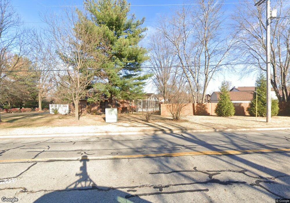
256 W Airline Dr East Alton, IL 62024
Estimated Value: $184,000 - $281,000
4
Beds
2
Baths
1,874
Sq Ft
$132/Sq Ft
Est. Value
About This Home
This home is located at 256 W Airline Dr, East Alton, IL 62024 and is currently estimated at $247,275, approximately $131 per square foot. 256 W Airline Dr is a home located in Madison County with nearby schools including Eastwood Elementary School, East Alton Middle School, and East Alton-Wood River High School.
Ownership History
Date
Name
Owned For
Owner Type
Purchase Details
Closed on
May 24, 2010
Sold by
Silkwood Staci
Bought by
Silkwood Joe
Current Estimated Value
Home Financials for this Owner
Home Financials are based on the most recent Mortgage that was taken out on this home.
Original Mortgage
$135,500
Interest Rate
4.41%
Mortgage Type
New Conventional
Purchase Details
Closed on
Jan 23, 2004
Sold by
Millican Nancy A and Millican John P
Bought by
Silkwood Joe and Silkwood Staci
Home Financials for this Owner
Home Financials are based on the most recent Mortgage that was taken out on this home.
Original Mortgage
$124,500
Interest Rate
5.2%
Mortgage Type
Purchase Money Mortgage
Create a Home Valuation Report for This Property
The Home Valuation Report is an in-depth analysis detailing your home's value as well as a comparison with similar homes in the area
Home Values in the Area
Average Home Value in this Area
Purchase History
| Date | Buyer | Sale Price | Title Company |
|---|---|---|---|
| Silkwood Joe | -- | Multiple | |
| Silkwood Joe | $156,000 | Abstracts & Titles Inc |
Source: Public Records
Mortgage History
| Date | Status | Borrower | Loan Amount |
|---|---|---|---|
| Closed | Silkwood Joe | $135,500 | |
| Closed | Silkwood Joe | $124,500 |
Source: Public Records
Tax History Compared to Growth
Tax History
| Year | Tax Paid | Tax Assessment Tax Assessment Total Assessment is a certain percentage of the fair market value that is determined by local assessors to be the total taxable value of land and additions on the property. | Land | Improvement |
|---|---|---|---|---|
| 2024 | $6,739 | $72,890 | $9,930 | $62,960 |
| 2023 | $6,739 | $67,950 | $9,260 | $58,690 |
| 2022 | $6,355 | $62,720 | $8,550 | $54,170 |
| 2021 | $5,937 | $58,460 | $7,970 | $50,490 |
| 2020 | $5,734 | $56,310 | $7,680 | $48,630 |
| 2019 | $5,658 | $54,630 | $7,450 | $47,180 |
| 2018 | $5,529 | $51,910 | $7,080 | $44,830 |
| 2017 | $5,274 | $50,670 | $6,910 | $43,760 |
| 2016 | $5,116 | $50,670 | $6,910 | $43,760 |
| 2015 | $4,892 | $50,140 | $6,840 | $43,300 |
| 2014 | $4,892 | $50,140 | $6,840 | $43,300 |
| 2013 | $4,892 | $50,860 | $6,940 | $43,920 |
Source: Public Records
Map
Nearby Homes
- 250 Hi Pointe Place
- 283 Hi Pointe Place
- 141 S 9th St
- 144 S 9th St
- 211 S 9th St
- 14 Dell Ave
- 604 Wood River Ave
- 345 Illinois Ave
- 225 Lakeside Ave
- 417 California Ave
- 523 Lincoln Ave
- 959 Cedar Dr
- 104 Whitelaw Ave
- 519 Sullivan St
- 121 Whitelaw Ave
- 420 Bowman Ave
- 523 Wilson Ave
- 98 Wood River Ave
- 207 Stolze Dr
- 133 Lincoln Ave
- 258 W Airline Dr
- 254 W Airline Dr
- 105 Riverwoods Cove
- 101 Riverwoods Cove
- 109 Riverwoods Cove
- 113 Riverwoods Cove
- 117 Riverwoods Cove
- 201 Riverwoods Cove
- 205 Riverwoods Cove
- 106 Riverwoods Cove
- 225 W Airline Dr
- 260 W Airline Dr
- 108 Riverwoods Cove
- 116 Riverwoods Cove
- 241 W Airline Dr
- 217 W Airline Dr
- 209 Riverwoods Cove
- 112 Riverwoods Cove
- 233 W Airline Dr
- 120 Riverwoods Cove