256 W Burnt Point Trail Payson, AZ 85541
Estimated Value: $285,000 - $697,000
--
Bed
--
Bath
600
Sq Ft
$657/Sq Ft
Est. Value
About This Home
This home is located at 256 W Burnt Point Trail, Payson, AZ 85541 and is currently estimated at $394,099, approximately $656 per square foot. 256 W Burnt Point Trail is a home with nearby schools including Julia Randall Elementary School, Payson Elementary School, and Rim Country Middle School.
Ownership History
Date
Name
Owned For
Owner Type
Purchase Details
Closed on
Sep 12, 2013
Sold by
Moser Clay A
Bought by
Castro Felipe De Jesus and Castro Rebecca
Current Estimated Value
Home Financials for this Owner
Home Financials are based on the most recent Mortgage that was taken out on this home.
Original Mortgage
$40,500
Outstanding Balance
$30,175
Interest Rate
4.36%
Estimated Equity
$363,924
Purchase Details
Closed on
Oct 24, 2007
Sold by
Moser Belle
Bought by
Moser Clay A
Create a Home Valuation Report for This Property
The Home Valuation Report is an in-depth analysis detailing your home's value as well as a comparison with similar homes in the area
Home Values in the Area
Average Home Value in this Area
Purchase History
| Date | Buyer | Sale Price | Title Company |
|---|---|---|---|
| Castro Felipe De Jesus | $45,000 | Pioneer Title Agency Inc | |
| Moser Clay A | -- | None Available |
Source: Public Records
Mortgage History
| Date | Status | Borrower | Loan Amount |
|---|---|---|---|
| Open | Castro Felipe De Jesus | $40,500 |
Source: Public Records
Tax History Compared to Growth
Tax History
| Year | Tax Paid | Tax Assessment Tax Assessment Total Assessment is a certain percentage of the fair market value that is determined by local assessors to be the total taxable value of land and additions on the property. | Land | Improvement |
|---|---|---|---|---|
| 2025 | $1,557 | -- | -- | -- |
| 2024 | $1,557 | $20,533 | $4,713 | $15,820 |
| 2023 | $1,557 | $12,938 | $4,160 | $8,778 |
| 2022 | $1,492 | $11,387 | $3,572 | $7,815 |
| 2021 | $1,444 | $17,081 | $5,358 | $11,723 |
| 2020 | $1,243 | $0 | $0 | $0 |
| 2019 | $1,281 | $0 | $0 | $0 |
| 2018 | $1,085 | $0 | $0 | $0 |
| 2017 | $674 | $0 | $0 | $0 |
| 2016 | $657 | $0 | $0 | $0 |
| 2015 | $667 | $0 | $0 | $0 |
Source: Public Records
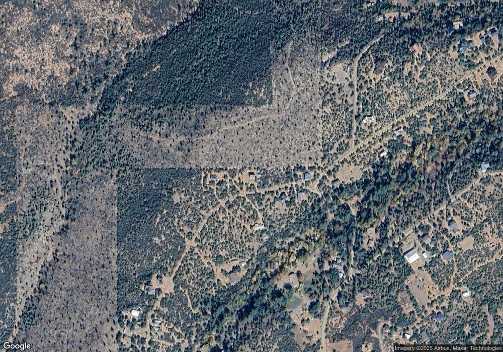
Map
Nearby Homes
- 41&42 Antelope Trail Rd
- 167 E Belluzzi Blvd
- 134 E Belluzzi Blvd
- 424 W Blackberry Ln
- 11180 N Houston Mesa Rd
- 11180 N Houton Mesa Rd Unit 77
- 10755 N Houston Mesa Rd Unit Parcel 1-B
- 383 W Diamond Rd
- 247 W Diamond Rd
- 287 S Lookout Trail
- 616 S Verde Place
- 989 W Verde Rd
- 2 Zane Meadows
- 861 S Palomino Way
- 702 S Palomino Dr
- 1040 S Palomino Place
- 709 W Old Pine Trail
- 170 S Park Rd
- 175 N Windy Grove Cir
- 1010 W Johnson Blvd
- 275 W Burnt Point Trail
- 228 W Burnt Point Trail
- 258 W Burnt Point Trail
- 208 W Burnt Point Trail
- 112 N Big Als Run
- 42 Bonita Creek Dr Unit 42
- 38 Big Als Run Unit 38
- 52 Big Als Run Unit 52
- 41 Bonita Creek Dr Unit 42
- 135 N Big Als Run
- 53 Bonita Creek Dr
- 53 Bonita Creek Dr Unit 53
- 180 N Big Als Run
- 318 W Burnt Point Trail
- 166 N Myrtle Point Trail
- 112 W Burnt Point Trail
- 123 W Burnt Point Trail
- 36 Bonita Creek Rd Unit 36G
- 215 N Big Als Run
- 480 N Big Als Run