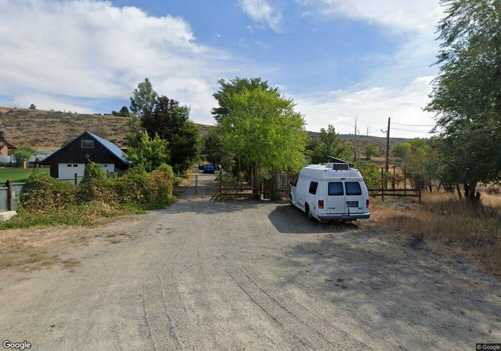
256 Waring St Winthrop, WA 98862
Estimated Value: $632,107 - $736,000
2
Beds
2
Baths
988
Sq Ft
$714/Sq Ft
Est. Value
About This Home
This home is located at 256 Waring St, Winthrop, WA 98862 and is currently estimated at $705,027, approximately $713 per square foot. 256 Waring St is a home located in Okanogan County with nearby schools including Methow Valley Elementary School, Liberty Bell Junior/Senior High School, and Methow Valley Independent Learning Center.
Ownership History
Date
Name
Owned For
Owner Type
Purchase Details
Closed on
Jan 23, 2024
Sold by
Longino-Dekalb Sarah M and Longino-Dekalb Michael D
Bought by
Waring Street Rentals Llc
Current Estimated Value
Purchase Details
Closed on
Feb 15, 2012
Sold by
Delbrook April C
Bought by
Roy Michael D and Longino Dekalb Sarah M
Home Financials for this Owner
Home Financials are based on the most recent Mortgage that was taken out on this home.
Original Mortgage
$25,561
Interest Rate
3.86%
Mortgage Type
New Conventional
Purchase Details
Closed on
Nov 7, 2005
Sold by
Owens Dylan T
Bought by
Delbrook April C
Create a Home Valuation Report for This Property
The Home Valuation Report is an in-depth analysis detailing your home's value as well as a comparison with similar homes in the area
Home Values in the Area
Average Home Value in this Area
Purchase History
| Date | Buyer | Sale Price | Title Company |
|---|---|---|---|
| Waring Street Rentals Llc | -- | None Listed On Document | |
| Roy Michael D | $190,000 | Inland Professional Title | |
| Delbrook April C | -- | None Available |
Source: Public Records
Mortgage History
| Date | Status | Borrower | Loan Amount |
|---|---|---|---|
| Previous Owner | Roy Michael D | $25,561 |
Source: Public Records
Tax History Compared to Growth
Tax History
| Year | Tax Paid | Tax Assessment Tax Assessment Total Assessment is a certain percentage of the fair market value that is determined by local assessors to be the total taxable value of land and additions on the property. | Land | Improvement |
|---|---|---|---|---|
| 2025 | $3,869 | $523,900 | $119,300 | $404,600 |
| 2024 | $3,869 | $492,700 | $119,300 | $373,400 |
| 2022 | $3,394 | $312,300 | $74,300 | $238,000 |
| 2021 | $3,601 | $312,300 | $74,300 | $238,000 |
| 2020 | $2,932 | $312,300 | $74,300 | $238,000 |
| 2019 | $2,173 | $199,200 | $74,300 | $124,900 |
| 2018 | $2,353 | $199,200 | $74,300 | $124,900 |
| 2017 | $2,068 | $199,200 | $74,300 | $124,900 |
| 2016 | $1,677 | $165,500 | $57,900 | $107,600 |
| 2015 | $1,546 | $165,500 | $57,900 | $107,600 |
| 2013 | -- | $165,500 | $57,900 | $107,600 |
Source: Public Records
Map
Nearby Homes
- 506 Lufkin Ln
- 404 Bluff St
- 238 Castle Ave
- 615 Pine Loop
- 600 W Chewuch Rd
- 81 W Chewuch Rd
- 8 Deer Trails Way
- 25 Deer Trails Way
- 816 Castle Ave
- 47 Bella Vista Ln
- 5 N Apple Way
- 920 Castle Ave
- 14 N Maughans River Rd
- 99 Hilltop Dr
- 302 Cascadian Ct Unit 18
- 88 Horizon Flat Rd
- 9 tbd Cascadian Way
- 0 Wolf Creek Rd
- 67 Northcott Rd
- 18 Wild Rose Rd
