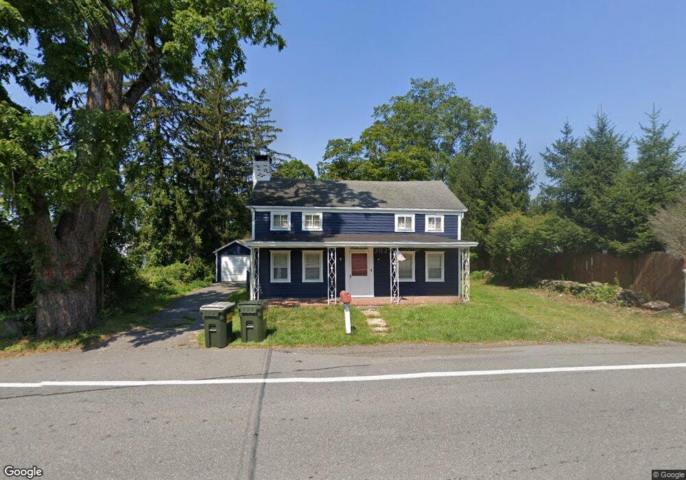
256 Westchester Ave Pound Ridge, NY 10576
Estimated Value: $656,863 - $990,000
4
Beds
3
Baths
2,180
Sq Ft
$357/Sq Ft
Est. Value
About This Home
This home is located at 256 Westchester Ave, Pound Ridge, NY 10576 and is currently estimated at $777,716, approximately $356 per square foot. 256 Westchester Ave is a home located in Westchester County with nearby schools including Pound Ridge Elementary School, Fox Lane Middle School, and Fox Lane High School.
Ownership History
Date
Name
Owned For
Owner Type
Purchase Details
Closed on
Dec 1, 2018
Sold by
The County Of Westchester
Bought by
Paulino Paul M
Current Estimated Value
Home Financials for this Owner
Home Financials are based on the most recent Mortgage that was taken out on this home.
Original Mortgage
$261,250
Outstanding Balance
$230,167
Interest Rate
4.8%
Mortgage Type
New Conventional
Estimated Equity
$547,549
Purchase Details
Closed on
Aug 11, 2016
Sold by
Fulves Diane L
Bought by
County Of Westchester
Create a Home Valuation Report for This Property
The Home Valuation Report is an in-depth analysis detailing your home's value as well as a comparison with similar homes in the area
Home Values in the Area
Average Home Value in this Area
Purchase History
| Date | Buyer | Sale Price | Title Company |
|---|---|---|---|
| Paulino Paul M | $439,774 | None Available | |
| County Of Westchester | $435,000 | All New York Title |
Source: Public Records
Mortgage History
| Date | Status | Borrower | Loan Amount |
|---|---|---|---|
| Open | Paulino Paul M | $261,250 |
Source: Public Records
Tax History Compared to Growth
Tax History
| Year | Tax Paid | Tax Assessment Tax Assessment Total Assessment is a certain percentage of the fair market value that is determined by local assessors to be the total taxable value of land and additions on the property. | Land | Improvement |
|---|---|---|---|---|
| 2024 | $5,908 | $41,107 | $20,000 | $21,107 |
| 2023 | $5,998 | $44,466 | $20,000 | $24,466 |
| 2022 | $6,788 | $46,685 | $20,000 | $26,685 |
| 2021 | $6,421 | $55,261 | $20,000 | $35,261 |
| 2020 | $6,218 | $52,940 | $20,000 | $32,940 |
| 2019 | $6,203 | $50,765 | $20,000 | $30,765 |
| 2018 | $3,838 | $49,033 | $20,000 | $29,033 |
| 2017 | $0 | $49,033 | $20,000 | $29,033 |
| 2016 | $8,032 | $69,000 | $20,000 | $49,000 |
| 2015 | -- | $69,000 | $20,000 | $49,000 |
| 2014 | -- | $69,000 | $20,000 | $49,000 |
| 2013 | -- | $69,000 | $20,000 | $49,000 |
Source: Public Records
Map
Nearby Homes
- 27 West Ln
- 25 Col Sheldon Ln
- 49 Indian Hill Rd
- 23 Tatomuck Rd
- 24 Twin Fawn Ln
- 229 Trinity Pass Rd
- 51 Major Lockwood Ln
- 0 Brook Farm Rd E
- 54 Old Stone Hill Rd
- 100 Salem Rd
- 9 Old Corner Rd
- 28 Heron Lake Rd
- 98 Eastwoods Rd
- 56 Brook Farm Ln
- 21 Spring House Rd
- 17 Spring House Rd
- 33 Peters Ln
- 180 Stone Hill Rd
- 32 Joshua Hobby Ln
- 22 Joshua Hobby Ln
- 1 Pound Ridge Rd
- 258 Westchester Ave
- 253 Westchester Ave
- 259 Westchester Ave
- 261 Westchester Ave
- 251 Westchester Ave
- 266 Westchester Ave
- 263 Westchester Ave
- 4 Pound Ridge Rd Unit 2
- 4 Pound Ridge Rd Unit 1
- 4 Pound Ridge Rd
- 265 Westchester Ave
- 270 Westchester Ave
- 0 Westchester Ave Unit H4713560
- 0 Westchester Ave Unit H5041703
- 0 Westchester Ave Unit H5064470
- 0 Westchester Ave
- 6 Old Pound Rd
- 267 Westchester Ave
- 11 Pound Ridge Rd