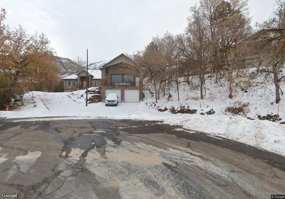
2560 E 2050 N Unit 28 Layton, UT 84040
Estimated Value: $647,000 - $800,181
2
Beds
2
Baths
2,287
Sq Ft
$322/Sq Ft
Est. Value
About This Home
This home is located at 2560 E 2050 N Unit 28, Layton, UT 84040 and is currently estimated at $736,045, approximately $321 per square foot. 2560 E 2050 N Unit 28 is a home located in Davis County with nearby schools including East Layton Elementary School, Central Davis Junior High School, and Northridge High School.
Ownership History
Date
Name
Owned For
Owner Type
Purchase Details
Closed on
Aug 27, 2025
Sold by
Dean F Luddington Trust and Mary Carol Luddington Trust
Bought by
Kofford Craig D and Kofford Sharon L
Current Estimated Value
Purchase Details
Closed on
Jun 10, 2004
Sold by
Luddington Dean F and Luddington Mary Carol
Bought by
Luddington Dean F and Luddington Mary Carol
Purchase Details
Closed on
Jan 19, 2001
Sold by
Kofford Craig D and Kofford Sharon
Bought by
Luddington Dean F and Luddington Mary Carol
Purchase Details
Closed on
Apr 28, 1999
Sold by
Sutton David L
Bought by
Kofford Craig D and Kofford Sharon
Create a Home Valuation Report for This Property
The Home Valuation Report is an in-depth analysis detailing your home's value as well as a comparison with similar homes in the area
Home Values in the Area
Average Home Value in this Area
Purchase History
| Date | Buyer | Sale Price | Title Company |
|---|---|---|---|
| Kofford Craig D | -- | First American Title Insurance | |
| Luddington Dean F | -- | -- | |
| Luddington Dean F | -- | -- | |
| Kofford Craig D | -- | Founders Title Co | |
| Kofford Craig D | -- | Founders Title Co | |
| Sutton David L | -- | Founders Title Co |
Source: Public Records
Tax History
| Year | Tax Paid | Tax Assessment Tax Assessment Total Assessment is a certain percentage of the fair market value that is determined by local assessors to be the total taxable value of land and additions on the property. | Land | Improvement |
|---|---|---|---|---|
| 2025 | $4,129 | $398,200 | $193,591 | $204,609 |
| 2024 | $3,858 | $377,299 | $204,532 | $172,767 |
| 2023 | $3,966 | $381,150 | $138,161 | $242,988 |
| 2022 | $4,070 | $706,000 | $248,767 | $457,233 |
| 2021 | $3,687 | $523,000 | $211,602 | $311,398 |
| 2020 | $3,367 | $457,000 | $185,380 | $271,620 |
| 2019 | $3,265 | $436,000 | $162,477 | $273,523 |
| 2018 | $3,361 | $453,000 | $138,098 | $314,902 |
| 2016 | $3,031 | $213,950 | $70,195 | $143,755 |
| 2015 | $2,915 | $196,515 | $70,195 | $126,320 |
| 2014 | $1,783 | $121,707 | $70,195 | $51,512 |
| 2013 | -- | $93,187 | $40,119 | $53,068 |
Source: Public Records
Map
Nearby Homes
- 1954 N 2600 E
- 2563 E 2250 N
- 2136 N 2800 E
- 2547 E 1900 N
- 2509 E 1900 N
- 2391 Kays Creek Dr
- 1907 N Bridge Ct
- 1960 N 2150 E
- 2569 N 2900 E
- 2597 N 2300 E
- 2340 N 2050 E
- 2273 N 1975 E
- 1752 N Valley View Dr
- 2231 N Valley View Dr
- 1870 N Valley View Dr Unit 201
- 2189 N 1950 E
- 1332 N 2350 E
- 2124 E Cherry Ln
- 1843 Hayes Dr
- 2353 Canyon View Dr
- 2560 E 2050 N
- 2561 E 2050 N
- 2559 E 2050 N
- 2040 N 2700 E
- 2037 N 2700 E
- 2612 E Antelope Dr
- 2558 E 2050 N
- 2586 E Antelope Dr
- 2628 E Antelope Dr
- 2042 N 2700 E
- 2557 E 2050 N
- 2035 N 2700 E
- 2646 E Antelope Dr
- 2555 E 2050 N
- 2555 E 2050 N Unit 32
- 2556 E 2050 N
- 2044 N 2700 E
- 2719 E Oak Ln
- 2664 E Antelope Dr
- 2699 Oak Ln
Your Personal Tour Guide
Ask me questions while you tour the home.