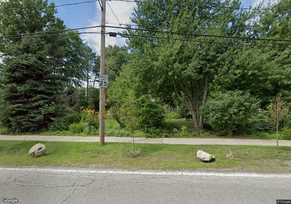
2560 Glenridge Rd Euclid, OH 44117
Estimated Value: $200,000 - $281,391
2
Beds
2
Baths
2,327
Sq Ft
$101/Sq Ft
Est. Value
About This Home
This home is located at 2560 Glenridge Rd, Euclid, OH 44117 and is currently estimated at $234,848, approximately $100 per square foot. 2560 Glenridge Rd is a home located in Cuyahoga County with nearby schools including Bluestone Elementary School, Euclid Middle School, and Euclid High School.
Ownership History
Date
Name
Owned For
Owner Type
Purchase Details
Closed on
Mar 18, 2002
Sold by
Derrickson Kimberly A and Derrickson Mark I
Bought by
Derrickson Mark I
Current Estimated Value
Home Financials for this Owner
Home Financials are based on the most recent Mortgage that was taken out on this home.
Original Mortgage
$132,000
Interest Rate
6.93%
Purchase Details
Closed on
Mar 10, 1994
Sold by
Sayatovic Helen A
Bought by
Derrickson Kimberly A
Purchase Details
Closed on
Jan 1, 1975
Bought by
Sayatovic Helen A
Create a Home Valuation Report for This Property
The Home Valuation Report is an in-depth analysis detailing your home's value as well as a comparison with similar homes in the area
Home Values in the Area
Average Home Value in this Area
Purchase History
| Date | Buyer | Sale Price | Title Company |
|---|---|---|---|
| Derrickson Mark I | -- | -- | |
| Derrickson Kimberly A | $95,000 | -- | |
| Sayatovic Helen A | -- | -- |
Source: Public Records
Mortgage History
| Date | Status | Borrower | Loan Amount |
|---|---|---|---|
| Previous Owner | Derrickson Mark I | $132,000 |
Source: Public Records
Tax History Compared to Growth
Tax History
| Year | Tax Paid | Tax Assessment Tax Assessment Total Assessment is a certain percentage of the fair market value that is determined by local assessors to be the total taxable value of land and additions on the property. | Land | Improvement |
|---|---|---|---|---|
| 2024 | $5,622 | $82,460 | $23,380 | $59,080 |
| 2023 | $6,375 | $75,390 | $16,310 | $59,080 |
| 2022 | $6,227 | $75,390 | $16,310 | $59,080 |
| 2021 | $6,945 | $75,390 | $16,310 | $59,080 |
| 2020 | $5,808 | $57,120 | $12,360 | $44,770 |
| 2019 | $5,235 | $163,200 | $35,300 | $127,900 |
| 2018 | $5,159 | $57,120 | $12,360 | $44,770 |
| 2017 | $5,465 | $49,140 | $17,500 | $31,640 |
| 2016 | $5,478 | $49,140 | $17,500 | $31,640 |
| 2015 | $4,979 | $49,140 | $17,500 | $31,640 |
| 2014 | $4,979 | $49,140 | $17,500 | $31,640 |
Source: Public Records
Map
Nearby Homes
- 4188 Glenridge Rd
- 4031 Suffolk Rd
- 4002 Lancaster Rd
- 220 Greenvale Rd
- 2536 Greenvale Rd
- 4450 Habersham Ln S Unit 201
- 660 Parkside Blvd
- 237 Greenbriar Ct Unit F237
- 209 Greenbriar Ct
- 502 Jeannette Dr
- 2441 Malden Rd
- 24801 Highland Rd
- 4019 Princeton Blvd
- 4495 Ammon Rd
- 2150 Glenridge Rd
- 3803 Bridgeview Dr
- 862 Keystone Dr
- 3898 Salisbury Rd
- 3790 Sherwood Rd
- 3867 Covington Rd
- 2550 Glenridge Rd
- 2530 Glenridge Rd
- 2510 Glenridge Rd
- 2500 Glenridge Rd
- 2490 Glenridge Rd
- 2480 Glenridge Rd
- 2470 Glenridge Rd
- 2460 Glenridge Rd
- 2450 Glenridge Rd
- 295 S Green Rd
- 291 S Green Rd
- 285 S Green Rd
- 303 S Green Rd
- 279 S Green Rd
- 321 S Green Rd
- 327 S Green Rd
- 263 S Green Rd
- 333 S Green Rd
- 2440 Glenridge Rd
- 257 S Green Rd
