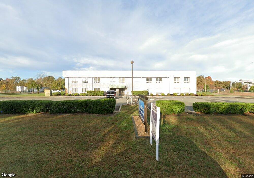
2560 Industrial Way Vineland, NJ 08360
Estimated Value: $2,163,693
--
Bed
--
Bath
--
Sq Ft
4.11
Acres
About This Home
This home is located at 2560 Industrial Way, Vineland, NJ 08360 and is currently estimated at $2,163,693. 2560 Industrial Way is a home located in Cumberland County with nearby schools including Marie D. Durand Elementary School, T.W. Wallace Middle School, and Vineland Senior High School.
Ownership History
Date
Name
Owned For
Owner Type
Purchase Details
Closed on
Dec 21, 2009
Sold by
Aliano Brothers Land Management Gp
Bought by
Medved Llc
Current Estimated Value
Home Financials for this Owner
Home Financials are based on the most recent Mortgage that was taken out on this home.
Original Mortgage
$725,000
Interest Rate
5.05%
Mortgage Type
Commercial
Purchase Details
Closed on
Jul 13, 1999
Sold by
City Pf Vineland
Bought by
Aliano Brother'S Land Mgmt
Create a Home Valuation Report for This Property
The Home Valuation Report is an in-depth analysis detailing your home's value as well as a comparison with similar homes in the area
Home Values in the Area
Average Home Value in this Area
Purchase History
| Date | Buyer | Sale Price | Title Company |
|---|---|---|---|
| Medved Llc | $1,150,000 | -- | |
| Aliano Brother'S Land Mgmt | $61,650 | -- |
Source: Public Records
Mortgage History
| Date | Status | Borrower | Loan Amount |
|---|---|---|---|
| Previous Owner | Medved Llc | $725,000 |
Source: Public Records
Tax History Compared to Growth
Tax History
| Year | Tax Paid | Tax Assessment Tax Assessment Total Assessment is a certain percentage of the fair market value that is determined by local assessors to be the total taxable value of land and additions on the property. | Land | Improvement |
|---|---|---|---|---|
| 2025 | $31,019 | $974,200 | $112,500 | $861,700 |
| 2024 | $31,019 | $974,200 | $112,500 | $861,700 |
| 2023 | $30,814 | $974,200 | $112,500 | $861,700 |
| 2022 | $29,898 | $974,200 | $112,500 | $861,700 |
| 2021 | $29,353 | $974,200 | $112,500 | $861,700 |
| 2020 | $28,515 | $974,200 | $112,500 | $861,700 |
| 2019 | $28,125 | $974,200 | $112,500 | $861,700 |
| 2018 | $27,385 | $974,200 | $112,500 | $861,700 |
| 2017 | $26,011 | $974,200 | $112,500 | $861,700 |
| 2016 | $25,095 | $974,200 | $112,500 | $861,700 |
| 2015 | $24,170 | $974,200 | $112,500 | $861,700 |
| 2014 | $22,855 | $974,200 | $112,500 | $861,700 |
Source: Public Records
Map
Nearby Homes
- 1469 N Mill Rd
- 47 Maple Shade Ln
- 70 Steinfeld Ave
- 829 W Garden Rd
- 1252 W Oak Rd
- 1811 N Delsea Dr Unit 4
- 0 Levishohn St
- L 1 & 1.01 Shiff Ave
- 1489 N Delsea Dr
- 2851 Nicolette Ct
- 834 Gershal Ave
- 3332 N Delsea Dr
- 1887 N Delsea Dr Unit 39
- 1887 N Delsea Dr Unit 135 HOLLY HOCK DR.
- 1887 N Delsea Dr Unit 19
- 3397 N Delsea Dr
- 733 W Forest Grove Rd
- 663 Wayne Ave
- 2246 N West Ave
- 659 W Forest Grove Rd
- 2560 Industrial Way Unit B
- 2560 Industrial Way Unit C
- 2800 Industrial Way Unit 3
- 2800 Industrial Way Unit 1
- 2059 Maurice River Pkwy
- 1921 Maurice River Pkwy
- 2033 Maurice River Pkwy
- 2009 Maurice River Pkwy
- 1891 Maurice River Pkwy
- 2169 Maurice River Pkwy
- 2101 Maurice River Pkwy
- 1963 Maurice River Pkwy
- 1941 Maurice River Pkwy
- 1855 Maurice River Pkwy
- 2050 Maurice River Pkwy
- 1920 Maurice River Pkwy
- 2000 Maurice River Pkwy
- 2281 W Garden Rd
- 2100 Maurice River Pkwy
- 2130 Maurice River Pkwy