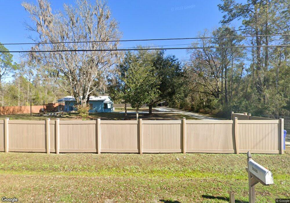
2560 Joe Ashton Rd Saint Augustine, FL 32092
Estimated Value: $269,756 - $328,000
2
Beds
2
Baths
672
Sq Ft
$455/Sq Ft
Est. Value
About This Home
This home is located at 2560 Joe Ashton Rd, Saint Augustine, FL 32092 and is currently estimated at $305,439, approximately $454 per square foot. 2560 Joe Ashton Rd is a home located in St. Johns County with nearby schools including Picolata Crossing Elementary School and Pacetti Bay Middle School.
Ownership History
Date
Name
Owned For
Owner Type
Purchase Details
Closed on
Nov 26, 2019
Sold by
Antonio Kathleen Bernadette
Bought by
Antonio Real Estate Investments Llc
Current Estimated Value
Purchase Details
Closed on
Feb 15, 2019
Sold by
Mara Jennifer
Bought by
Antonio Kathleen Bernadette
Purchase Details
Closed on
Feb 13, 2019
Sold by
Boles Joseph L and Estate Of Paul Richard Ordini
Bought by
Mara Jennifer
Purchase Details
Closed on
Jun 2, 2014
Sold by
Ordini Paul Richard
Bought by
Ordini Paul Richard and Mara Jennifer Monica
Purchase Details
Closed on
Mar 14, 2011
Sold by
Pennock Brenda Jean and Miller Kathy J
Bought by
Ordini Paul Richard
Purchase Details
Closed on
Feb 10, 2011
Sold by
Pennock James Michael
Bought by
Ordini Paul Richard
Purchase Details
Closed on
Jan 17, 2003
Sold by
Pennock Family Partnership
Bought by
Pennock Brenda Jean and Miller Kathy J
Create a Home Valuation Report for This Property
The Home Valuation Report is an in-depth analysis detailing your home's value as well as a comparison with similar homes in the area
Home Values in the Area
Average Home Value in this Area
Purchase History
| Date | Buyer | Sale Price | Title Company |
|---|---|---|---|
| Antonio Real Estate Investments Llc | -- | None Available | |
| Antonio Kathleen Bernadette | $90,000 | Land Title Of America Inc | |
| Mara Jennifer | -- | Attorney | |
| Ordini Paul Richard | -- | Attorney | |
| Ordini Paul Richard | $110,000 | Land Title Of America Inc | |
| Ordini Paul Richard | $110,000 | Land Title Of America Inc | |
| Pennock Brenda Jean | -- | -- |
Source: Public Records
Tax History Compared to Growth
Tax History
| Year | Tax Paid | Tax Assessment Tax Assessment Total Assessment is a certain percentage of the fair market value that is determined by local assessors to be the total taxable value of land and additions on the property. | Land | Improvement |
|---|---|---|---|---|
| 2025 | $2,018 | $146,599 | -- | -- |
| 2024 | $2,018 | $182,989 | $100,000 | $82,989 |
| 2023 | $2,018 | $162,900 | $78,400 | $84,500 |
| 2022 | $1,870 | $150,999 | $78,400 | $72,599 |
| 2021 | $1,548 | $100,129 | $0 | $0 |
| 2020 | $1,616 | $104,115 | $0 | $0 |
| 2019 | $1,506 | $91,416 | $0 | $0 |
| 2018 | $719 | $72,919 | $0 | $0 |
| 2017 | $722 | $71,419 | $0 | $0 |
| 2016 | $727 | $72,048 | $0 | $0 |
| 2015 | $740 | $71,548 | $0 | $0 |
| 2014 | $743 | $70,980 | $0 | $0 |
Source: Public Records
Map
Nearby Homes
- 2634 Joe Ashton Rd
- 111 Bird Watch Ct
- 107 Seasons Ct
- 110 Wilgrove Place
- 348 Field Flower Way
- 624 Farmfield Dr
- 190 Bluegrass Way
- 584 Farmfield Dr
- 442 Farmfield Dr
- 2459 Trailmark Dr
- 2477 Trailmark Dr
- 109 White Rabbit Run
- 331 Back Creek Dr
- 92 Bluegrass Way
- 523 Farmfield Dr
- 531 Farmfield Dr
- 24 Pepperpike Way
- 560 Farmfield Dr
- 551 Farmfield Dr
- 592 Farmfield Dr
- 2570 Joe Ashton Rd
- 2590 Joe Ashton Rd
- 2600 Joe Ashton Rd
- 2614 Joe Ashton Rd
- 2510 Joe Ashton Rd
- 2690 Joe Ashton Rd
- 2665 Joe Ashton Rd
- 2505 Joe Ashton Rd
- 2555 Joe Ashton Rd
- 2635 Joe Ashton Rd
- 2635 Joe Ashton Rd
- 2635 Joe Ashton Rd
- 2635 Joe Ashton Rd
- 2485 Joe Ashton Rd
- 2615 Joe Ashton Rd
- 333 Field Flower Way
- 341 Field Flower Way
- 2740 Joe Ashton Rd
- 351 Field Flower Way
- 2535 Joe Ashton Rd