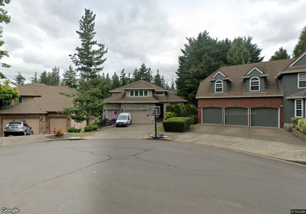
2560 Kensington Ct West Linn, OR 97068
Tanner Basin NeighborhoodEstimated Value: $1,198,000 - $1,660,000
4
Beds
8
Baths
3,926
Sq Ft
$353/Sq Ft
Est. Value
About This Home
This home is located at 2560 Kensington Ct, West Linn, OR 97068 and is currently estimated at $1,385,393, approximately $352 per square foot. 2560 Kensington Ct is a home located in Clackamas County with nearby schools including Trillium Creek Primary School, Rosemont Ridge Middle School, and West Linn High School.
Ownership History
Date
Name
Owned For
Owner Type
Purchase Details
Closed on
Sep 29, 2014
Sold by
Virgin Kenneth A and Virgin Mary J
Bought by
Virgin Family Trust
Current Estimated Value
Purchase Details
Closed on
Jun 4, 1999
Sold by
Renaissance Custom Homes Inc
Bought by
Virgin Kenneth A and Virgin Mary J
Home Financials for this Owner
Home Financials are based on the most recent Mortgage that was taken out on this home.
Original Mortgage
$350,000
Outstanding Balance
$89,386
Interest Rate
6.9%
Estimated Equity
$1,296,008
Create a Home Valuation Report for This Property
The Home Valuation Report is an in-depth analysis detailing your home's value as well as a comparison with similar homes in the area
Home Values in the Area
Average Home Value in this Area
Purchase History
| Date | Buyer | Sale Price | Title Company |
|---|---|---|---|
| Virgin Family Trust | -- | None Available | |
| Virgin Kenneth A | $452,451 | Oregon Title Insurance Co |
Source: Public Records
Mortgage History
| Date | Status | Borrower | Loan Amount |
|---|---|---|---|
| Open | Virgin Kenneth A | $350,000 |
Source: Public Records
Tax History Compared to Growth
Tax History
| Year | Tax Paid | Tax Assessment Tax Assessment Total Assessment is a certain percentage of the fair market value that is determined by local assessors to be the total taxable value of land and additions on the property. | Land | Improvement |
|---|---|---|---|---|
| 2025 | $14,744 | $765,061 | -- | -- |
| 2024 | $14,192 | $742,778 | -- | -- |
| 2023 | $14,192 | $721,144 | $0 | $0 |
| 2022 | $13,396 | $700,140 | $0 | $0 |
| 2021 | $12,716 | $679,748 | $0 | $0 |
| 2020 | $12,802 | $659,950 | $0 | $0 |
| 2019 | $12,209 | $640,729 | $0 | $0 |
| 2018 | $11,663 | $622,067 | $0 | $0 |
| 2017 | $11,018 | $603,949 | $0 | $0 |
| 2016 | $10,725 | $586,358 | $0 | $0 |
| 2015 | $10,036 | $569,280 | $0 | $0 |
| 2014 | $9,586 | $552,699 | $0 | $0 |
Source: Public Records
Map
Nearby Homes
- 23136 Bland Cir
- 23019 Bland Cir
- 2378 Falcon Dr
- 2037 De Vries Way
- 2025 De Vries Way
- 2762 Dahlia Dr
- 22872 Weatherhill Rd
- 1808 Hall Ct
- 2201 Satter St
- 6735 Summerlinn Way Unit 87
- 2285 Satter St
- 6505 Summerlinn Way Unit 79
- 4650 Summerlinn Way
- 6840 Summerlinn Way Unit 93
- 4630 Summerlinn Way
- 2050 Alpine Dr
- 3486 Chaparrel Loop
- 3850 Summerlinn Dr Unit 58
- 3496 Chaparrel Loop
- 1925 Hall St
- 2550 Kensington Ct
- 2570 Kensington Ct
- 2275 Tannler Dr
- 2275 SW Tannler
- 2255 Tannler Dr
- 2285 SW Tannler
- 2285 Tannler Dr
- 2265 SW Tannler
- 2265 Tannler Dr
- 2580 Kensington Ct
- 2520 Remington Dr
- 2295 Tannler Dr
- 2584 Kensington Ct
- 2575 Kensington Ct
- 2575 Relisted Dont Call
- 2235 Tannler Dr
- 2575 Kensington Ct 3 7bac
- 2585 Kensington Ct
- 2225 Tannler Dr
- 0 Remington Dr Unit 3000634