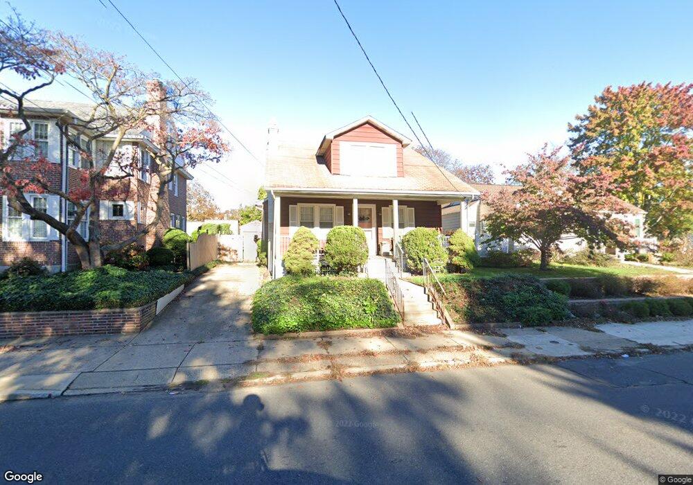
2560 Liberty St Trenton, NJ 08629
Estimated Value: $296,000 - $390,000
--
Bed
--
Bath
1,428
Sq Ft
$240/Sq Ft
Est. Value
About This Home
This home is located at 2560 Liberty St, Trenton, NJ 08629 and is currently estimated at $342,715, approximately $239 per square foot. 2560 Liberty St is a home located in Mercer County with nearby schools including Kuser Elementary School, Emily C. Reynolds Middle School, and Steinert - Hamilton High East.
Ownership History
Date
Name
Owned For
Owner Type
Purchase Details
Closed on
Sep 13, 2019
Sold by
Buker Rosemarie F and Zak Victoria A
Bought by
Zak Barbara Ann and Mathieson Robert Alan
Current Estimated Value
Home Financials for this Owner
Home Financials are based on the most recent Mortgage that was taken out on this home.
Original Mortgage
$128,250
Outstanding Balance
$112,337
Interest Rate
3.6%
Mortgage Type
New Conventional
Estimated Equity
$230,378
Create a Home Valuation Report for This Property
The Home Valuation Report is an in-depth analysis detailing your home's value as well as a comparison with similar homes in the area
Home Values in the Area
Average Home Value in this Area
Purchase History
| Date | Buyer | Sale Price | Title Company |
|---|---|---|---|
| Zak Barbara Ann | $135,000 | S & H Abstract Company |
Source: Public Records
Mortgage History
| Date | Status | Borrower | Loan Amount |
|---|---|---|---|
| Open | Zak Barbara Ann | $128,250 |
Source: Public Records
Tax History Compared to Growth
Tax History
| Year | Tax Paid | Tax Assessment Tax Assessment Total Assessment is a certain percentage of the fair market value that is determined by local assessors to be the total taxable value of land and additions on the property. | Land | Improvement |
|---|---|---|---|---|
| 2025 | $5,268 | $149,500 | $31,200 | $118,300 |
| 2024 | $4,938 | $149,500 | $31,200 | $118,300 |
| 2023 | $4,938 | $149,500 | $31,200 | $118,300 |
| 2022 | $4,860 | $149,500 | $31,200 | $118,300 |
| 2021 | $5,581 | $149,500 | $31,200 | $118,300 |
| 2020 | $5,043 | $149,500 | $31,200 | $118,300 |
| 2019 | $4,911 | $149,500 | $31,200 | $118,300 |
| 2018 | $4,723 | $145,400 | $27,100 | $118,300 |
| 2017 | $4,481 | $145,400 | $27,100 | $118,300 |
| 2016 | $3,932 | $145,400 | $27,100 | $118,300 |
| 2015 | $4,198 | $86,400 | $18,800 | $67,600 |
| 2014 | $4,131 | $86,400 | $18,800 | $67,600 |
Source: Public Records
Map
Nearby Homes
- 1427 Hamilton Ave
- 235 Darcy Ave
- 20 Charlotte Ave
- 51 Charlotte Ave
- 618 Atlantic Ave
- 1524 Elizabeth Ave
- 144 Beal St
- 448 Lynwood Ave
- 61 Leuckel Ave
- 480 S Logan Ave
- 20 Leuckel Ave
- 25 Brook Ln
- 657 S Olden Ave
- 631 S Olden Ave
- 19 Scammel Ave
- 365 Cleveland Ave
- 125 Edwin Ave
- 541 Emmett Ave
- 42 Bismarck Ave
- 26 Bismarck Ave
- 2568 Liberty St
- 2552 Liberty St
- 2548 Liberty St
- 2544 Liberty St
- 2600 Liberty St
- 2538 Liberty St
- 2571 Liberty St
- 2571 Liberty St
- 2534 Liberty St
- 2551 Liberty St Unit 3
- 2551 Liberty St Unit 4
- 2551 Liberty St
- 2551 Liberty St Unit 2
- 45 Lawton Ave
- 1561 Hamilton Ave
- 2577 Liberty St
- 1559 Hamilton Ave
- 2545 Liberty St
- 2601 Liberty St
- 1557 Hamilton Ave