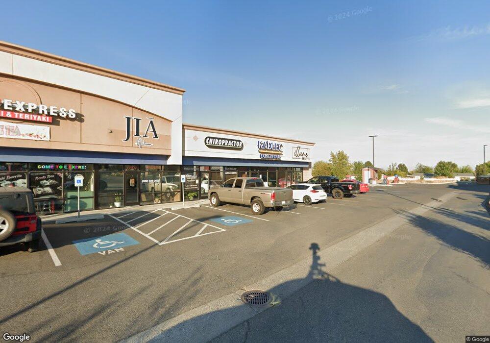
2560 Queensgate Dr Unit End Richland, WA 99352
Estimated Value: $4,440,835
--
Bed
--
Bath
12,040
Sq Ft
$369/Sq Ft
Est. Value
About This Home
This home is located at 2560 Queensgate Dr Unit End, Richland, WA 99352 and is currently estimated at $4,440,835, approximately $368 per square foot. 2560 Queensgate Dr Unit End is a home located in Benton County with nearby schools including Marcus Whitman Elementary School, Carmichael Middle School, and Richland High School.
Ownership History
Date
Name
Owned For
Owner Type
Purchase Details
Closed on
Apr 3, 2024
Sold by
Queensgate Retail Partners Llc
Bought by
Queensgate Retail Llc
Current Estimated Value
Home Financials for this Owner
Home Financials are based on the most recent Mortgage that was taken out on this home.
Original Mortgage
$1,900,000
Outstanding Balance
$1,748,425
Interest Rate
6.9%
Mortgage Type
New Conventional
Estimated Equity
$2,692,410
Purchase Details
Closed on
Sep 24, 2018
Sold by
Bb Queensgate Lc
Bought by
Queensgate Retail Partners Llc
Create a Home Valuation Report for This Property
The Home Valuation Report is an in-depth analysis detailing your home's value as well as a comparison with similar homes in the area
Home Values in the Area
Average Home Value in this Area
Purchase History
| Date | Buyer | Sale Price | Title Company |
|---|---|---|---|
| Queensgate Retail Llc | $3,900,000 | First American Title | |
| Queensgate Retail Partners Llc | $4,071,895 | Frontier Title Co |
Source: Public Records
Mortgage History
| Date | Status | Borrower | Loan Amount |
|---|---|---|---|
| Open | Queensgate Retail Llc | $1,900,000 |
Source: Public Records
Tax History Compared to Growth
Tax History
| Year | Tax Paid | Tax Assessment Tax Assessment Total Assessment is a certain percentage of the fair market value that is determined by local assessors to be the total taxable value of land and additions on the property. | Land | Improvement |
|---|---|---|---|---|
| 2024 | $25,436 | $2,724,490 | $892,960 | $1,831,530 |
| 2023 | $25,436 | $2,772,050 | $892,960 | $1,879,090 |
| 2022 | $30,125 | $2,772,050 | $892,960 | $1,879,090 |
| 2021 | $31,422 | $2,772,050 | $892,960 | $1,879,090 |
| 2020 | $33,260 | $2,772,050 | $892,960 | $1,879,090 |
| 2019 | $27,453 | $2,772,050 | $892,960 | $1,879,090 |
| 2018 | $32,863 | $2,465,300 | $892,960 | $1,572,340 |
| 2017 | $29,130 | $2,465,300 | $892,960 | $1,572,340 |
| 2016 | $28,708 | $2,465,300 | $892,960 | $1,572,340 |
| 2015 | $29,255 | $2,465,300 | $892,960 | $1,572,340 |
| 2014 | -- | $2,465,300 | $892,960 | $1,572,340 |
| 2013 | -- | $2,465,300 | $892,960 | $1,572,340 |
Source: Public Records
Map
Nearby Homes
- 132 Windhaven Ln
- 681 Lonetree Ln
- 692 Lonetree Ln
- 677 Lonetree Ln
- 667 Lonetree Ln
- 175 Bitterroot Dr
- 93 Ridgecliff Dr
- 95 Ridgecliff Dr
- 771 Rio Vista Loop Unit Lot17
- 775 Rio Vista Loop Unit Lot18
- 779 Rio Vista Loop Unit Lot19
- 783 Rio Vista Loop Unit Lot20
- 787 Rio Vista Loop Unit Lot21
- 791 Rio Vista Loop Unit Lot22
- 795 Rio Vista Loop Unit Lot23
- 711 Rio Vista Loop Unit Lot 2
- 750 Rio Vista Loop Unit Lot49
- 726 Rio Vista Loop Unit Lot52
- 734 Rio Vista Loop Unit Lot51
- 875 Tulip Ln
- 2761 Duportail St
- 139 Raintree Ln
- 134 Windhaven Ln
- 2522 Queensgate Dr
- 135 Windhaven Ln
- 138 Raintree Ln
- 140 Raintree Ln
- 689 Lonetree Ln
- 691 Lonetree Ln Spc 691 Ln Unit 691
- 691 Lonetree Ln
- 133 Windhaven Ln
- 695 Lonetree Ln
- 685 Lonetree Ln
- 136 Windhaven Ln
- 141 Raintree Ln
- 137 Raintree Ln
- 699 Lonetree Ln
- 128 Lonetree Ln Unit 128
- 142 Raintree Ln Unit 142
- 131 Windhaven Ln