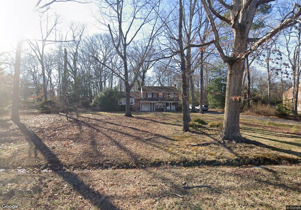
2560 Salisbury Rd Midlothian, VA 23113
Salisbury NeighborhoodEstimated Value: $534,660 - $657,000
4
Beds
3
Baths
2,530
Sq Ft
$232/Sq Ft
Est. Value
About This Home
This home is located at 2560 Salisbury Rd, Midlothian, VA 23113 and is currently estimated at $587,165, approximately $232 per square foot. 2560 Salisbury Rd is a home located in Chesterfield County with nearby schools including Bettie Weaver Elementary School, Midlothian Middle School, and Midlothian High School.
Ownership History
Date
Name
Owned For
Owner Type
Purchase Details
Closed on
Aug 12, 2014
Sold by
Freeman Trustee James W
Bought by
Freeman James W
Current Estimated Value
Home Financials for this Owner
Home Financials are based on the most recent Mortgage that was taken out on this home.
Original Mortgage
$160,000
Outstanding Balance
$122,136
Interest Rate
4.14%
Mortgage Type
New Conventional
Estimated Equity
$465,029
Create a Home Valuation Report for This Property
The Home Valuation Report is an in-depth analysis detailing your home's value as well as a comparison with similar homes in the area
Home Values in the Area
Average Home Value in this Area
Purchase History
| Date | Buyer | Sale Price | Title Company |
|---|---|---|---|
| Freeman James W | $176,666 | -- |
Source: Public Records
Mortgage History
| Date | Status | Borrower | Loan Amount |
|---|---|---|---|
| Open | Freeman James W | $160,000 |
Source: Public Records
Tax History
| Year | Tax Paid | Tax Assessment Tax Assessment Total Assessment is a certain percentage of the fair market value that is determined by local assessors to be the total taxable value of land and additions on the property. | Land | Improvement |
|---|---|---|---|---|
| 2025 | $3,959 | $442,000 | $128,300 | $313,700 |
| 2024 | $3,959 | $420,600 | $115,900 | $304,700 |
| 2023 | $3,326 | $365,500 | $101,700 | $263,800 |
| 2022 | $3,098 | $336,700 | $98,800 | $237,900 |
| 2021 | $3,060 | $315,200 | $96,900 | $218,300 |
| 2020 | $2,921 | $307,500 | $96,900 | $210,600 |
| 2019 | $2,786 | $293,300 | $95,000 | $198,300 |
| 2018 | $2,786 | $293,300 | $95,000 | $198,300 |
| 2017 | $2,715 | $282,800 | $94,100 | $188,700 |
| 2016 | $2,669 | $278,000 | $90,300 | $187,700 |
| 2015 | $2,668 | $275,300 | $90,300 | $185,000 |
| 2014 | $2,544 | $265,000 | $90,300 | $174,700 |
Source: Public Records
Map
Nearby Homes
- 2711 Salisbury Rd
- 2101 Normandstone Dr
- 2303 Bream Dr
- 12901 River Hills Dr
- 2940 River Hills Ln
- 13111 Powderham Ln
- 3000 River Hills Ln
- 1860 Glamorgan Ln
- 12111 Framar Dr
- 12212 Deerhurst Dr
- 2540 Kentford Rd
- 13155 Sodbury Dr
- 12213 Capwell Dr
- 3107 Handley Rd
- 13607 Danwoods Rd
- 3030 Mount Hill Dr
- 13637 Langford Dr
- 11911 Kilrenny Rd
- 1303 Staffordshire Ct
- 1407 Unison Dr
- 2550 Salisbury Rd
- 2600 Salisbury Rd
- 2541 Radstock Rd
- 2531 Radstock Rd
- 12921 Framar Dr
- 2610 Salisbury Rd
- 2551 Radstock Rd
- 2551 Salisbury Rd
- 2601 Salisbury Rd
- 2521 Radstock Rd
- 2545 Salisbury Rd
- 2530 Salisbury Rd
- 2601 Radstock Rd
- 2620 Salisbury Rd
- 2615 Salisbury Rd
- 2420 Chartstone Dr
- 2540 Radstock Rd
- 2535 Salisbury Rd
- 2400 Chartstone Dr
- 2550 Radstock Rd
Your Personal Tour Guide
Ask me questions while you tour the home.