25603 E 750 Rd Wagoner, OK 74467
Estimated Value: $206,000 - $355,000
Studio
--
Bath
1,600
Sq Ft
$171/Sq Ft
Est. Value
About This Home
This home is located at 25603 E 750 Rd, Wagoner, OK 74467 and is currently estimated at $273,941, approximately $171 per square foot. 25603 E 750 Rd is a home located in Wagoner County with nearby schools including Ellington Elementary School, William R. Teague Elementary School, and Wagoner Middle School.
Ownership History
Date
Name
Owned For
Owner Type
Purchase Details
Closed on
Apr 3, 2014
Sold by
Mullins Sparky and Mullins Sheila Denise
Bought by
Mullins Sparky and Mullins Sheila
Current Estimated Value
Purchase Details
Closed on
Nov 30, 2010
Sold by
Mullins Sparky and Mullins Shelia Denise
Bought by
Mullins Sparky and Mullins Sheila Denise
Purchase Details
Closed on
Apr 3, 2008
Sold by
Jones Bill and Jones Bill C
Bought by
Mullins Sparky and Mullins Shelia Denise
Purchase Details
Closed on
Jun 23, 1993
Sold by
Jones Bill
Create a Home Valuation Report for This Property
The Home Valuation Report is an in-depth analysis detailing your home's value as well as a comparison with similar homes in the area
Purchase History
| Date | Buyer | Sale Price | Title Company |
|---|---|---|---|
| Mullins Sparky | -- | None Available | |
| Mullins Sparky | -- | None Available | |
| Mullins Sparky | $192,500 | Wagoner County Abstract Comp | |
| -- | -- | -- |
Source: Public Records
Tax History
| Year | Tax Paid | Tax Assessment Tax Assessment Total Assessment is a certain percentage of the fair market value that is determined by local assessors to be the total taxable value of land and additions on the property. | Land | Improvement |
|---|---|---|---|---|
| 2025 | $338 | $3,721 | $1,289 | $2,432 |
| 2024 | $333 | $3,612 | $1,251 | $2,361 |
| 2023 | $324 | $3,507 | $1,247 | $2,260 |
| 2022 | $314 | $3,405 | $1,242 | $2,163 |
| 2021 | $306 | $3,306 | $1,239 | $2,067 |
| 2020 | $304 | $3,209 | $1,236 | $1,973 |
| 2019 | $254 | $3,116 | $1,232 | $1,884 |
| 2018 | $262 | $3,026 | $1,228 | $1,798 |
| 2017 | $250 | $2,937 | $1,226 | $1,711 |
| 2016 | $236 | $2,852 | $1,212 | $1,640 |
| 2015 | -- | $2,769 | $1,189 | $1,580 |
| 2014 | -- | $2,688 | $1,166 | $1,522 |
Source: Public Records
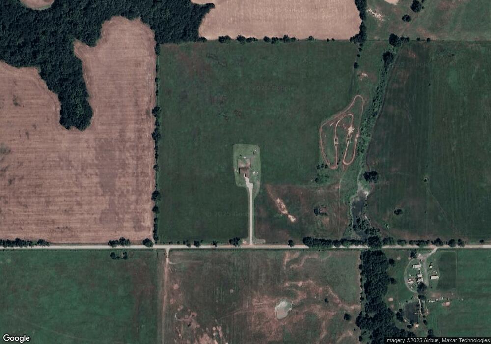
Map
Nearby Homes
- 120 E 740 Rd
- 60 E 740 Rd
- 69 S 270 Rd
- 27318 E 758 Rd
- 75448 U S 69
- 75649 S Highway 69 Unit 1
- 1104 SW 22nd St
- 26064 E 731 Rd
- 0 Hwy 69 Hwy S Unit 2543403
- 0 Hwy 69 Rd Unit 2543409
- 905 SW 21st St
- 1208 SW 14th Ct
- 1421 S Hayes Ave
- 308 Roosevelt Ave
- 1204 SW 12th Place
- 1807 SW 2nd Place
- 122 Yorkshire Blvd
- 0 State Hwy 51 Hwy W Unit 2529536
- 0 E 750 Rd Unit 2543407
- 205 S Mary Ave
Your Personal Tour Guide
Ask me questions while you tour the home.