2561 Deer Path Trail Red Wing, MN 55066
Red Wing AreaEstimated Value: $353,000 - $416,000
About This Home
This home is located at 2561 Deer Path Trail, Red Wing, MN 55066 and is currently estimated at $383,013, approximately $293 per square foot. 2561 Deer Path Trail is a home located in Goodhue County with nearby schools including Sunnyside Elementary School, Burnside Elementary School, and Twin Bluff Middle School.
Ownership History
We collect this data history from publicly available records. To have your information removed, we recommend requesting removal directly through your county’s website.
Purchase Details
Purchase Details
Purchase Details
Home Values in the Area
Average Home Value in this Area
Purchase History
We collect this data history from publicly available records. To have your information removed, we recommend requesting removal directly through your county’s website.
| Date | Buyer | Sale Price | Title Company |
|---|---|---|---|
| -- | None Available | ||
| -- | -- | ||
| $242,550 | -- |
Tax History
We collect this data history from publicly available records. To have your information removed, we recommend requesting removal directly through your county’s website.
| Year | Tax Paid | Tax Assessment Tax Assessment Total Assessment is a certain percentage of the fair market value that is determined by local assessors to be the total taxable value of land and additions on the property. | Land | Improvement |
|---|---|---|---|---|
| 2025 | $4,672 | $348,300 | $58,400 | $289,900 |
| 2024 | -- | $342,700 | $58,400 | $284,300 |
| 2023 | $4,440 | $323,100 | $58,400 | $264,700 |
| 2022 | $4,206 | $327,500 | $64,900 | $262,600 |
| 2021 | $3,744 | $281,200 | $64,900 | $216,300 |
| 2020 | $3,746 | $253,600 | $64,900 | $188,700 |
| 2019 | $3,712 | $236,600 | $64,900 | $171,700 |
| 2018 | $3,094 | $237,200 | $62,700 | $174,500 |
| 2017 | $3,022 | $209,400 | $62,700 | $146,700 |
| 2016 | $2,808 | $207,100 | $62,700 | $144,400 |
| 2015 | $2,666 | $201,600 | $62,700 | $138,900 |
| 2014 | -- | $190,000 | $62,700 | $127,300 |
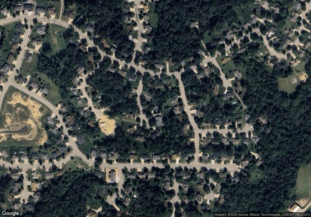
Map
- 2448 Hallquist Ave
- 2570 Sunny Meadow Ln
- 2560 Sunny Meadow Ln
- 2351 Hallquist Ave
- 2326 Hallquist Ave
- 2553 Frances Ave
- 2308 Brooks Ave
- 2561 Goldfinch Ln
- 2581 Goldfinch Ln
- 2571 Goldfinch Ln
- 2580 Goldfinch Ln
- 2572 Goldfinch Ln
- 2298 Brooks Ave
- 380 Frenn Ave
- 2261 Brooks Ave
- 2549 Malmquist Ave
- 762 Pioneer Rd
- LOT 8 Pine Ridge Blvd
- 2840 Pine Ridge Blvd
- 732 Hi Park Ave
- 2440 Hallquist Ave
- 2456 Hallquist Ave
- 2551 Deer Path Trail
- 2550 Eunice Ave
- 2560 Eunice Ave
- 2437 Hallquist Ave
- 2449 Hallquist Ave
- 2426 Hallquist Ave
- 2470 Hallquist Ave
- 2461 Hallquist Ave
- 2544 Deer Path Trail
- 2571 Deer Path Trail
- 2570 Eunice Ave
- Lot 3, Blk 3 Hallquist Ave
- Lot 7, Blk 1 Hallquist Ave
- Lot 2, Blk 3 Hallquist Ave
- 2551 Eunice Ave
- 2425 Hallquist Ave
- 2519 Pine Ridge Blvd
- 2416 Hallquist Ave
Ask me questions while you tour the home.