2561 Kerria Dr Unit 49 Howell, MI 48855
Estimated Value: $282,000 - $309,000
2
Beds
2
Baths
1,540
Sq Ft
$190/Sq Ft
Est. Value
About This Home
This home is located at 2561 Kerria Dr Unit 49, Howell, MI 48855 and is currently estimated at $292,447, approximately $189 per square foot. 2561 Kerria Dr Unit 49 is a home located in Livingston County with nearby schools including Ruahmah J. Hutchings Elementary, Parker Middle School, and Howell High School.
Ownership History
Date
Name
Owned For
Owner Type
Purchase Details
Closed on
Jul 29, 2016
Sold by
Tumath Allen and Tumath Anna
Bought by
Christian Roy W and Christian Jean D
Current Estimated Value
Purchase Details
Closed on
May 8, 2013
Sold by
Micb Real Estate Holdings Llc
Bought by
Tumath Allen and Tumath Anna
Purchase Details
Closed on
May 3, 2011
Sold by
Michigan Commerce Bank
Bought by
Micb Real Estate Holdings Llc
Purchase Details
Closed on
Apr 27, 2010
Sold by
Mitch Harris Building Company Inc
Bought by
Michigan Commerce Bank
Purchase Details
Closed on
Nov 13, 2002
Sold by
G D Communities Llc
Bought by
Forth Ryan C and Forth Katherine P
Home Financials for this Owner
Home Financials are based on the most recent Mortgage that was taken out on this home.
Original Mortgage
$137,694
Interest Rate
6.13%
Mortgage Type
Balloon
Create a Home Valuation Report for This Property
The Home Valuation Report is an in-depth analysis detailing your home's value as well as a comparison with similar homes in the area
Home Values in the Area
Average Home Value in this Area
Purchase History
| Date | Buyer | Sale Price | Title Company |
|---|---|---|---|
| Christian Roy W | $75,000 | None Available | |
| Tumath Allen | $100,000 | None Available | |
| Micb Real Estate Holdings Llc | -- | -- | |
| Michigan Commerce Bank | -- | -- | |
| Forth Ryan C | $172,118 | Multiple |
Source: Public Records
Mortgage History
| Date | Status | Borrower | Loan Amount |
|---|---|---|---|
| Previous Owner | Forth Ryan C | $137,694 | |
| Closed | Forth Ryan C | $25,818 |
Source: Public Records
Tax History Compared to Growth
Tax History
| Year | Tax Paid | Tax Assessment Tax Assessment Total Assessment is a certain percentage of the fair market value that is determined by local assessors to be the total taxable value of land and additions on the property. | Land | Improvement |
|---|---|---|---|---|
| 2025 | $3,193 | $125,600 | $0 | $0 |
| 2024 | $3,099 | $127,300 | $0 | $0 |
| 2023 | $2,956 | $113,800 | $0 | $0 |
| 2022 | $622 | $91,100 | $0 | $0 |
| 2021 | $3,351 | $98,600 | $0 | $0 |
| 2020 | $3,352 | $91,100 | $0 | $0 |
| 2019 | $3,298 | $80,500 | $0 | $0 |
| 2018 | $1,959 | $76,900 | $0 | $0 |
| 2017 | $2,176 | $75,700 | $0 | $0 |
| 2016 | $1,524 | $71,300 | $0 | $0 |
| 2014 | $2,736 | $61,700 | $0 | $0 |
| 2012 | $2,736 | $55,800 | $0 | $0 |
Source: Public Records
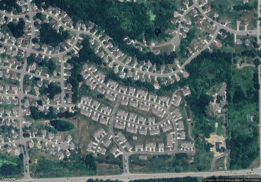
Map
Nearby Homes
- 1570 Princewood Blvd
- 2511 Kerria Dr Unit 42
- 1633 Frech Ln
- 2495 Moore Place
- 1400 Oakcrest Rd
- 3040 Bogues View Dr
- 475 Cannonade Loop
- 571 Cannonade Loop
- 523 Cannonade Loop
- 583 Cannonade Loop
- The Austin Plan at Broadmoor
- The Charlotte Plan at Broadmoor
- The Harrison Plan at Broadmoor
- The Bloomington Plan at Broadmoor
- The Columbia Plan at Broadmoor
- VACANT LOT Thompson Shore Dr
- 3224 Waverly Woods Ln
- 3227 Waverly Woods Ln
- 2653 Ravine Side N
- 2700 Court Ln N
- 2565 Kerria Dr Unit 50
- 2553 Kerria Dr Unit 48
- 2571 Kerria Dr Unit 51
- 2549 Kerria Dr Unit 47
- 2575 Kerria Dr Unit 52
- 2560 Kerria Dr Unit 115
- 2556 Kerria Dr Unit 114
- 2566 Kerria Dr Unit 116
- 2644 Laurel Oak Dr Unit 182
- 2579 Kerria Dr Unit 53
- 2626 Laurel Oak Dr
- 2662 Laurel Oak Dr Unit 181
- 2543 Kerria Dr Unit 46
- 2608 Laurel Oak Dr Unit 184
- 2539 Kerria Dr Unit 45
- 2546 Kerria Dr
- 2546 Kerria Dr Unit 31
- 2680 Laurel Oak Dr
- 2542 Kerria Dr Unit 30
- 2576 Kerria Dr Unit 118