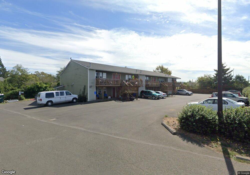
2561 N Roosevelt Dr Unit 204 Seaside, OR 97138
Estimated Value: $176,000 - $2,718,000
1
Bed
1
Bath
910
Sq Ft
$1,590/Sq Ft
Est. Value
About This Home
This home is located at 2561 N Roosevelt Dr Unit 204, Seaside, OR 97138 and is currently estimated at $1,447,000, approximately $1,590 per square foot. 2561 N Roosevelt Dr Unit 204 is a home located in Clatsop County with nearby schools including Seaside High School.
Ownership History
Date
Name
Owned For
Owner Type
Purchase Details
Closed on
Jun 6, 2019
Sold by
Clatsop County Housing Authority
Bought by
Northwest Oregon Housing Authority
Current Estimated Value
Home Financials for this Owner
Home Financials are based on the most recent Mortgage that was taken out on this home.
Original Mortgage
$3,150,203
Outstanding Balance
$1,326,965
Interest Rate
3.9%
Mortgage Type
Commercial
Estimated Equity
$120,035
Create a Home Valuation Report for This Property
The Home Valuation Report is an in-depth analysis detailing your home's value as well as a comparison with similar homes in the area
Home Values in the Area
Average Home Value in this Area
Purchase History
| Date | Buyer | Sale Price | Title Company |
|---|---|---|---|
| Northwest Oregon Housing Authority | $3,153,724 | Ticor Title Ins Co | |
| Northwest Oregon Housing Authority | $3,153,724 | Ticor Title Company Of Or |
Source: Public Records
Mortgage History
| Date | Status | Borrower | Loan Amount |
|---|---|---|---|
| Open | Northwest Oregon Housing Authority | $3,150,203 | |
| Closed | Northwest Oregon Housing Authority | $3,150,203 |
Source: Public Records
Tax History Compared to Growth
Tax History
| Year | Tax Paid | Tax Assessment Tax Assessment Total Assessment is a certain percentage of the fair market value that is determined by local assessors to be the total taxable value of land and additions on the property. | Land | Improvement |
|---|---|---|---|---|
| 2024 | -- | $106,389 | -- | -- |
| 2023 | -- | $103,291 | -- | -- |
| 2022 | $0 | $100,283 | $0 | $0 |
| 2021 | $0 | $97,363 | $0 | $0 |
| 2020 | $0 | $94,528 | $0 | $0 |
| 2019 | $0 | $91,775 | $0 | $0 |
| 2018 | $0 | $89,102 | $0 | $0 |
| 2017 | $0 | $86,507 | $0 | $0 |
| 2016 | $0 | $83,988 | $0 | $83,988 |
| 2015 | -- | $81,542 | $0 | $81,542 |
| 2014 | -- | $79,167 | $0 | $0 |
| 2013 | -- | $76,862 | $0 | $0 |
Source: Public Records
Map
Nearby Homes
- 2657 Highway 101 N Unit 42
- 2469 Pine St
- 802 25th Ave
- 000 Neawanna St
- 2549 Neawanna St
- 2624 Neawanna St
- 623 Indian Way
- 782 Woodland Ct
- 814 17th Ave
- 1265 D St
- 790 17th Ave
- 0 Wellington Ave Unit 25-48
- 0 Wellington Ave Unit 1202
- 2343 N Fork Rd
- 1775 Thompson Falls Dr
- 2344 Royal View Dr
- 0 N Wahanna Rd
- 3389 U S 101
- 3387-3389 U S 101
- 196 Dylan Ct
- 2561 N Roosevelt Dr Unit 203
- 2561 N Roosevelt Dr Unit 202
- 2561 N Roosevelt Dr Unit 201
- 2561 N Roosevelt Dr Unit 105
- 2561 N Roosevelt Dr Unit 104
- 2561 N Roosevelt Dr Unit 103
- 2561 N Roosevelt Dr Unit 101
- 2561 N Roosevelt Dr Unit 205
- 2561 N Roosevelt Dr Unit 102
- 2561 N Roosevelt Dr
- 2540 Mill Creek Ln Unit 201
- 2540 Mill Creek Ln Unit 215
- 2540 Mill Creek Ln Unit 101
- 2540 Mill Creek Ln Unit 102
- 2540 Mill Creek Ln
- 2540 Mill Creek Ln Unit 202
- 2609 N Roosevelt
- 2609 Hwy 101 N
- 2636 Mill Creek Ln Unit 16
- 2609 U S 101