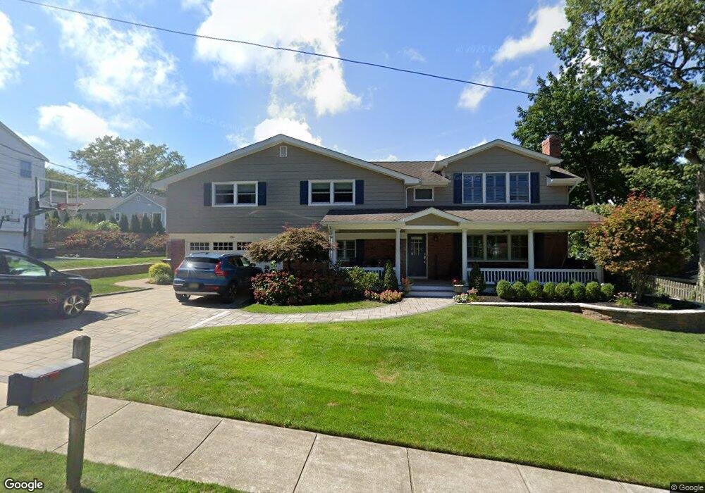
2561 Summit Rd Manasquan, NJ 08736
Estimated Value: $1,122,829 - $1,209,000
About This Home
This home is located at 2561 Summit Rd, Manasquan, NJ 08736 and is currently estimated at $1,164,957, approximately $393 per square foot. 2561 Summit Rd is a home located in Monmouth County with nearby schools including Wall High School and The Brookside School.
Ownership History
We collect this data history from publicly available records. To have your information removed, we recommend requesting removal directly through your county’s website.
Purchase Details
Purchase Details
Home Financials for this Owner
Home Financials are based on the most recent Mortgage that was taken out on this home.Home Values in the Area
Average Home Value in this Area
Purchase History
We collect this data history from publicly available records. To have your information removed, we recommend requesting removal directly through your county’s website.
| Date | Buyer | Sale Price | Title Company |
|---|---|---|---|
| -- | Dougherty Delia A | ||
| -- | None Listed On Document | ||
| $200,000 | -- |
Mortgage History
We collect this data history from publicly available records. To have your information removed, we recommend requesting removal directly through your county’s website.
| Date | Status | Borrower | Loan Amount |
|---|---|---|---|
| Previous Owner | $150,000 |
Tax History
We collect this data history from publicly available records. To have your information removed, we recommend requesting removal directly through your county’s website.
| Year | Tax Paid | Tax Assessment Tax Assessment Total Assessment is a certain percentage of the fair market value that is determined by local assessors to be the total taxable value of land and additions on the property. | Land | Improvement |
|---|---|---|---|---|
| 2025 | $11,305 | $535,800 | $250,000 | $285,800 |
| 2024 | $10,968 | $535,800 | $250,000 | $285,800 |
| 2023 | $10,968 | $535,800 | $250,000 | $285,800 |
| 2022 | $10,700 | $535,800 | $250,000 | $285,800 |
| 2021 | $10,700 | $535,800 | $250,000 | $285,800 |
| 2020 | $10,571 | $535,800 | $250,000 | $285,800 |
| 2019 | $10,443 | $535,800 | $250,000 | $285,800 |
| 2018 | $10,352 | $535,800 | $250,000 | $285,800 |
| 2017 | $10,148 | $535,800 | $250,000 | $285,800 |
| 2016 | $9,934 | $535,800 | $250,000 | $285,800 |
| 2015 | $10,700 | $362,700 | $133,900 | $228,800 |
| 2014 | $10,316 | $357,700 | $130,000 | $227,700 |
Map
- 1235 Nan St
- 2558 Stearns Dr
- 2548 Constance Dr
- 1307 W Union Ln Unit A4
- 1219 Tecumseh Place
- 400 Lenape Trail
- 1135 Tecumseh Place
- 301 Old Bridge Rd
- 1432 Oval Rd
- 1442 Oval Rd
- 432 Oval Rd
- 5 Berkeley Square
- 308 South St
- 87 Manito Rd
- 2558 Collier Rd
- 640 Park Ave
- 619 Bradley Ave
- 642 Rankin Rd
- 1212 Ivanhoe Path
- 619 Park Ave
- 2572 Summit Rd
- 2570 Summit Rd
- 2573 Crestview Rd
- 2576 Summit Rd
- 2569 Crestview Rd
- 2575 Crestview Rd
- 2568 Summit Rd
- 2573 Summit Rd
- 2567 Crestview Rd
- 2579 Crestview Rd
- 2569 Summit Rd
- 2565 Crestview Rd
- 2560 Constance Dr
- 2582 Summit Rd
- 2581 Summit Rd
- 2574 Crestview Rd
- 1217 Ivy Rd
- 2570 Crestview Rd
- 2565 Summit Rd
- 2556 Constance Dr
Ask me questions while you tour the home.